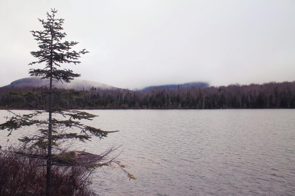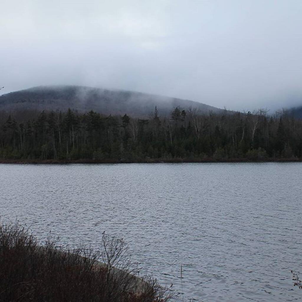

Wakely Pond 📍

Wakely Pond (37 acres) lies on the far eastern edge of the Moose River Plains, roughly 1.5 miles east of Wakely Dam/Cedar River Entrance on Cedar River Road.

Wakely Pond has a maximum depth
of nine feet and an estimated mean depth of five feet. Much of the pond bottom is muck with some sand and limited areas of bedrock.

🗺️ Maps 🖼️ Photos
Map: Estimated Firearm Ownership Percentage
Map: Ha De Ron Dah Wilderness
SVGZ Graphic: Capital Region Population Density
Map: Galen Wildlife Management Area
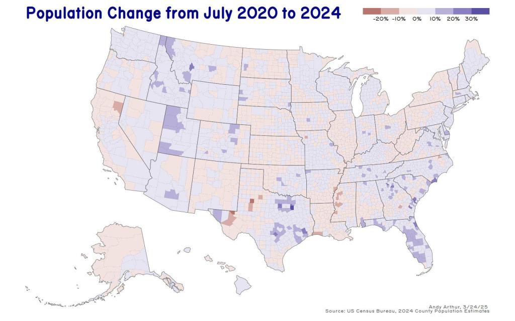
Thematic Map: US Population Change - 2020 to 2024