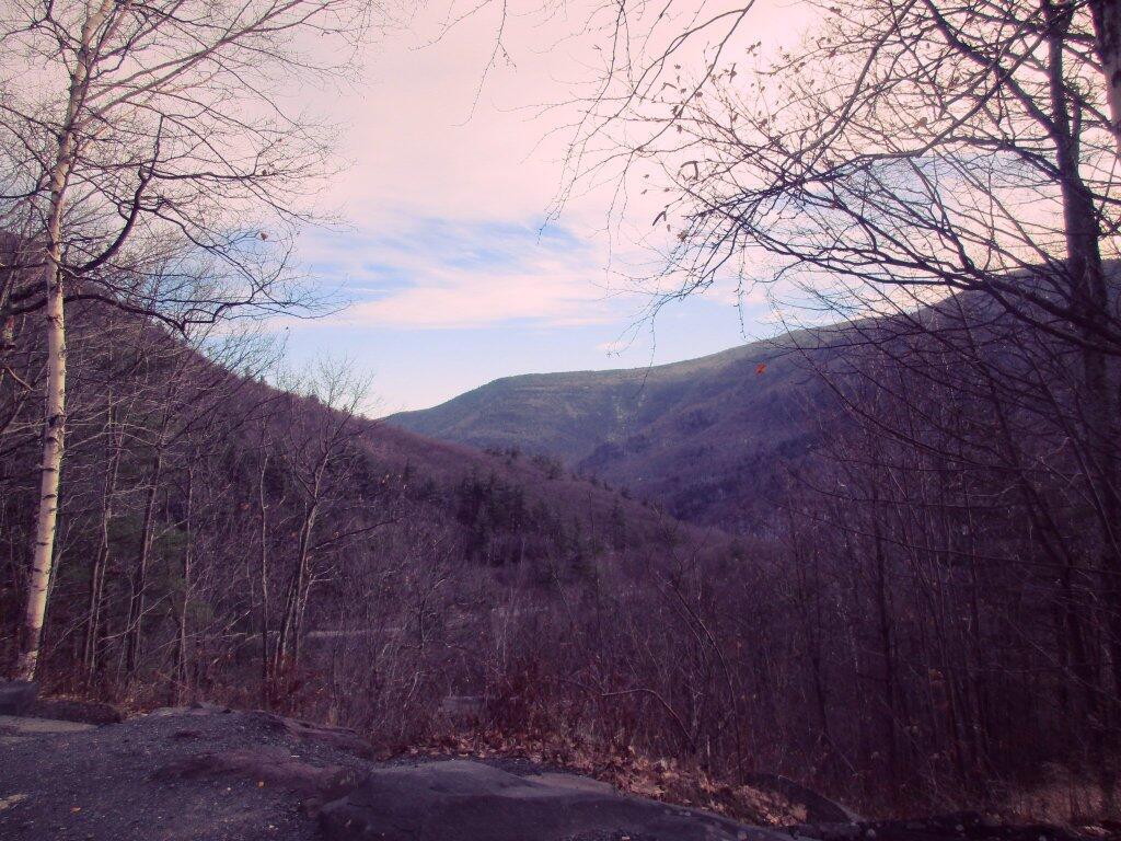
Kaaterskill Clove At Dusk.
Driving back home, my dash board camera made this video of the twisty, narrow NY 23A heading down the Kaaterskill Clove from Haines Falls/Hunter to Palenville.
Driving back home, my dash board camera made this video of the twisty, narrow NY 23A heading down the Kaaterskill Clove from Haines Falls/Hunter to Palenville.

A rendering of the narrow valley where NY 23 winds its way up to Tannersville.
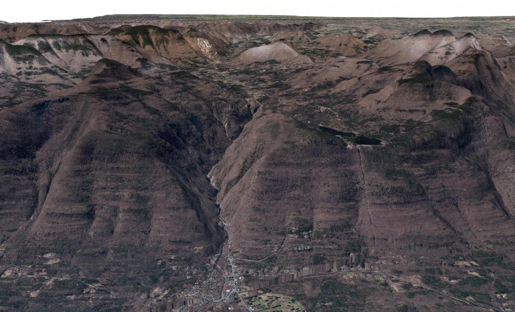

The original routing used to be a lot steeper and direct up to Haines Falls. I'm not totally sure when the old road was replaced but probably fairly early on at the start of the automotive age as the curves are quite sharp and the road narrow.
")
