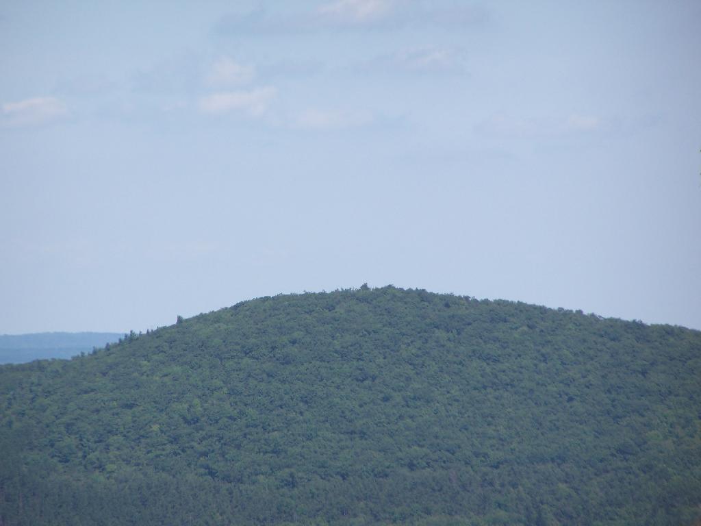
Steenberg Mountain
That's one of the peaks outside of Catskill Park that's privately owned, but quite noticeable.
Saturday August 28, 2010 — Ashland Pinnacle State Forest
That's one of the peaks outside of Catskill Park that's privately owned, but quite noticeable.
Saturday August 28, 2010 — Ashland Pinnacle State Forest

This sign is seen driving up County Route 23A when it becomes the DEC Truck Trail over South Mountain. It's only recent that the state has allowed seasonal use highways to be closed on November 1st, but I'm sure from the sign they want to make it clear that people should not be driving up this steep road when its covered with ice or snow.
Saturday August 28, 2010 — Ashland Pinnacle State Forest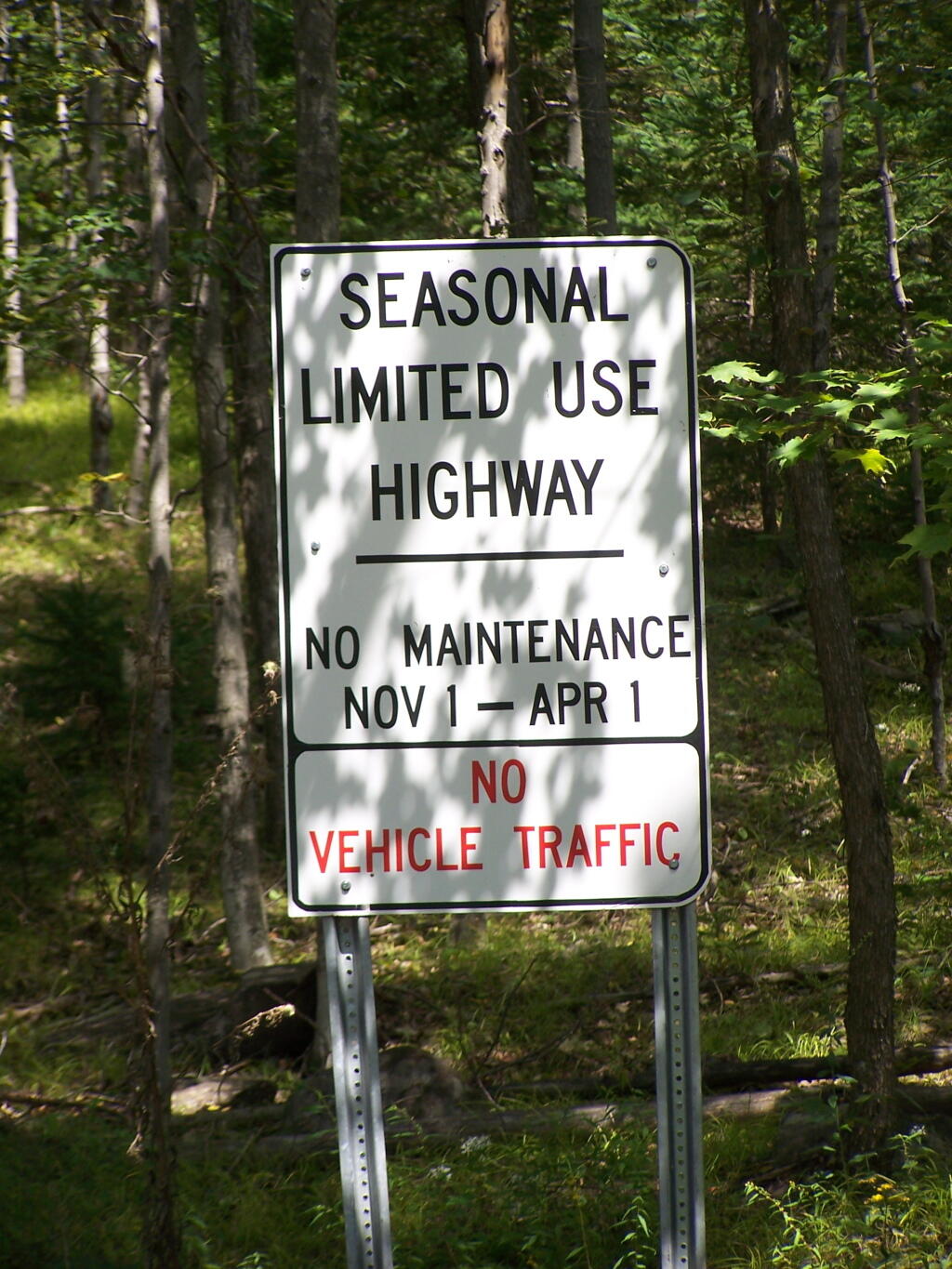

It's too bad that the sun wasn't good for this picture. One of these days, I'll get up there in the morning and get some better pictures of the mountains.
Saturday August 28, 2010 — Ashland Pinnacle State Forest

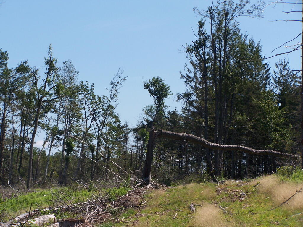
This portion of the truck trail over South Mountain, as it starts to descend into the Schoharie Valley is quite steep. You can see part of the vast expanse that has recently been logged.
Saturday August 28, 2010 — Ashland Pinnacle State Forest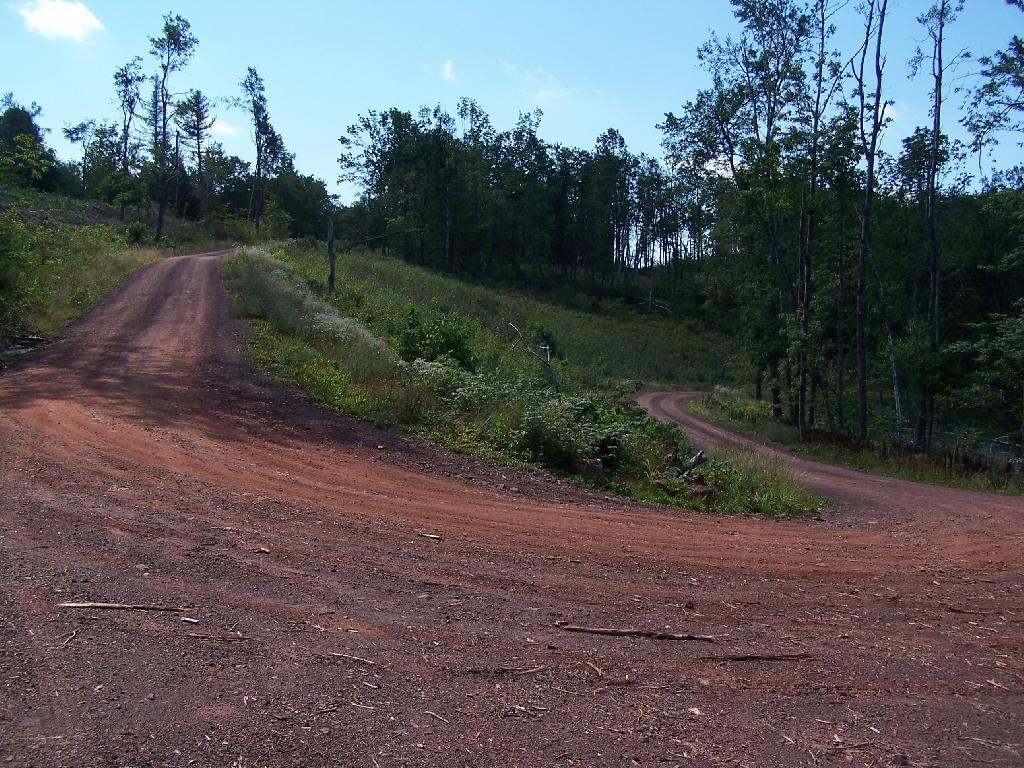
This portion of the Long Path was a little easier to follow, due to be along the log haul road, but there still was relatively few markers. Just past here, I turned back, as it was too difficult to follow, and it was getting late, having spent so much time looking for the trail.
Saturday August 28, 2010 — Ashland Pinnacle State Forest