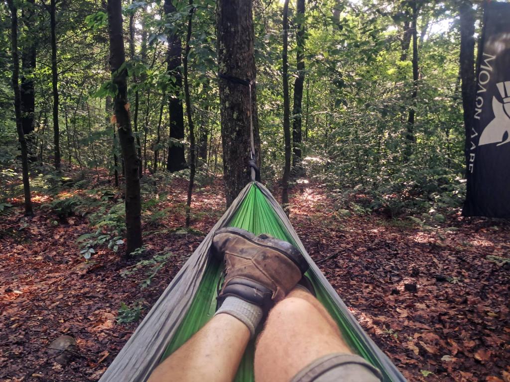
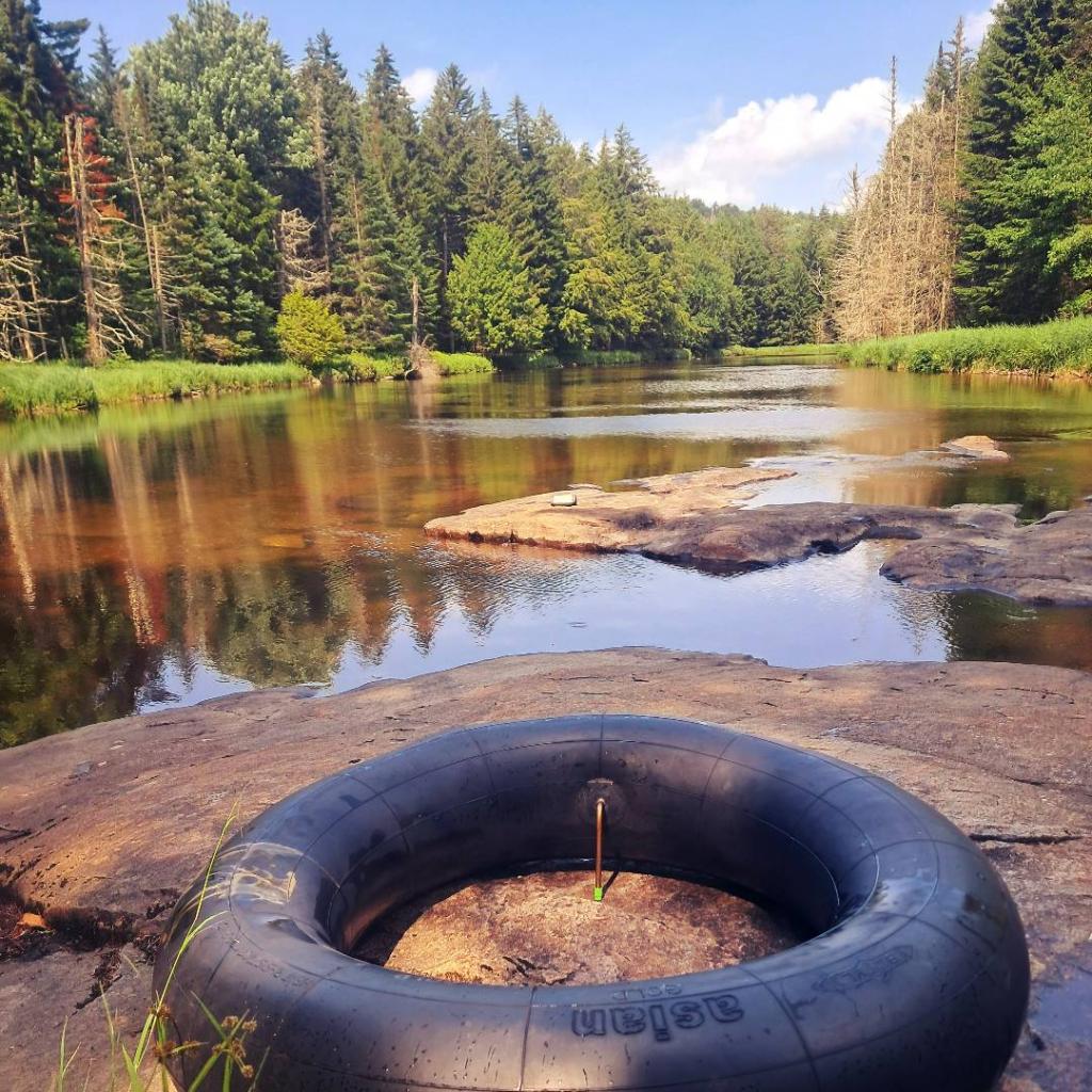
Piseco-Powley Road 📍

Stretching from Stratford to Piseco, Piseco-Powley Road winds along the western edge of one of the last remaining old Adirondack dirt roads. Lined with venerable spruce trees, some nearly brushing against the road, it offers a glimpse of nature’s untouched beauty. The tranquil West Branch of the East Canada Creek intersects Powley Road at Powley Place. This spot is positioned 8 miles southwest of Piseco Outlet, where NY 10 crosses, and approximately 7.5 miles from the point Piseco-Powley Road branches off from NY 10. When approached from the south, Powley Place is found 10.5 miles northeast from Stratford via Piseco Road. Notably, this area hosts four campsites, forming part of the 22 designated camping spots along Piseco-Powley Road, enhancing the allure of this picturesque route.

http://www.dec.ny.gov/lands/28339.html

Get maps of campsites and destinations as a single-page PDF here: https://www.scribd.com/document/640949248/Piseco-Powley-Road-Campsite-Map-Pack

🗺️ Maps 🖼️ Photos 📽️ Videos
Map: Kaaterskilll Falls
Map: Doodletown Wildlife Management Area
SVGZ Graphic: Town of Bethlehem - Population Density
Thematic Map: 2023 Births Per 1,000 Women Aged 15-44

Still My Happy Place

The water levels may have been low, and the water less refreshing then sometimes at the Potholers, but it still was a nice cool place to hang out during the past two weekends.

Saturday July 25, 2020 — Piseco-Powley Road
Map: Severence Hill Trail
Terrain Map: South Western Adirondacks Peaks
Map: Green Mnt NF Forest Road 74 Camping