Ferris Lake Wild Forest 📍

Encompassing a vast expanse of 147,454 acres, the Ferris Lake Wild Forest is characterized by the presence of ancient spruce stands. These can be observed along the Powley-Piseco Road, the northern banks of Alderbed Stream, the vicinity of Blind Man’s Vly, and the slopes of both Big and Little Alderbed Mountains. Adding to its allure, the region boasts an array of ponds, lakes, and streams, attracting outdoor enthusiasts and sportsmen year-round.

The Wild Forest accommodates 14.6 miles of hiking trails, along with an extensive 117-mile network of snowmobile trails (many of which are multi-use), catering to various recreational preferences. With 97 primitive campsites, a boat launch, and a boat dock, the area is well-equipped for adventurers. Furthermore, the public can access 10.95 miles of roads, granting motorized entry to this expansive and captivating property.

https://www.dec.ny.gov/lands/114279.html

Download the PDF Map Pack
🗺️ Maps 🖼️ Photos 📽️ Videos

Ferris Lake

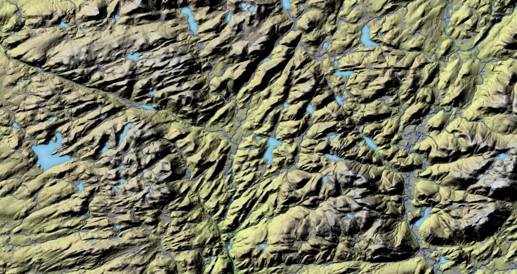
This shows the terrain around Ferris Lake, including Jerseyfield Lake. What I found real interesting with this terrain map was the long valley that goes through the entire area, over 50 miles. Too bad there are many lakes and marshes, as otherwise that would be a natural travel corridor.

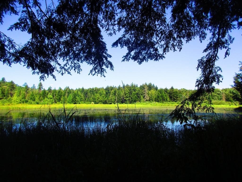
 Ferris Lake

Map: Mountain House Trail and North Mountain

East Canada Creek Below Edick Road Ledge

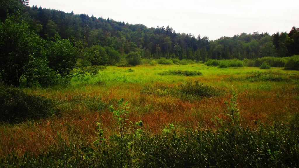
If you climb down the steep ledge off Edick Road Campsite 1, you can find a quiet place to watch wildlife from the shadows overlooking a marshy part of the East Canada Creek.

Saturday August 14, 2021 — Piseco-Powley RoadBig Alderbed Lake Trail 🗺Clockmill Corners to NY 10 🗺Edick Road Swimming Hole 🗺Goldmine Stream Falls 🗺House Pond Trail 🗺Lower Powley Bridge to Sugarbush Mountain 🗺Meco Lake Trail (Piseco-Powley Road) 🗺Overview Map Piseco-Powley Road 🗺Piseco Road Swimming Holes 🗺Powley Place - East Canada Creek - Kayak Canoe 🗺Sand Lake 🗺Sand Lake Trail 🗺Sugarbush Mountain to Clockmill Corners 🗺PDF with All Maps 📚
Map: Battery Diagram
Map: Coulumbe Creek Trail