Ferris Lake Wild Forest 📍

Encompassing a vast expanse of 147,454 acres, the Ferris Lake Wild Forest is characterized by the presence of ancient spruce stands. These can be observed along the Powley-Piseco Road, the northern banks of Alderbed Stream, the vicinity of Blind Man’s Vly, and the slopes of both Big and Little Alderbed Mountains. Adding to its allure, the region boasts an array of ponds, lakes, and streams, attracting outdoor enthusiasts and sportsmen year-round.

The Wild Forest accommodates 14.6 miles of hiking trails, along with an extensive 117-mile network of snowmobile trails (many of which are multi-use), catering to various recreational preferences. With 97 primitive campsites, a boat launch, and a boat dock, the area is well-equipped for adventurers. Furthermore, the public can access 10.95 miles of roads, granting motorized entry to this expansive and captivating property.

https://www.dec.ny.gov/lands/114279.html

Download the PDF Map Pack
🗺️ Maps 🖼️ Photos 📽️ Videos

Powley Place – East Canada Creek – Kayak Canoe

From the bridge at Powley Place, you can paddle about two miles downstream before hitting the first major rapids, where the stream divides around an island. You can also explore a short distance upstream until beaver dams block your path.

Powley Place - East Canada Creek - Kayak Canoe

Map: Mountain House Trail and North Mountain
SVGZ Graphic: Distance to a Dollar Store

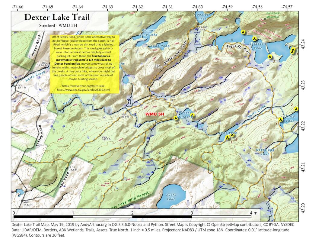
Dexter Lake Trail

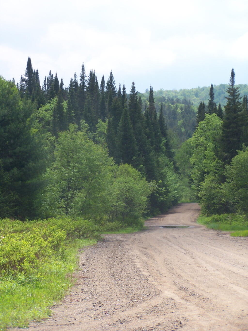
Off of Sealy Road in Stratford (which is an alternative way to get to Piseco-Powley Road), there is Hall Road which is marked with a sign, which you can hike back along to a snowmobile trail that goes back 2.5 miles to Dexter Lake with a spur off to the south shore of Spectacle Lake. The trail is mostly flat, with modest up and down, and some wet spots especially in the spring time.

 Dexter Lake Trail

Thematic Map: Niagara Falls Landfills
Terrain Map: Albany County New Buildings 2015-2019
Thematic Map: Vermont Town Population Non-Contigous Cartogram