Essex County πŸ“

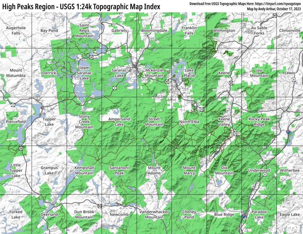
Essex County is a county located in the U.S. state of New York. As of the 2010 census, the population was 39,370. Its county seat is Elizabethtown. Along with Hamilton County, Essex is entirely within the Adirondack Park.

Essex County is in the northeastern part of New York State, just west of Vermont along the eastern boundary of the State. The eastern boundary of Essex County is Lake Champlain, which serves as the New York – Vermont border at an elevation of just under 100 feet (30.5 m). The highest natural point in New York, Mount Marcy at 5,344 feet (1,629 m), is in the Town of Keene. The Ausable River forms a partial northern boundary for the county.

http://en.wikipedia.org/wiki/Essex_County,_NY

Download the PDF Map Pack
πŸ—ΊοΈ Maps
Thematic Map: Forest Cover of Moose River Plains

Stoney Creek Pond

44.22080561052468,-74.30630484336764
Stoney Creek Pond is located south of NY 3 on Corey's Road. It can be accessed by the 1/2 mile Indian Carry from NY 3 (Tupper Lake Highway) or a shorter 1/10 mile Stony Creek Pond Carry.

Stoney Creek Pond

Thematic Map: Troy vs Manhattan - A Size Comparison
Map: St. Regis River Reservior
Map: Green Mountain National Forest North
Map: Severence Hill Trail