Old MacIntire Furance


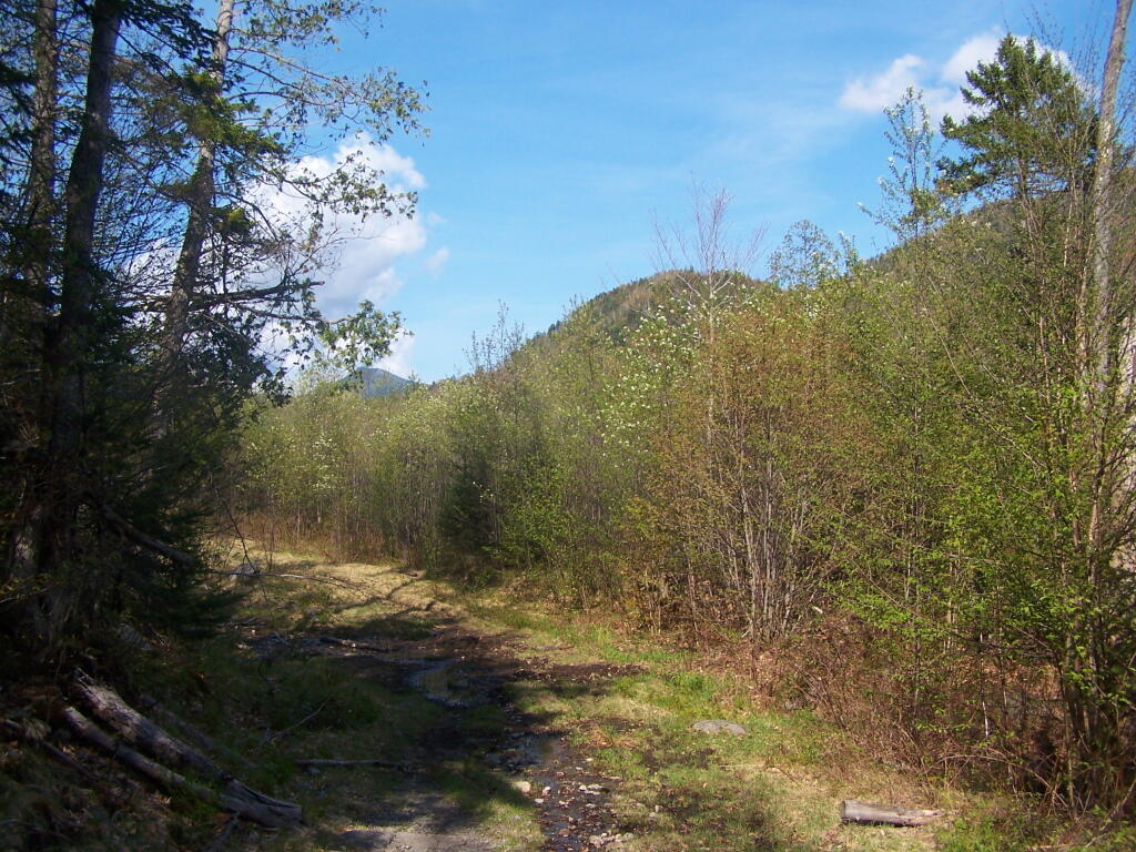
This picture gives you a more realistic view of what the tailings pile road looks like, when your not trying to make everything look all purty.
Saturday May 21, 2011 — Tahawus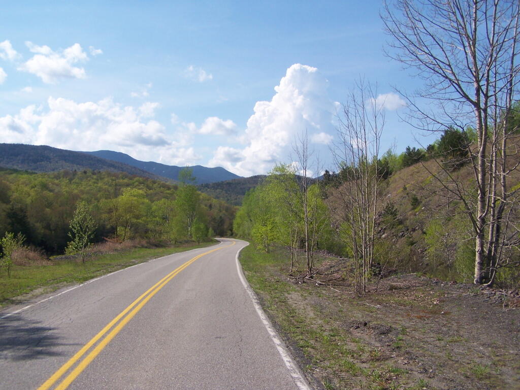

While most the Village of Adirondack Buildings have long since collapsed and been forgotten, this one Salt Box -- maybe the old School House, was preserved.
Saturday May 21, 2011 — Tahawus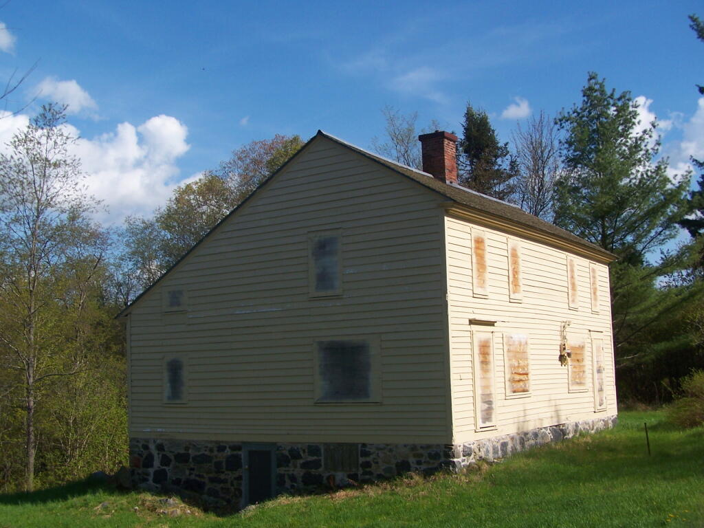

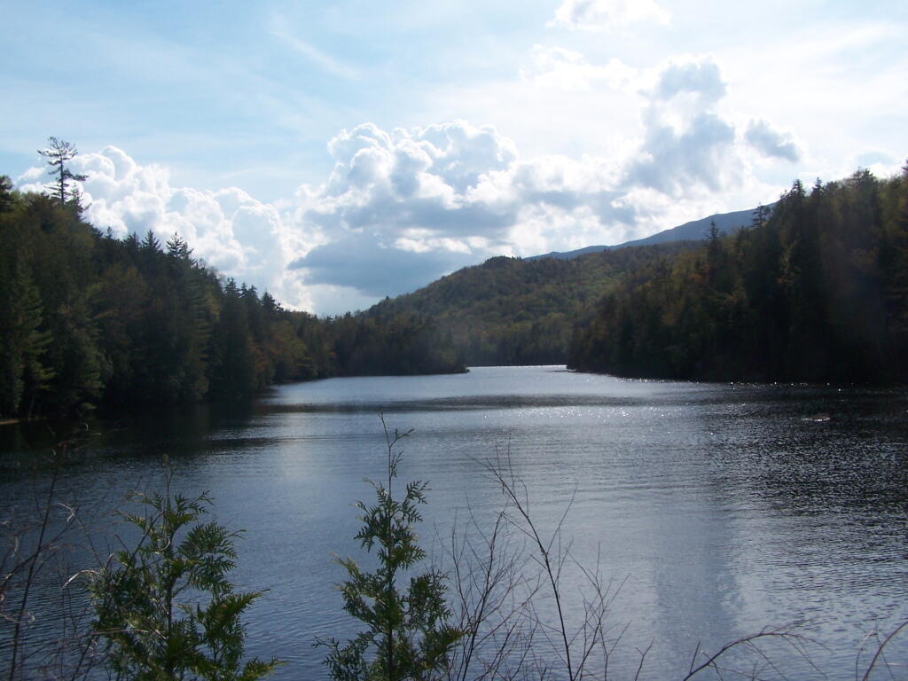
There is a 450 acre man-lake up at the Tahawus Tract, known as Henderson Lake, with campsites around it. It is where the Hudson River has been damed up.
Saturday May 21, 2011 — Tahawus