Hammond Pond 📍

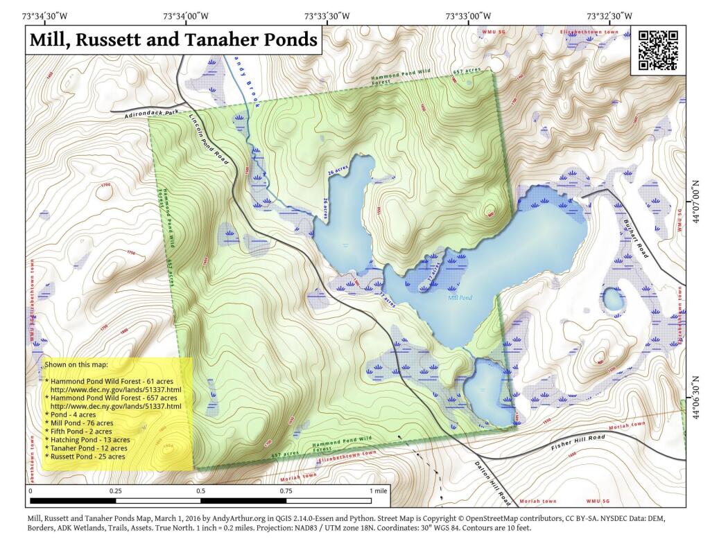
The Hammond Pond Wild Forest is located in the northeastern Adirondacks and the Lake Champlain Basin of Essex County. There are approximately 40,036 acres in the unit, which is situated in the Towns of Crown Point, Elizabethtown, Moriah, North Hudson, Schroon, Ticonderoga, and Westport.

http://www.cnyhiking.com/HammondPondWildForest.htm

🗺️ Maps 🖼️ Photos
Map: Floodwood Pond Loop

Four Mile Meadow

The Adirondack Northway, and how it runs through Four Mile Meadow outside of Lincoln Pond in the Northeastern Adirondacks outside of Elizabethtown.
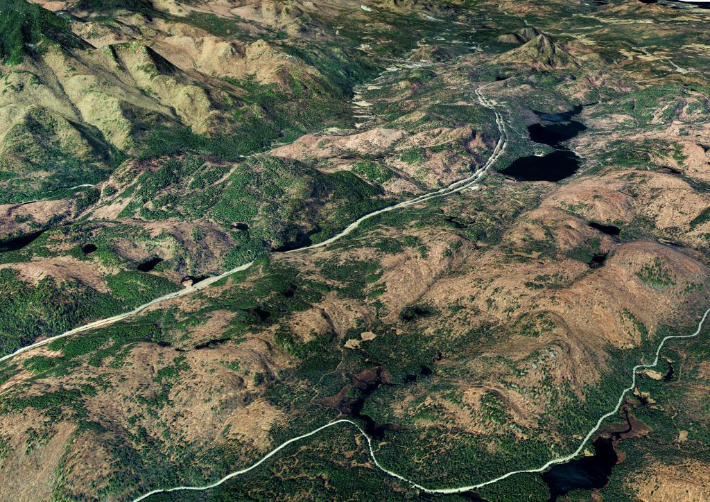
Four Mile Meadow

Thematic Map: Corning Tower Shadow
3D Map: Burnt-Rossman Hills State Forset

Four Mile Meadow, 1952 Before the Adirondack Northway

I have a bit of an obsession over Four Mile Meadow for many years now since my college days, which they ran the Adirondack Northway through. So I georeferenced an aerial photo from 1952 of the Four Mile Meadow on the MapWarper.

SVGZ Graphic: State Legislature Representation
Map: Jackson Hill State Forest
