
Delaware County 📍

Delaware County is a county located in the US state of New York. As of 2010 the population was 47,980.

Delaware County is located in the southern part of the state, separated from the state of Pennsylvania by the Delaware River. It is east of Binghamton and southwest of Albany. The county contains part of the Catskill Mountains. The county is within a region called the Southern Tier of New York State.

The highest point is an approximately 3,520-foot (1,073 m) summit of Bearpen Mountain along the Greene County line. The lowest point is along the Delaware River. The county is drained by the headwaters of the Delaware. It has a hilly surface, and the soil in the valleys is exceedingly fertile. The Delaware and Susquehanna rivers are here navigable by boats.

http://en.wikipedia.org/wiki/Delaware_County,_New_York

🗺️ Maps 🖼️ Photos
Terrain Map: Mahanoy Mountain

Gap Between Mooreville Range and Irish Mountain

I've always liked driving through that narrow gap that US 30 runs between the Mooreville Range and Irish Mountain in the Catskills. There is a rail trail there, which I tell myself one of these times I should explore, maybe while also camping at Burnt Rossman Hills State Forest.

Map: Lester Flow
Map: Green Mountain National Forest North

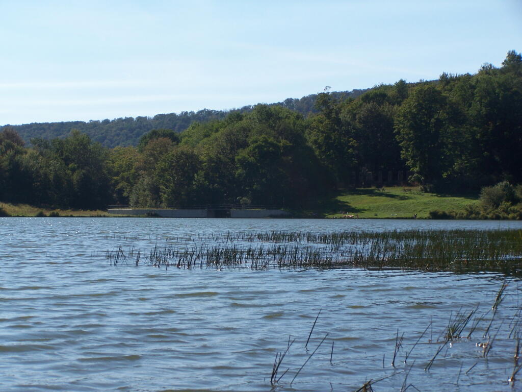
Heading Back Towards Alder Lake Dam

The dam is a pretty white cement. I do not know how old it is, but it may date to prior it being a Boy Scout camp, and may have been done that color to be nicer looking for the Alder Lake Lodge.

Sunday August 29, 2010 — Balsam Lake Mountain Wild ForestAlder Lake - Millbrook Range 🗺Alder Lake Campsites 🗺Balsam Lake Mountain Trail 🗺Kelly Hollow Trail 🗺Mongaup Hardenburg Trail 🗺PDF with All Maps 📚
Map: Meco Lake Trail (Piseco-Powley Road)

Cannonville 1944

Topographic overlay before the Cannonville Reservior was built. 

Map: Meco Lake Trail (Piseco-Powley Road)