
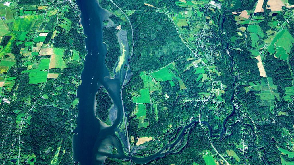
Chazy 📍

🖼️ Photos
Map: Green Mountain National Forest North
Terrain Map: Stockport Middle Island and Gay’s Point

High Water Mark on Long Point

This shows what the lake was at when it was at it's high point earlier this spring, some 10 feet higher then where it is now -- which is still pretty high.

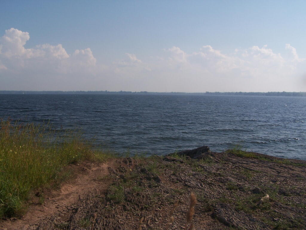
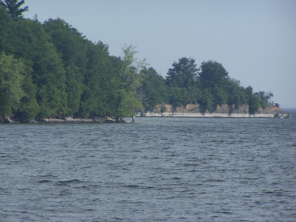
Sunday July 3, 2011 — Point Au Roche
Map: Severence Hill Trail
SVGZ Graphic: States Ranked by Happiness
Map: Empire State Topography