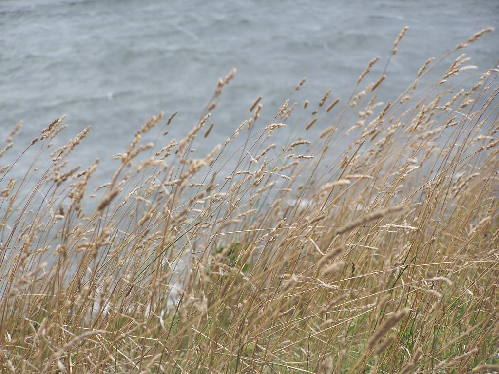
Wild Timothy Grasses
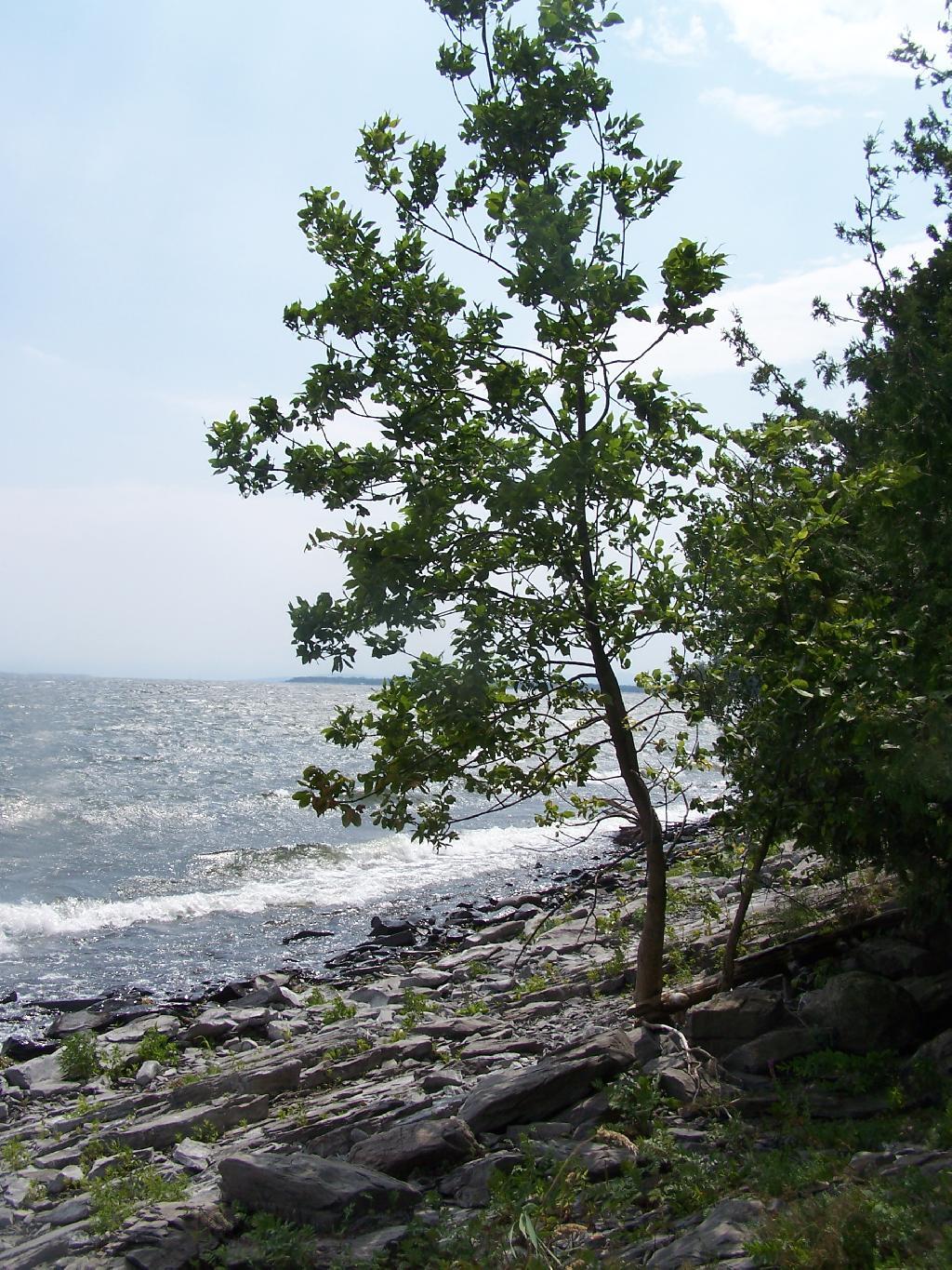
On the End of Short Point, looking over Lake Champlain.
Sunday August 15, 2010 — Point Au Roche

On the End of Short Point, looking over Lake Champlain.
Sunday August 15, 2010 — Point Au Roche

Looking off Short Point. You can just barely make out the wind turbines up on Rand Hill/Pine Ridge to the west.
Sunday August 15, 2010 — Point Au Roche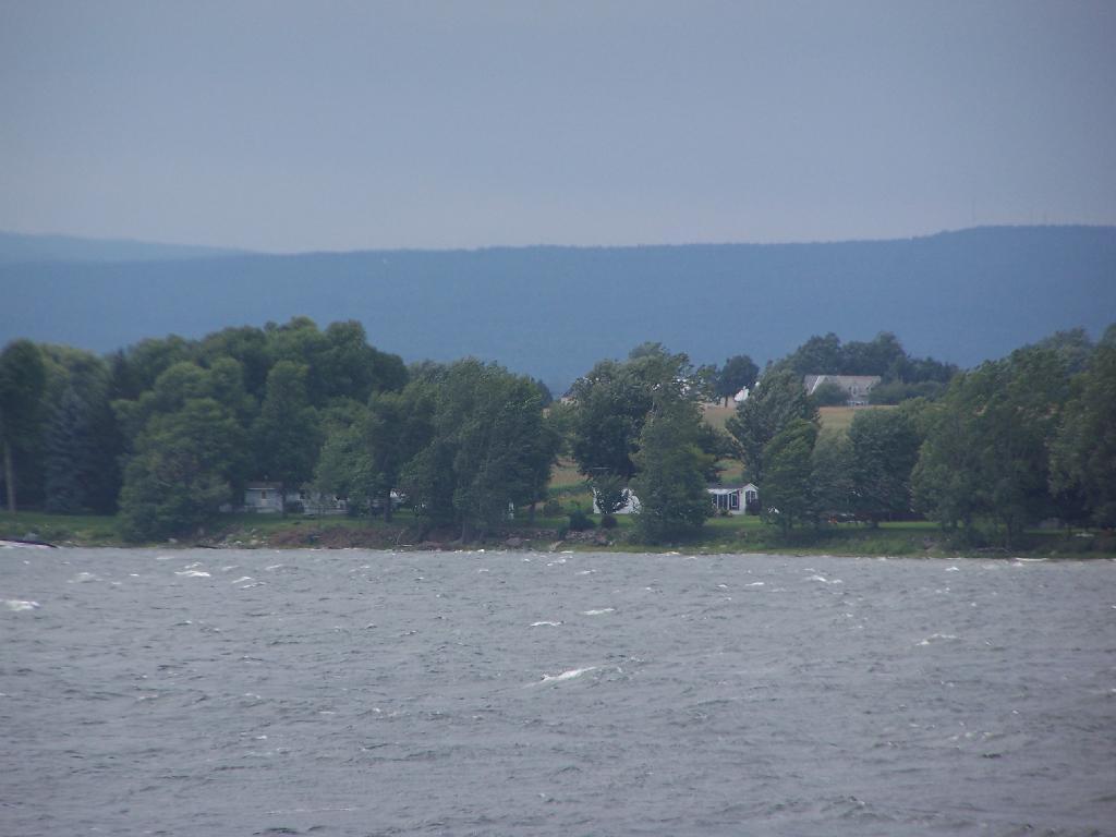

In the distance in Grand Isle Vermont.
Sunday August 15, 2010 — Point Au Roche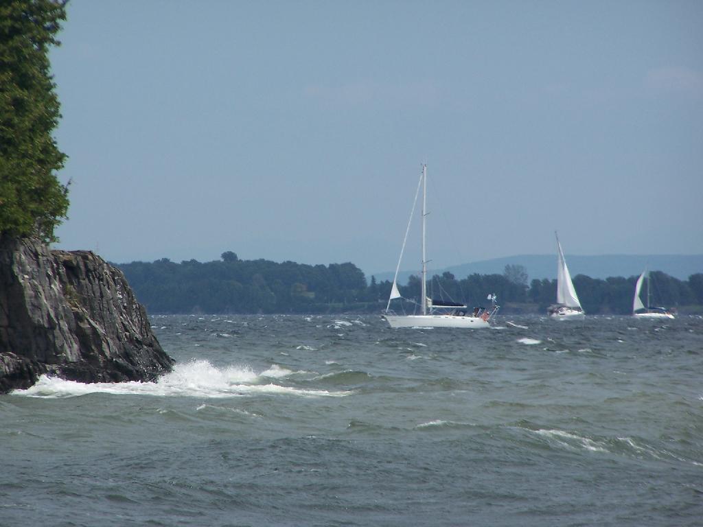

I was just up on that rock ledge, overlooking Lake Champlain.
Sunday August 15, 2010 — Point Au Roche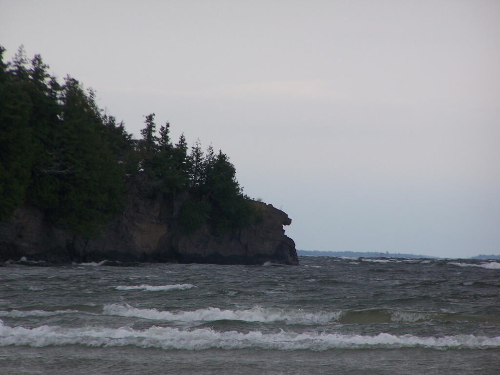

Just looking at this picture reminds me of the simple beauty of Point Au Roche and the days I would spend in college exploring this amazing area.
Sunday August 15, 2010 — Point Au Roche