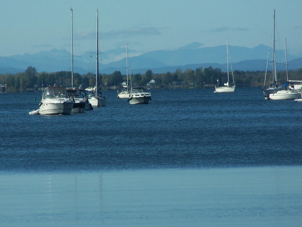
Boats as Seen from Rocky Point


The silos of Deyo Dairy, Rand Hill, and lands of Beekmantown in the distance.
Sunday August 15, 2010 — Point Au Roche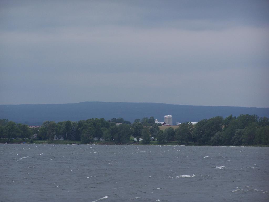

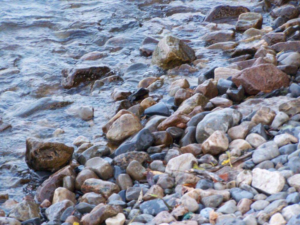

Along a gravel trail heading out along Conner Bay. I wanted to put a kayak out on Connor Bay, but it was much too rough.
Sunday August 15, 2010 — Point Au Roche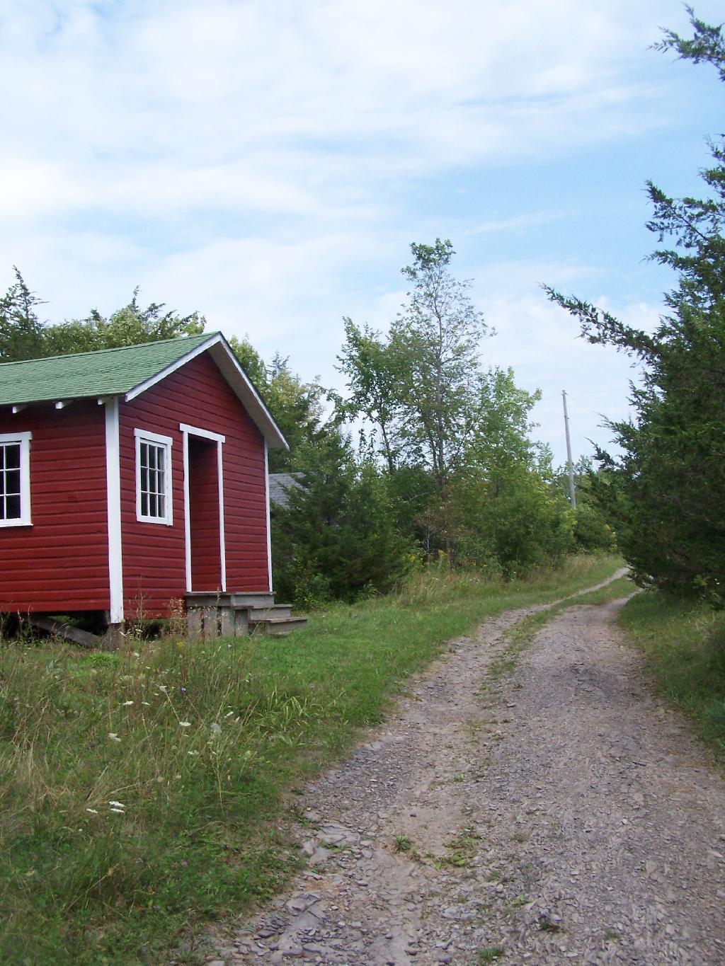

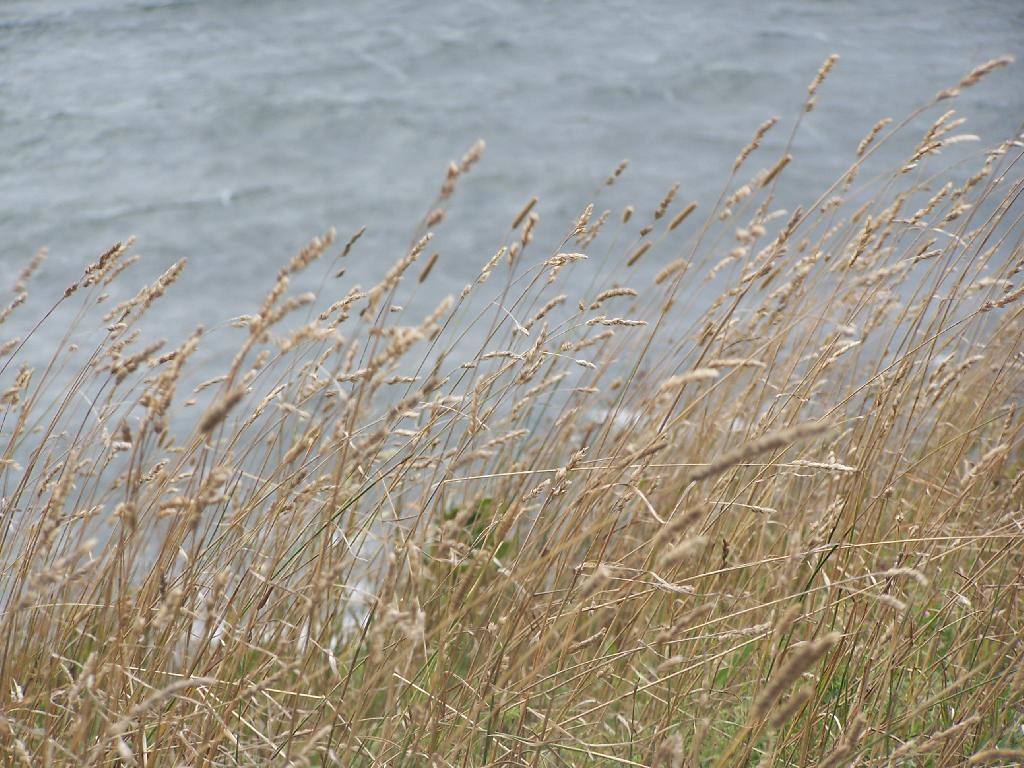
On the End of Short Point, looking over Lake Champlain.
Sunday August 15, 2010 — Point Au Roche