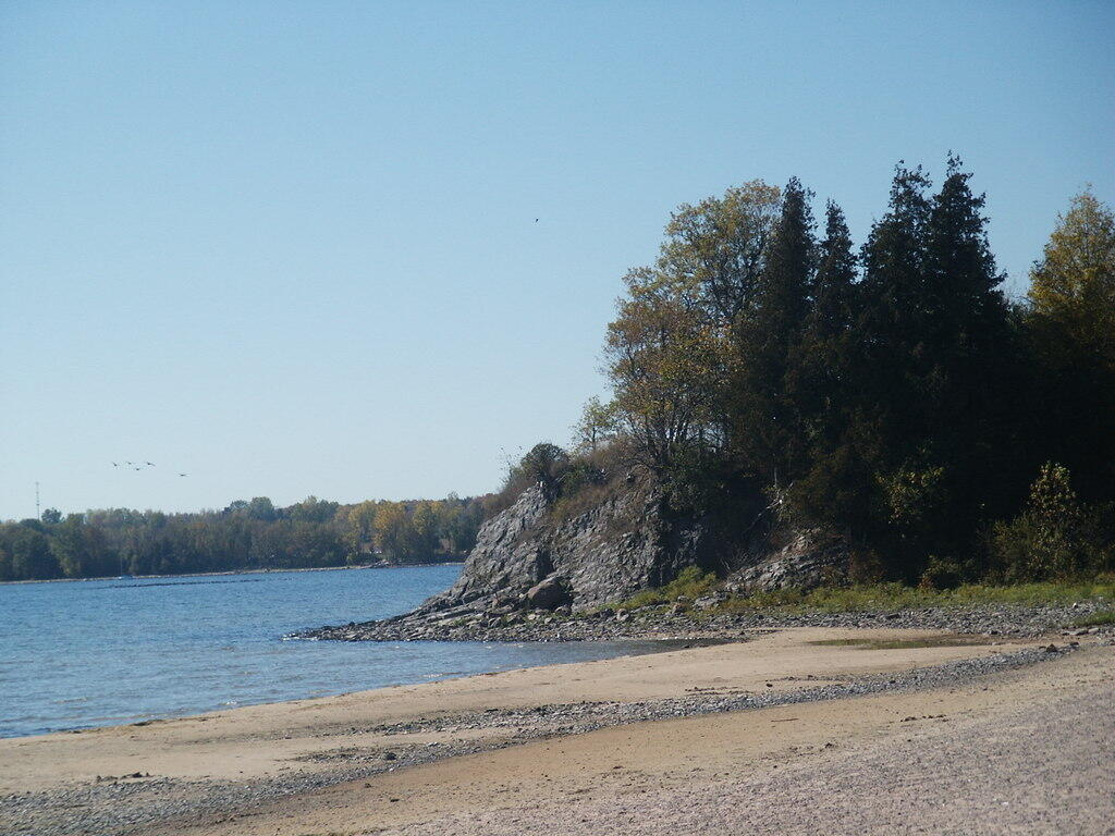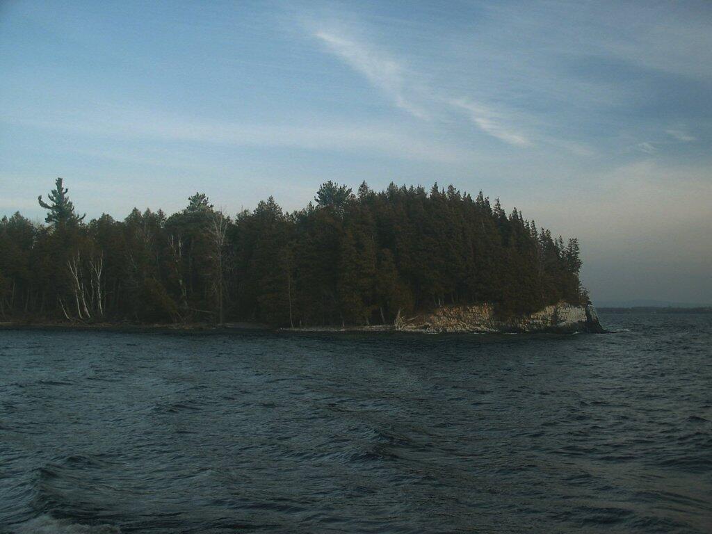
Long Point

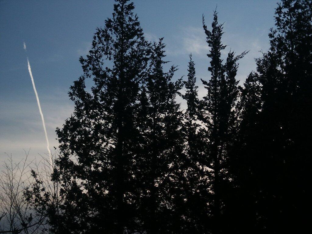
These are tree at Point Au Rouche, just north of Plattsburgh. The sun has set and the silhouette of the trees provide a perfect backdrop to even the sky which is now dominated by man in the form of jets leaving the Plattsburgh Municipal Airport.
Wednesday December 13, 2006 — Point Au Roche