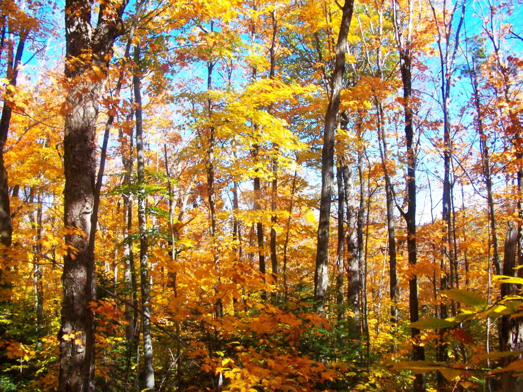
Maples Along Trail


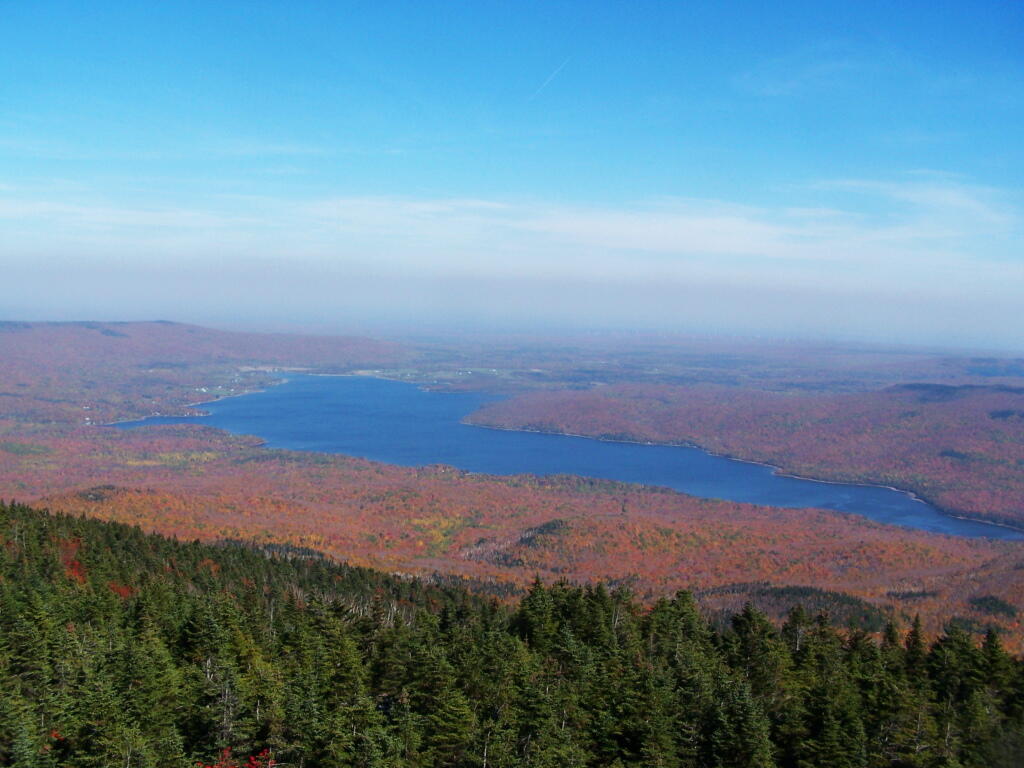
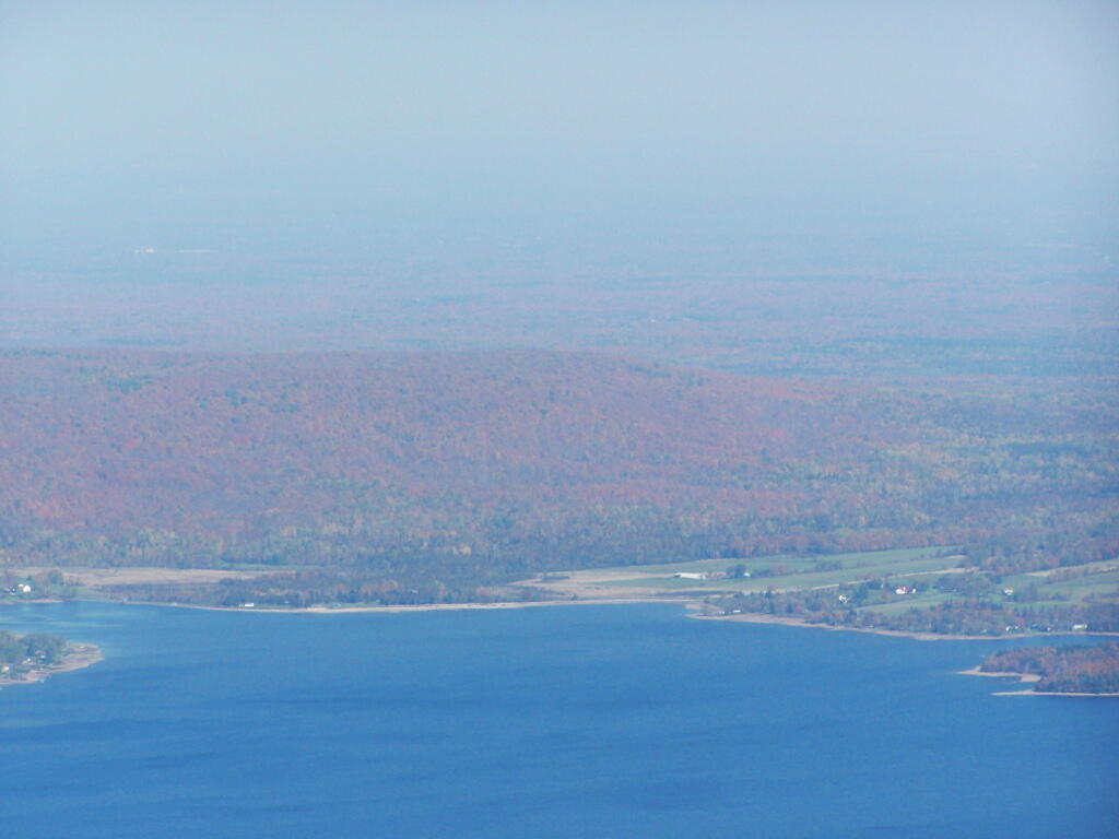
There is some land of temperate climate along Lake Chazy to allow some agricultural activity, despite the fact Altona is largely lacks farms.
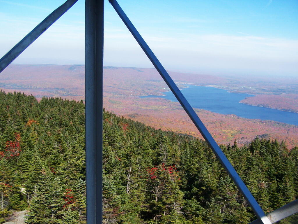
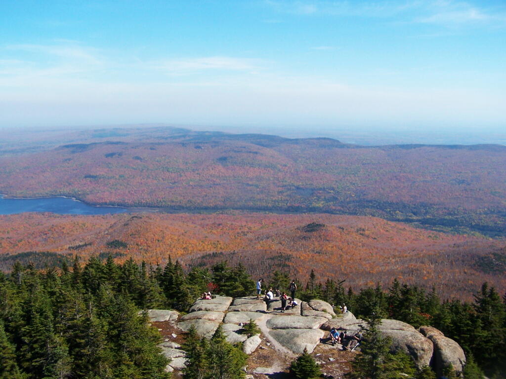
Sunday October 9, 2011 — Lyon Mountain — Lyon Mountain Fire Tower 🗺