Mountains 📍

Looking Back at 2011 in Photos

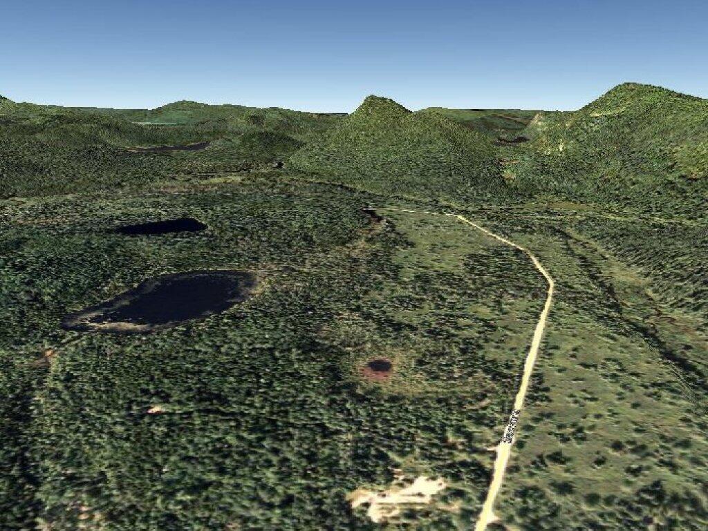
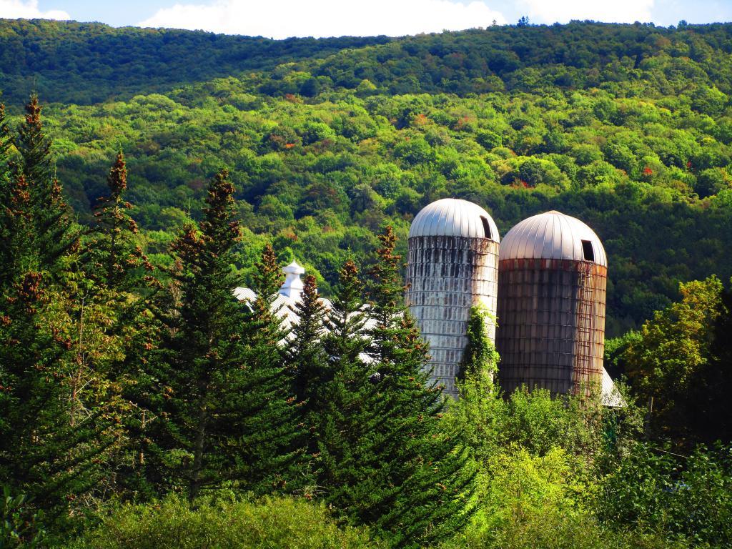
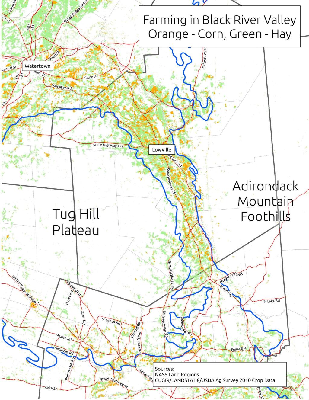
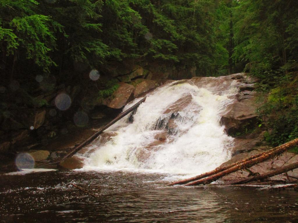
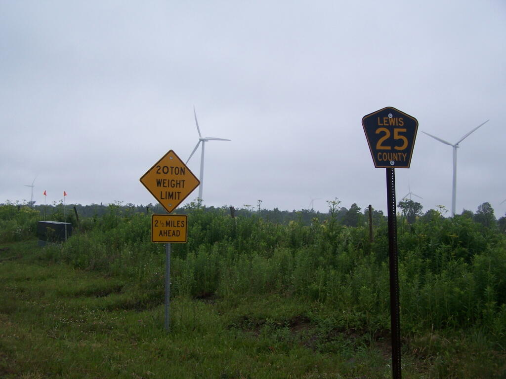
Today will take a look back at Year of 2011 in photos. Next week, I plan on doing an article featuring the Best of Photos of 2011. UNIX_TIMESTAMP(‘2011-1-1’) AND `date` < UNIX_TIMESTAMP('2012-1-1') ORDER BY `date` ASC"; $query = mysql_query("$sql"); while ($series = mysql_fetch_assoc($query) ) { $date = strtotime($series['dated']); if ($prevdate != date('F', $date) ) { echo '

‘.date(‘F Y’, $date).’.

‘;
$min = strtotime( date(‘F 1, Y’, $date) );
$max = strtotime( date(‘F t, Y’, $date).’ 11:59 AM’);

$sql = “SELECT `phototypes`.`filename` AS ‘type’, `photos`.`filename` FROM `photos`,`phototypes` WHERE `photos`.`typeid` = `phototypes`.`id` AND `date` > $min AND `date` < $max AND `phototypes`.`filename` NOT LIKE 'maps%' ORDER BY rand() LIMIT 1"; $pquery = mysql_query("$sql"); $photo = mysql_fetch_assoc($pquery); echo "

\n\n

“;

}

echo “{$series[‘title’]} / “.date(‘F j, Y’, $date).”
“;

$prevdate = date(‘F’, $date);

}

?>

20 Newest Maps

This an automagically generated list of recent the maps I’ve uploaded to my blog. Click on map to display a high resolution version of the map for printing and download.

‘;

$sql = “SELECT `photos`.`id`
FROM `photos`, `phototypes`
WHERE `photos`.`typeid` = `phototypes`.`id`
AND `phototypes`.`filename` LIKE ‘maps%’
ORDER BY `photos`.`upload` DESC LIMIT 20”;

$query = mysql_query(“$sql”);

require_once(BLOG_ROOT.’/inc/textparse.php’);

while ($id = mysql_fetch_row($query) ) {

echo fodderPhoto($id[0]);

}
?>

Alphabetical List of Maps I’ve Posted to My Blog

This an automagically generated list of all of the maps I’ve uploaded to my blog. It is in alphabetical order, based on the name. Right now, there are maps on the blog. Click on the link to view the smaller version or high resolution version map.

“;
}

echo ‘‘.$map[‘title’].’ (‘.substr($map[‘typetitle’],6).’) – PreviewHigh Resolution‘.’
‘;

$prev = substr($map[‘title’],0,1);
}

?>

Private Forestland Not Farms

When I was younger I used to think of the Tug Hill Plateau as a vast agricultural region. It really isn’t. There are farms in Black River Valley, but not so much up on the Plateau, especially as you gain elevation.

Major Land Resource Regions

The signs going into Lewis County say “Adirondacks-Black River-Tug Hill”, and except for that relatively narrow band running along the Black River, Lewis County doesn’t have a lot of farming — much likes the rest of Tug Hill Plateau.

Lewis County: Tug Hill. Black River. Adirondacks.

An elevation map of NY shows that most of the Tug Hill Plateau is between 1,000-2,000 feet elevation, but that’s high enough in NY to make agriculture unprofitable in most of state due to short growing season.

Hot evening walking along the Catharine Creek Marsh

The Black River Valley, with it’s fertile soils notched between the Adirondack Foothills and Tug Hill Plateau make Lewis County a major agricultural producer, with 262 dairy farms, including some of the largest in state. The area around Lowville is excellent agriculturally, until you start back up in to the hills on both sides with their short growing seasons. Dairy farming makes up 20% of the land use in Lewis County (per 2010 USDA NASS), but almost all of that occurs in Black River Valley or slightly up the slopes of Tug Hill Plateau.

 Farming In Black River Valley: Narrow Band of Farms Between Tug Hill and Adirondack Foothills

In many ways the Tug Hill Plateau is a fascinating region of the state. Unlike the Adirondack Park, only a relatively small portion of it is publically owned. About 2/3rds of it is private timber lands, with rest being public lands. It lacks any major cities or population centers, much of it is roadless, or where roads exist, they primarily service hunting camps or timberlands.

Rainy Afternoon at Lower Tenant Falls

The remoteness of the Tug Hill Plateau remains a real fascination for me.

Maple Ridge Windfarm