Kayak the Hudson 📍

🖼️ Photos

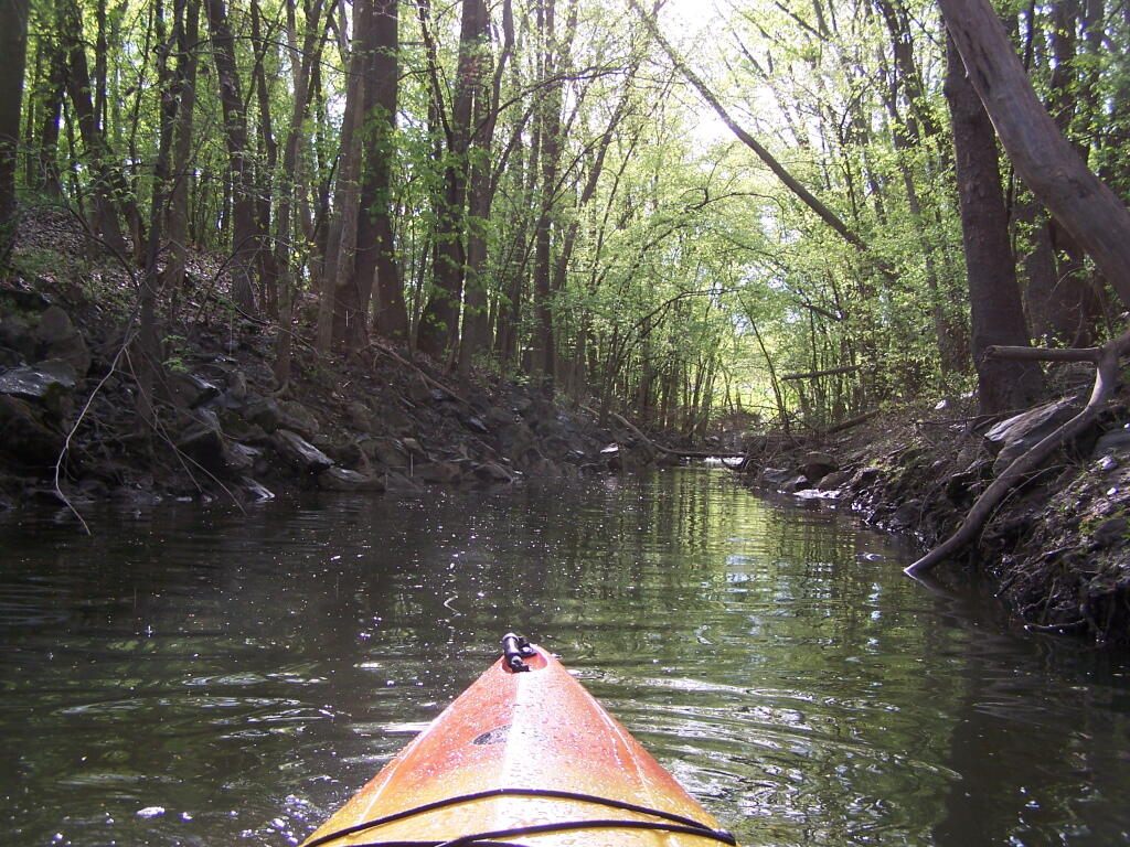
Creek Channel on Breaker Island

Most of this Creek Channel is buried, tunneled, or otherwise removed where I-787 comes through and covers much of the former Breaker Island along the Hudson River. Still it was pretty, as the rain stopped.

Saturday May 7, 2011 — Kayak the Hudson
Map: Severence Hill Trail

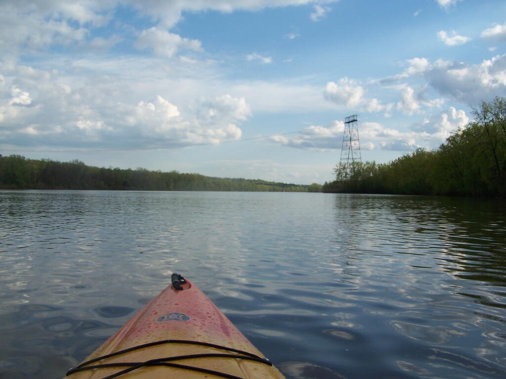
Power Lines Cross the Hudson River

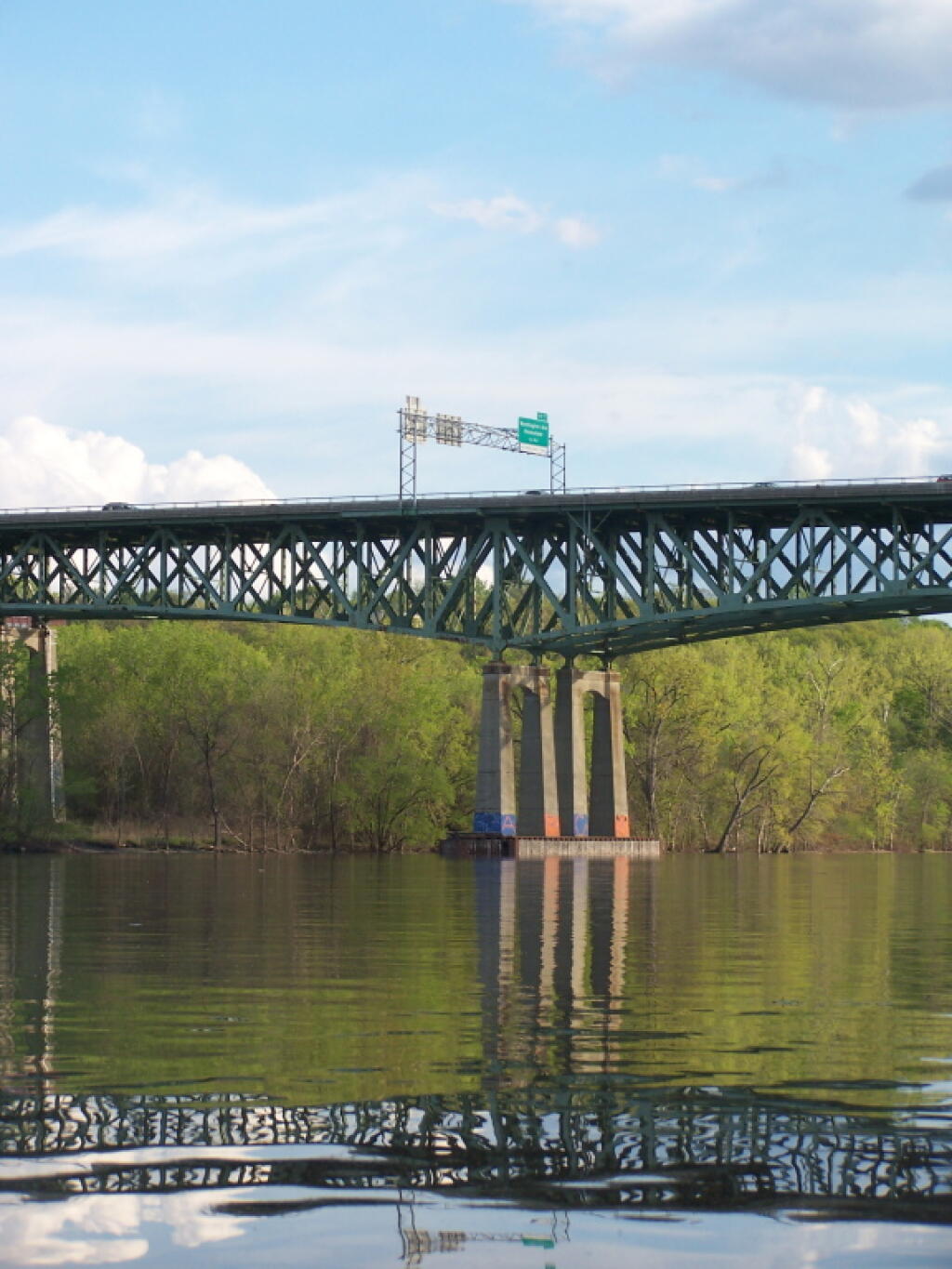
This section of the river is very scenic, with very few signs of how extremely urban the surrounding area really is. With the trees buffering I-787 from the road here, the only real non-natural noise was other boats on the river and a kid on a ATV, on the other side of the river, towards the North Rensselaer Sewage Treatment Plant.

Saturday May 7, 2011 — Kayak the Hudson
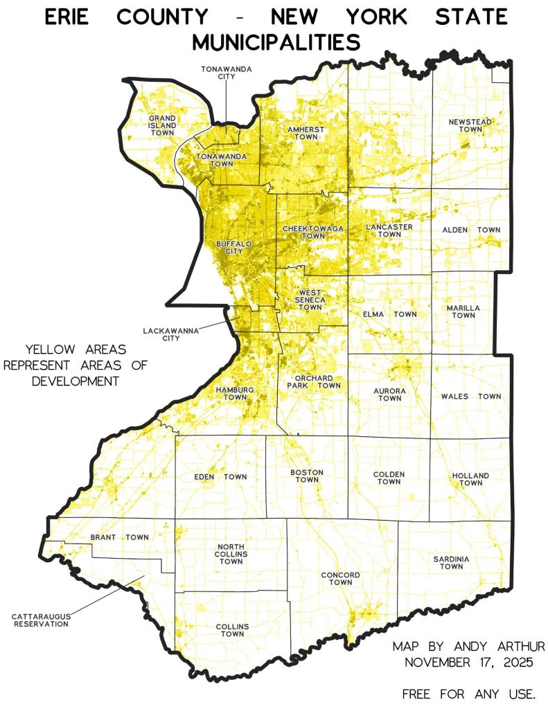
Thematic Map: Erie County - New York Municipalities

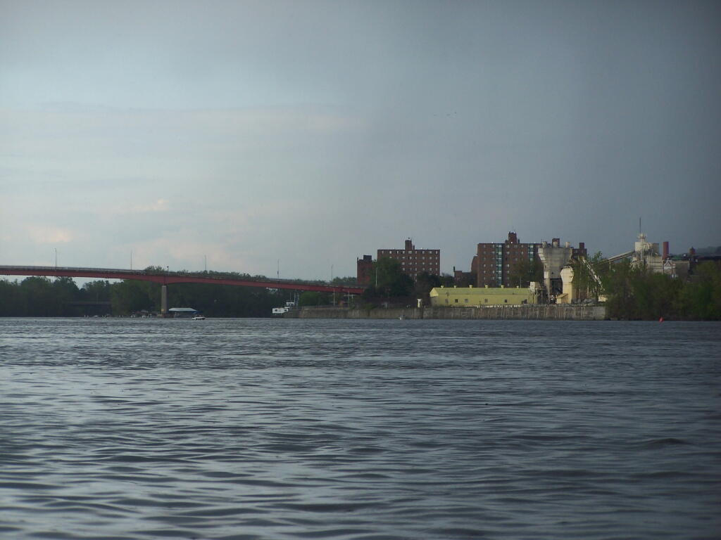
Troy from the Hudson River

After fighting some pretty strong winds, a severe thunderstorm threat, and some heavy rain, I finally made it to Troy. I was running a little late, so I decided not to paddle into Downtown Troy.

Saturday May 7, 2011 — Kayak the Hudson
Thematic Map: NYS DOT Regions
Terrain Map: Buildings Constructed in Capital Region, 2015-2020

Giant Refrigerator Building

This is the famous former refrigerated food rail building that burned last fall, that nobody seems to know what to do about. Also, notice the barge restaurant at the Corning Preserve.

Saturday May 7, 2011 — Kayak the Hudson
Map: Green Mountain National Forest North