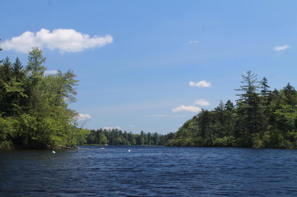
Beaver Dam At Hilldebrandt Vly
Hillabrandt Vly would be much less of a lake due to a failed man-made dam, if not for the busy work of local beavers.
Saturday May 11, 2019 — Ferris Lake Wild Forest — Crystal Lake And Glasgow Creek Trails 🗺 — Dexter Lake Trail 🗺 — Jerseyfield Lake Road Campsites 🗺 — Jerseyfield Road Campsites 🗺 — Spectacle Lake 🗺 — Spectacle Lake Trail 🗺 — Third Lake Trail 🗺— PDF with All Maps 📚Piseco-Powley Road Campsites with Coordinates 🏕
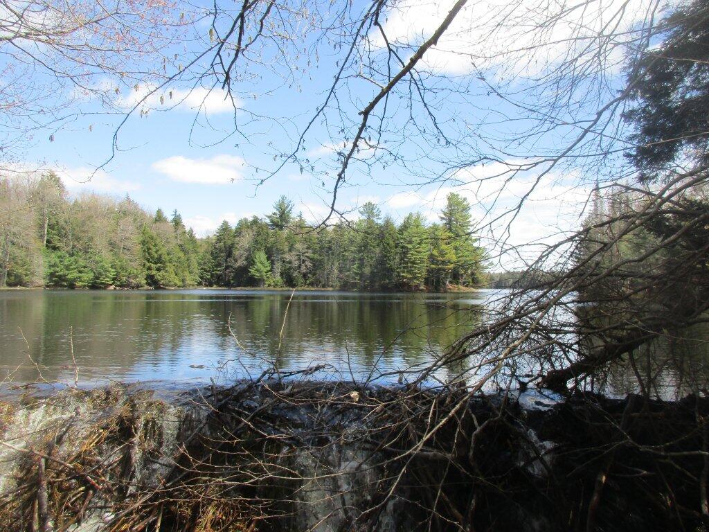
| Campsite Number | Coordinates |
| Powley Road 1 | 43.257679000292, -74.6546579993298 |
| Powley Road 2 | 43.2618319996081, -74.6576309995538 |
| Powley Road 3 | 43.2653270005404, -74.6590199996562 |
| Powley Road 4 | 43.2684300004067, -74.656309999605 |
| Powley Road 5 | 43.2842099995947, -74.6639000005312 |
| Powley Road 6 | 43.2938500003469, -74.6632000003539 |
| Powley Road 7 | 43.3063099990201, -74.6559599994858 |
| Powley Road 8 | 43.3096299997554, -74.6545400005429 |
| Powley Road 9 | 43.3114399994313, -74.6540200001228 |
| Powley Road 10 | 43.3131999999003, -74.6522999999772 |
| Powley Road 11 | 43.3133600001587, -74.6516100001711 |
| Powley Road 12 | 43.3134999997498, -74.6505500006577 |
| Powley Road 13 | 43.3248400003983, -74.6401100004743 |
| Powley Road 14 | 43.3285200003827, -74.6407799992244 |
| Powley Road 15 | 43.3494999998384, -74.6142799996817 |
| Powley Road 16 | 43.353350000549, -74.6019300002085 |
| Powley Road 17 | 43.359800000508, -74.592220000463 |
| Sand Lake | 43.3608505988663, -74.5751561268396 |
| Powley Road 18 | 43.36445000019, -74.5792399998495 |
Piseco-Powley Road
Piseco-Powley Road is an approximately 17-mile unpaved route through the Ferris Lake Wild Forest. It offers a remote, primitive experience with no cell service and limited amenities.
Campsites Along Piseco-Powley Road
There are approximately 18 primitive campsites scattered along the road.
- Characteristics: These are free, first-come, first-served sites. Most include a fire ring, and some feature a basic outhouse. Sites vary in size; some can accommodate trailers or small RVs up to 25 feet, while others are strictly for tent camping.
- Key Locations:
- “Oregon” Area: Located around mile 6.35, this area near East Canada Creek is one of the most popular for camping due to its scenic water access.
- The Potholers: Near mile 8.2, there are well-used sites overlooking the confluence of Brayhouse Brook and East Canada Creek.
- Powley Place: Located around mile 10.9, this historic area features several campsites near a bridge over the West Branch of East Canada Creek.
- Sand Lake: Near the northern end (mile 17.1), campsites are located close to the trail leading to Sand Lake.
Nearby Trails and Activities
The area is a hub for low-impact recreation and exploring old-growth forests.
- Hiking Trails:
- The Potholers: A very short path (100–500 feet) leads to unique geological water formations and small waterfalls on East Canada Creek.
- Big Alderbed Lake Trail: A 3.1-mile (one-way) trail starting near Powley Place that follows the creek to a remote lake.
- Goldmine Stream Falls: A 1.2-mile trail leading to a series of waterfalls.
- Clockmill Corners: A junction around mile 14.8 with trails leading to Clockmill Pond (1.1 miles) and Rock Lake (1.8 miles).
- Sand Lake Trail: A path at the northern end of the road leading to Sand Lake.
- Water Activities: East Canada Creek is a primary attraction for trout fishing, wading at the Potholers, and seasonal kayaking or canoeing.
- Winter Sports: The road serves as a major corridor for snowmobiling and is also used for cross-country skiing and snowshoeing when the gates are closed to motor vehicles.
- Hunting & Wildlife: The region is heavily used for hunting in the fall and offers opportunities to spot black bears, deer, and diverse birdlife.


