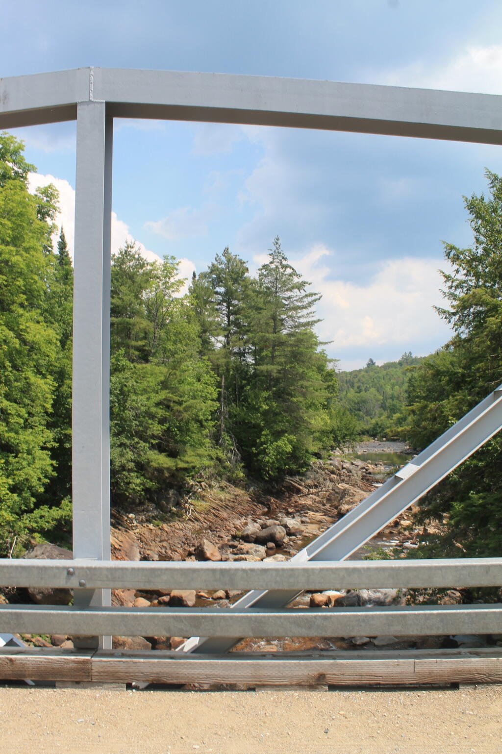
Truss and North

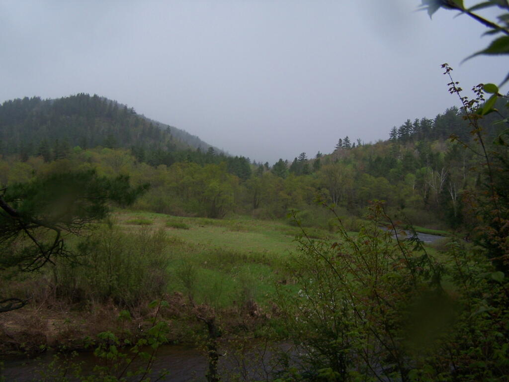
Some how a month makes everything look so different in the Adirondacks.
Saturday May 21, 2011 — East Branch Sacandaga River — Cod Pond Trailhead Camping Opporunities 🗺 — Eagle Pond Trail 🗺 — East Branch Gorge Trail 🗺 — East Branch Sacandaga River - NY 8 🗺 — Fox Lair Campsites 🗺— PDF with All Maps 📚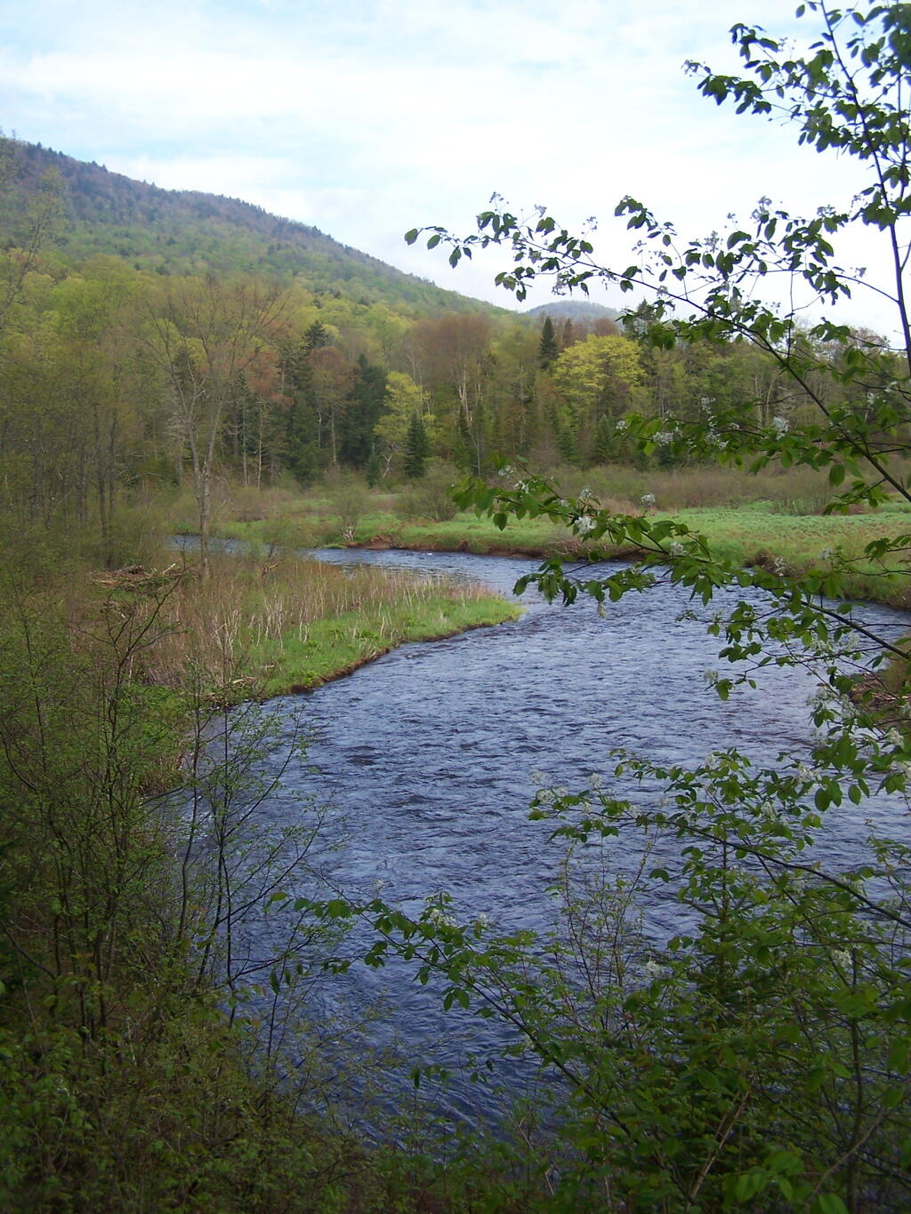

Only minutes before it starts to pour on out!
Saturday May 21, 2011 — East Branch Sacandaga River — Cod Pond Trailhead Camping Opporunities 🗺 — Eagle Pond Trail 🗺 — East Branch Gorge Trail 🗺 — East Branch Sacandaga River - NY 8 🗺 — Fox Lair Campsites 🗺— PDF with All Maps 📚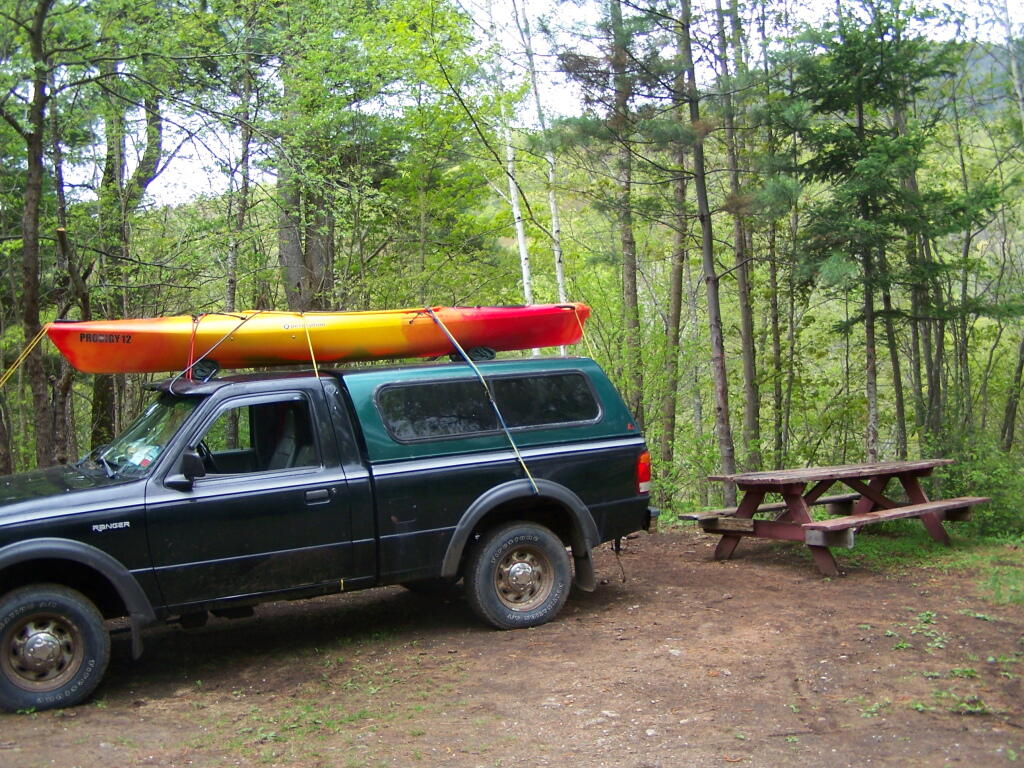


Time to get in the truck, stay dry, and head over to Vanderwhacker Wild Forest.
Saturday May 21, 2011 — East Branch Sacandaga River — Cod Pond Trailhead Camping Opporunities 🗺 — Eagle Pond Trail 🗺 — East Branch Gorge Trail 🗺 — East Branch Sacandaga River - NY 8 🗺 — Fox Lair Campsites 🗺— PDF with All Maps 📚