Cattaraugus County 📍

Cattaraugus County is a county located in the U.S. state of New York. As of the 2010 census, the population was 80,317. The county seat is Little Valley.

Cattaraugus County is in the southwestern part of the state, immediately north of the Pennsylvania border. The southern part of Cattaraugus County is the only area of western New York that was not covered by the last ice age glaciation and is noticeably more rugged than neighboring areas that had peaks rounded and valleys filled by the glacier. The entire area is actually a dissected plateau of Pennsylvanian and Mississippian age, but appears mountainous to the casual observer. The plateau is an extension of the Allegany Plateau from nearby Pennsylvania. Southern Cattaraugus County is part of the same oil field, and petroleum was formerly a resource of the area. It is now mostly played out, but natural gas continues to be extracted.


http://en.wikipedia.org/wiki/Cattaraugus_County,_New_York

🗺️ Maps
Map: Severence Hill Trail
Map: Grass River - Tooley Pond Area
Map: Lester Flow

Olean

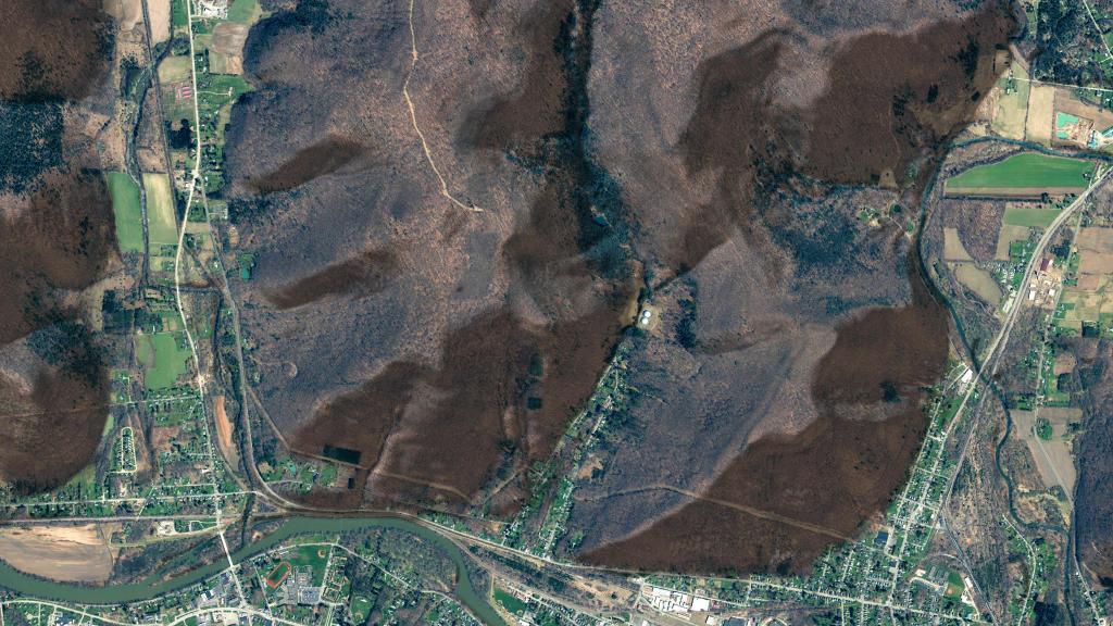
I was noticing how many solar facilities have popped up around Olean in recent years (2022 NAIP imagery).

Map: Normans Kill Ravines Preserve

Exploring the Zoar Valley Unique Area

Zoar Valley Unique Area is a large canyon was carved over millions of years by Cattaraugus Creek cutting through shale formations just west of Gowanada on the southern border of Erie County. It is famous for its towering 400-to-500-foot vertical cliffs, hidden waterfalls, old-growth forests, and rushing whitewater rapids of the Cattaraugus Creek.

Creekside Chairs

This ecologically sensitive area is open sunrise to sunset, with visitors prohibited from entering the fast-moving Cattaraugus Creek unless they are rafting or fishing due to risk of being swept downstream, especially in times of high water. Likewise, because the shale cliffs are highly unstable and prone to eroding or collapsing and to prevent erosion, people are prohibited from 15 feet of the cliff edges, except on official marked trails.

Feeling Small

Key Access Points & Trails

Due to the high cliff walls, there is only two access routes – the long abandoned Valentine Flats Road into the main gorge, and the Forty Road to the south gorge, where it dead ends.

  • Valentine Flats Area: Located at the end of Valentine Flats Road, this is the main gateway into the flats below. The trail here snakes down into the heart of the canyon right to the confluence of the Main and South branches of Cattaraugus Creek.
  • Forty Road Area: Located near the town of Persia, this spot features a wheelchair-accessible viewing platform located just 200 feet from the parking lot, offering stunning views of the south fork of the canyon.

 Zoar Valley Multiple Use Area

Ancient Forests & Wildlife

Zoar Valley is recognized as a premier conservation priority because it protects one of the last remaining old-growth forests east of the Mississippi River.

  • The Gallery of Giants: The bottomland of the canyon features some of the tallest trees in the entire Northeast, with species like American sycamores, tulip poplars, cottonwoods, and hemlocks exceeding 40 inches in diameter and soaring over 120 feet high. Some trees here have been core-dated to be 350 to 500 years old.
  • Wildlife: The valley acts as a natural wind thermal corridor. It is an excellent spot to view migratory raptors, American kestrels, red-bellied woodpeckers, and an increasing population of bald eagles nesting high along the rock faces.

Untitled

Recreational Activities

  • Hiking: Best done via the Valentine Flats Trail. Sturdy, water-resistant hiking boots are highly recommended due to the slippery rocks and shale. Careful around the steep cliffs.
  • Whitewater Rafting & Kayaking: Cattaraugus Creek offers some of the most thrilling and scenic paddling in the region during the high-water spring thaw. No swimming or wading is allowed unless fishing.
  • Fishing & Hunting: Anglers flock to the creek for seasonal steelhead trout, while the surrounding woods are open for big and small game hunting during New York state seasons.
Map: Trout Pond - Russell Brook Falls
Map: Downerville State Forest (Trails)