Cattaraugus County πŸ“

Cattaraugus County is a county located in the U.S. state of New York. As of the 2010 census, the population was 80,317. The county seat is Little Valley.

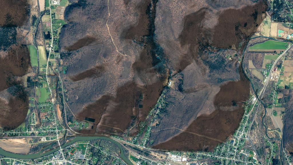
Cattaraugus County is in the southwestern part of the state, immediately north of the Pennsylvania border. The southern part of Cattaraugus County is the only area of western New York that was not covered by the last ice age glaciation and is noticeably more rugged than neighboring areas that had peaks rounded and valleys filled by the glacier. The entire area is actually a dissected plateau of Pennsylvanian and Mississippian age, but appears mountainous to the casual observer. The plateau is an extension of the Allegany Plateau from nearby Pennsylvania. Southern Cattaraugus County is part of the same oil field, and petroleum was formerly a resource of the area. It is now mostly played out, but natural gas continues to be extracted.

http://en.wikipedia.org/wiki/Cattaraugus_County,_New_York

Download the PDF Map Pack
πŸ—ΊοΈ Maps πŸ–ΌοΈ Photos
Map: Severence Hill Trail

Olean

I was noticing how many solar facilities have popped up around Olean in recent years (2022 NAIP imagery).

Map: Severence Hill Trail

Exploring the Zoar Valley Unique Area

Zoar Valley Unique Area is a large canyon was carved over millions of years by Cattaraugus Creek cutting through shale formations just west of Gowanada on the southern border of Erie County. It is famous for its towering 400-to-500-foot vertical cliffs, hidden waterfalls, old-growth forests, and rushing whitewater rapids of the Cattaraugus Creek.

Creekside Chairs

This ecologically sensitive area is open sunrise to sunset, with visitors prohibited from entering the fast-moving Cattaraugus Creek unless they are rafting or fishing due to risk of being swept downstream, especially in times of high water. Likewise, because the shale cliffs are highly unstable and prone to eroding or collapsing and to prevent erosion, people are prohibited from 15 feet of the cliff edges, except on official marked trails.

Feeling Small

Key Access Points & Trails

Due to the high cliff walls, there is only two access routes – the long abandoned Valentine Flats Road into the main gorge, and the Forty Road to the south gorge, where it dead ends.

  • Valentine Flats Area: Located at the end of Valentine Flats Road, this is the main gateway into the flats below. The trail here snakes down into the heart of the canyon right to the confluence of the Main and South branches of Cattaraugus Creek.
  • Forty Road Area: Located near the town of Persia, this spot features a wheelchair-accessible viewing platform located just 200 feet from the parking lot, offering stunning views of the south fork of the canyon.

 Zoar Valley Multiple Use Area

Ancient Forests & Wildlife

Zoar Valley is recognized as a premier conservation priority because it protects one of the last remaining old-growth forests east of the Mississippi River.

  • The Gallery of Giants: The bottomland of the canyon features some of the tallest trees in the entire Northeast, with species like American sycamores, tulip poplars, cottonwoods, and hemlocks exceeding 40 inches in diameter and soaring over 120 feet high. Some trees here have been core-dated to be 350 to 500 years old.
  • Wildlife: The valley acts as a natural wind thermal corridor. It is an excellent spot to view migratory raptors, American kestrels, red-bellied woodpeckers, and an increasing population of bald eagles nesting high along the rock faces.

Untitled

Recreational Activities

  • Hiking: Best done via the Valentine Flats Trail. Sturdy, water-resistant hiking boots are highly recommended due to the slippery rocks and shale. Careful around the steep cliffs.
  • Whitewater Rafting & Kayaking: Cattaraugus Creek offers some of the most thrilling and scenic paddling in the region during the high-water spring thaw. No swimming or wading is allowed unless fishing.
  • Fishing & Hunting: Anglers flock to the creek for seasonal steelhead trout, while the surrounding woods are open for big and small game hunting during New York state seasons.
SVGZ Graphic: How Does Population Density Impact Voting in Erie County?
SVGZ Graphic: 2022 NY 22nd Congressional District - Onondoga County

East Otto State Forest – Camping Information and Neary Activites

East Otto State Forest (also known as Cattaraugus Reforestation Area #15) is a 2,071 state forestarea located in Cattaraugus County, New York. Spanning the towns of Otto and East Otto, it features a rugged terrain filled with manmade ponds, young forest habitats, wetlands, and portions of Utley Brook and Cattaraugus Creek.

 East Otto State Forest

Camping Information

  • Designated Sites: There are 14 designated tent sites located along Kriedeman Forest Road. Each site features a primitive fire ring and is marked with a yellow camp disk.
  • Availability: Sites are first-come, first-served and often fill up during the busy summer months.
  • Backcountry Camping: Primitive camping is allowed anywhere in the forest as long as you are at least 150 feet away from water bodies, streams, roads, or trails.
  • Permits: You must obtain a permit from an NYSDEC Forest Ranger if you plan to stay more than three consecutive nights or if you are camping with a group of 10 or more people.
NameLatitudeLongitudeMap
Campsite 142.4295602020002-78.7784149811396https://geohack.toolforge.org/geohack.php?params=42.4295602020002_N_78.7784149811396_W
Campsite 242.4307519652347-78.7782919215534https://geohack.toolforge.org/geohack.php?params=42.4307519652347_N_78.7782919215534_W
Campsite 342.431524559488-78.7780726995501https://geohack.toolforge.org/geohack.php?params=42.431524559488_N_78.7780726995501_W
Campsite 442.4324681289091-78.7781294520017https://geohack.toolforge.org/geohack.php?params=42.4324681289091_N_78.7781294520017_W
Campsite 542.4335486532267-78.7782652857403https://geohack.toolforge.org/geohack.php?params=42.4335486532267_N_78.7782652857403_W
Campsite 642.4357482743409-78.7800957844707https://geohack.toolforge.org/geohack.php?params=42.4357482743409_N_78.7800957844707_W
Campsite 742.4377660186537-78.7812979870923https://geohack.toolforge.org/geohack.php?params=42.4377660186537_N_78.7812979870923_W
Campsite 842.4383072329201-78.7816779718089https://geohack.toolforge.org/geohack.php?params=42.4383072329201_N_78.7816779718089_W
Campsite 942.436631230133-78.7808244256261https://geohack.toolforge.org/geohack.php?params=42.436631230133_N_78.7808244256261_W
Campsite 1042.4367946855449-78.7872560580507https://geohack.toolforge.org/geohack.php?params=42.4367946855449_N_78.7872560580507_W
Campsite 1142.4368664107905-78.7887618241661https://geohack.toolforge.org/geohack.php?params=42.4368664107905_N_78.7887618241661_W
Campsite 1242.4399424606805-78.7928063223167https://geohack.toolforge.org/geohack.php?params=42.4399424606805_N_78.7928063223167_W
Campsite 13 – Walk In42.4411622819624-78.7935142373831https://geohack.toolforge.org/geohack.php?params=42.4411622819624_N_78.7935142373831_W
Campsite 14 – Walk In42.4349575281559-78.7863122506779https://geohack.toolforge.org/geohack.php?params=42.4349575281559_N_78.7863122506779_W
Creek Campsite42.4345283196279-78.7790841356231https://geohack.toolforge.org/geohack.php?params=42.4345283196279_N_78.7790841356231_W

Cold Wet Morning at East Otto State Forest

Top Recreational Activities

  • Hiking & Biking: There are no formally maintained trails on the property, but old logging skid trails and farm roads provide excellent opportunities to explore. The 2.4-mile East Otto State Forest Trail is a popular option utilizing these dirt roads.
  • Hunting & Trapping: The forest falls within Wildlife Management Units 9M and 9H. It is heavily used for tracking small and big game such as deer, rabbits, grouse, and wild turkey.
  • Fishing: Anglers frequently use Stickney Pond (located off Kriedeman Road) and Utley Brook to fish.
  • Winter Sports: Cross-country skiing and snowshoeing are permitted across all unplowed access roads and skid trails during the winter months.

Nearby Attractions

If you are planning a trip to the forest, there are several notable locations within a 30-minute drive:

  • Griffis Sculpture Park: A unique 450-acre outdoor art park showcasing over 250 massive steel structures scattered along woodland paths.
  • Zoar Valley Multiple Use Area: A breathtaking gorge system located just north of the state forest, famous for its dramatic cliffs and whitewater rafting.

Cattaraugus River

This photo shows the nearby Zoar Valley Unique Area. No camping is allowed in Zoar Valley, people often will camp at East Otto and then drive over to Zoar Valley.

Thematic Map: The Barns of Schoharie County
Thematic Map: Log Homes of Albany County

Olean

Olean is the largest city in Cattaraugus County and serves as its financial, business, transportation and entertainment center. It is one of the principal cities of the Southern Tier region of New York. It's population is 13,711 and is bordered by the Allegheny River to the south and Interstate 86, the Southern Tier Expressway to the north. The Olean Creek joins the Allegheny River in the city, and the hills surrounding the city are historical centers for oil production, although most of the wells are just stripper wells nowadays, producing a few barrels a day.

Ortho Olean

Terrain Map: Mahanoy Mountain