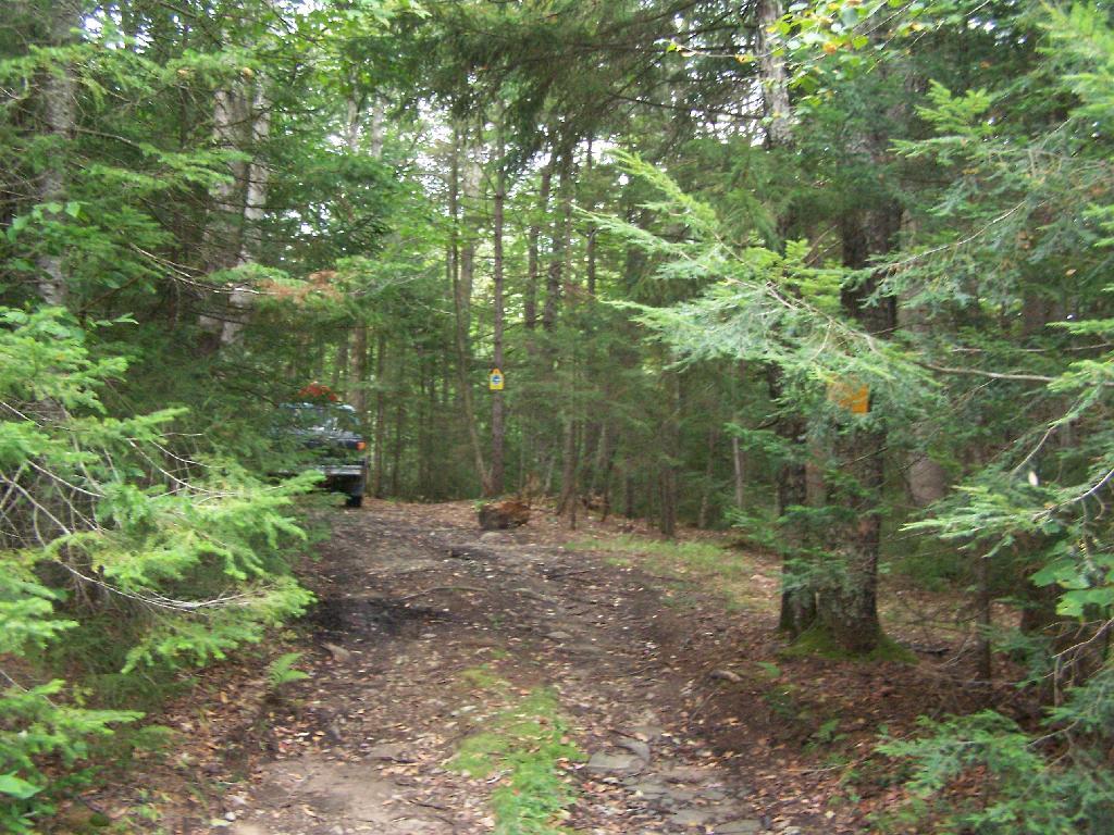
Campsite Set Back Off the Road  🖼️

Download a JPEG Image of the Campsite Set Back Off the Road.

Campsite Set Back Off the Road ...

Along Piseco-Powley Road there are no facilities at the campsites, simply places to pull off the road a little bit, to set up a tent or camp in your truck or RV or however you do it. Simple, but it works.

Taken on Monday September 6, 2010 at Piseco-Powley Road.

Map: Lake Moraine

More about Piseco-Powley Road...

The 17-mile Piseco-Powley Road is a remote dirt route cutting through the Adirondack's Ferris Lake Wild Forest. It features 22 primitive roadside campsites, including four spots at Powley Place where the road crosses the West Branch of the East Canada Creek.

Download the PDF Map Pack with All Maps from Piseco-Powley Road.

Map: Big Alderbed Lake Trail
Map: Clockmill Corners to NY 10
Map: Edick Road Swimming Hole
Map: Goldmine Stream Falls
Map: House Pond Trail
Map: Lower Powley Bridge to Sugarbush Mountain
Map: Meco Lake Trail (Piseco-Powley Road)
Map: Overview Map Piseco-Powley Road
Map: Piseco Road Swimming Holes
Map: Powley Place - East Canada Creek - Kayak Canoe
Map: Sand Lake
Map: Sand Lake Trail
Map: Sugarbush Mountain to Clockmill Corners
SVGZ Graphic: high-temp-ny [Expires June 19 2026]
Terrain Map: Juneteenth 2022 Weekend
Terrain Map: Powley Road
Photo: Grasses
Photo: Big Alderbed Mountain
Photo: Another Flag Pic
Photo: Upside Down
Photo: Making Breakfast
Photo: Heading Back to Camp
Photo: Looking Out My Back Door
Photo: Nice Campfire
Photo: Big Alderbed Mountain
Photo: Morning At Powley Place

Leave a Reply

Your email address will not be published. Required fields are marked *