Little Moose Lake 🗺️
About Little Moose Lake ....
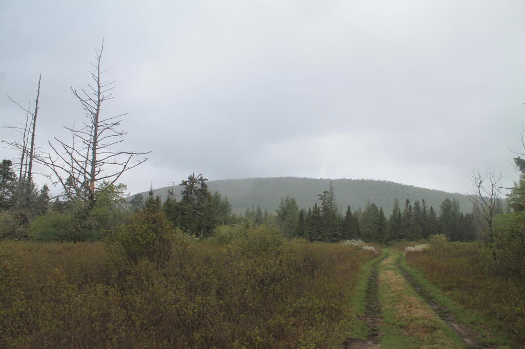
Little Moose Lake is a lake east-southeast of Old Forge in Herkimer County, New York. It drains south via Little Moose Outlet which flows into the South Branch Moose River. Panther Lake is located south of Little Moose Lake. It was privately owned until about 25 years ago. It is passed by the Wilson Ridge Trail, which runs south from the Cedar River - Limekiln Lake Road.

Helpful Hint: While I suggest you look on blog for a downloadable PDF Map, you should be able to print or save this map by clicking the print button on the map above.
Data Sources
Road Trip to Coal Country by Nate Matthews - You can download the KMZ File used in creation of this map.
USGS Aerial Imagery - Moderate-resolution, summer aerial photography from USGS. National Map. WMS Service: https://basemap.nationalmap.gov/arcgis/services/USGSImageryOnly/MapServer/WMSServer, Layer: 0
NYS Roads and Trails (Invert) - NYSDEC. Download KMZ File / Download GeoJSON File
ArcMap FeatureService: https://services6.arcgis.com/DZHaqZm9cxOD4CWM/ArcGIS/rest/services/DEC_Trails/FeatureServer/ Query: 0,1,2,3,4,5,6
Campsites in Backcountry (NY/PA/VT) - Shows location of campsites and lean-tos in New York State. Derived from NYSDEC's MMS, along with OpenStreetMap, various DEC Maps and heads-up locations added by Andy Arthur. NYSDEC MMS, OpenStreet Map (©CC-BY-SA), Andy Arthur. Download KMZ File.
3DEP Elevation Hillshade. LIDAR and legacy USGS DRG Topo Derived hillshades used as a background. DEM - WMS Service: https://elevation.nationalmap.gov/arcgis/services/3DEPElevation/ImageServer/WMSServer, Layer: 3DEPElevation:Hillshade Gray
Full List of WMS and ArcMap Services - CSV Spreadsheet with all web map services currently used on the blog.
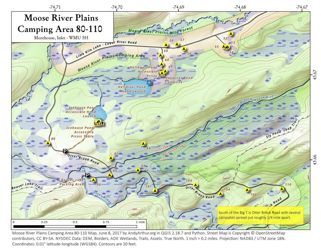
More about Moose River Plains...
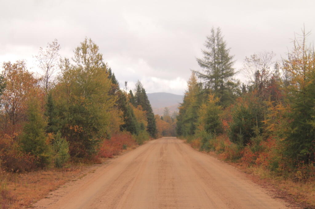
Spanning Herkimer and Hamilton Counties, the Moose River Plains Wild Forest offers an array of activities, including camping, hiking, mountain biking, fishing, hunting, and canoeing. Free campsites are accessible from late May to December's end. Winter highlights snowmobiling along the Limekiln Lake-Cedar River Road linking Inlet and Indian Lake. Must-visit spots encompass Cedar River Flow, Moose-spotting at Helldiver Pond, scenic Wakely Mountain with its firetower, as well as numerous smaller ponds and lesser-known trails. This diverse landscape caters to a range of outdoor pursuits, making it a year-round destination for nature enthusiasts and adventurers.
Download the PDF Map Pack with All Maps from Moose River Plains.