Moose Club Way – Vanderwhacker Road Campsites 🗺️
About Moose Club Way - Vanderwhacker Road Campsites ....
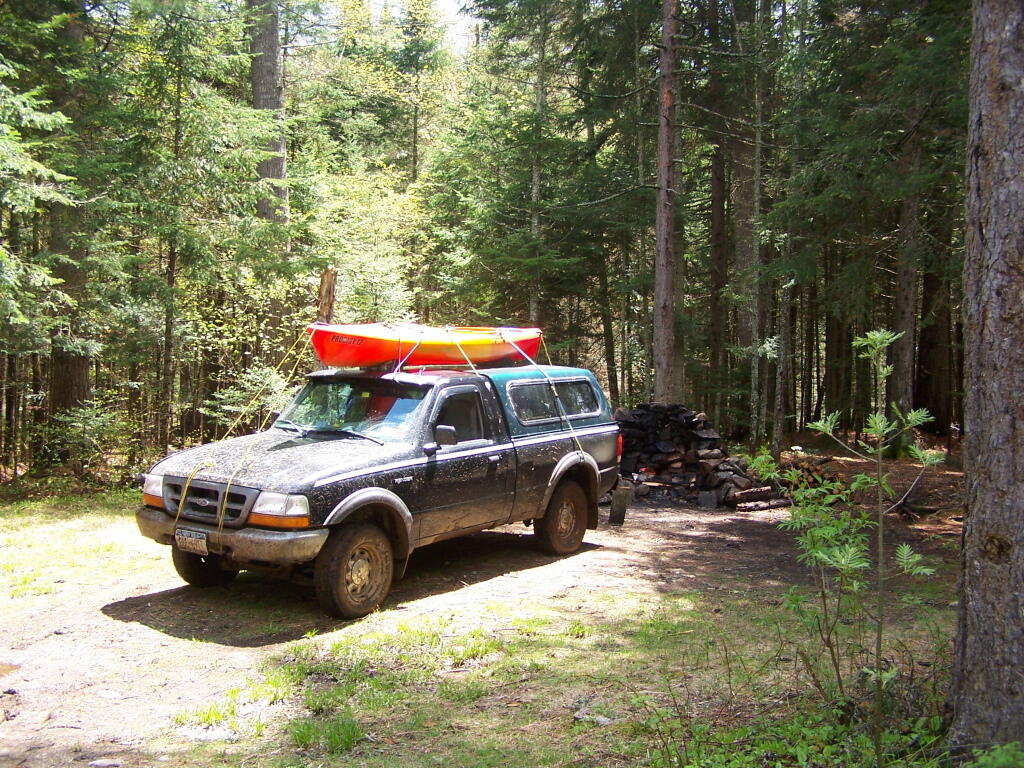
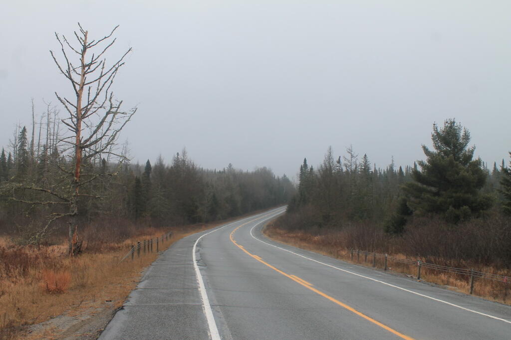
Roadside campsites along the Moose Club Way aka Vanderwhacker Road.

Helpful Hint: While I suggest you look on blog for a downloadable PDF Map, you should be able to print or save this map by clicking the print button on the map above.
Data Sources
Road Trip to Coal Country by Nate Matthews - You can download the KMZ File used in creation of this map.
OpenTopoMap - Open Topopgraphic Map based on Open Street Map. Contours are metric on this map. Map data: © OpenStreetMap, SRTM | Map style: © OpenTopoMap (CC-BY-SA). XYZ Tiles: https://{s}.tile.opentopomap.org/{z}/{x}/{y}.png
Campsites in Backcountry (NY/PA/VT) - Shows location of campsites and lean-tos in New York State. Derived from NYSDEC's MMS, along with OpenStreetMap, various DEC Maps and heads-up locations added by Andy Arthur. NYSDEC MMS, OpenStreet Map (©CC-BY-SA), Andy Arthur. Download KMZ File.
NYS Roads and Trails - NYSDEC. Download KMZ File / Download GeoJSON File
ArcMap FeatureService: https://services6.arcgis.com/DZHaqZm9cxOD4CWM/ArcGIS/rest/services/DEC_Trails/FeatureServer/ Query: 0,1,2,3,4,5,6
3DEP Elevation Hillshade. LIDAR and legacy USGS DRG Topo Derived hillshades used as a background. DEM - WMS Service: https://elevation.nationalmap.gov/arcgis/services/3DEPElevation/ImageServer/WMSServer, Layer: 3DEPElevation:Hillshade Gray
Full List of WMS and ArcMap Services - CSV Spreadsheet with all web map services currently used on the blog.
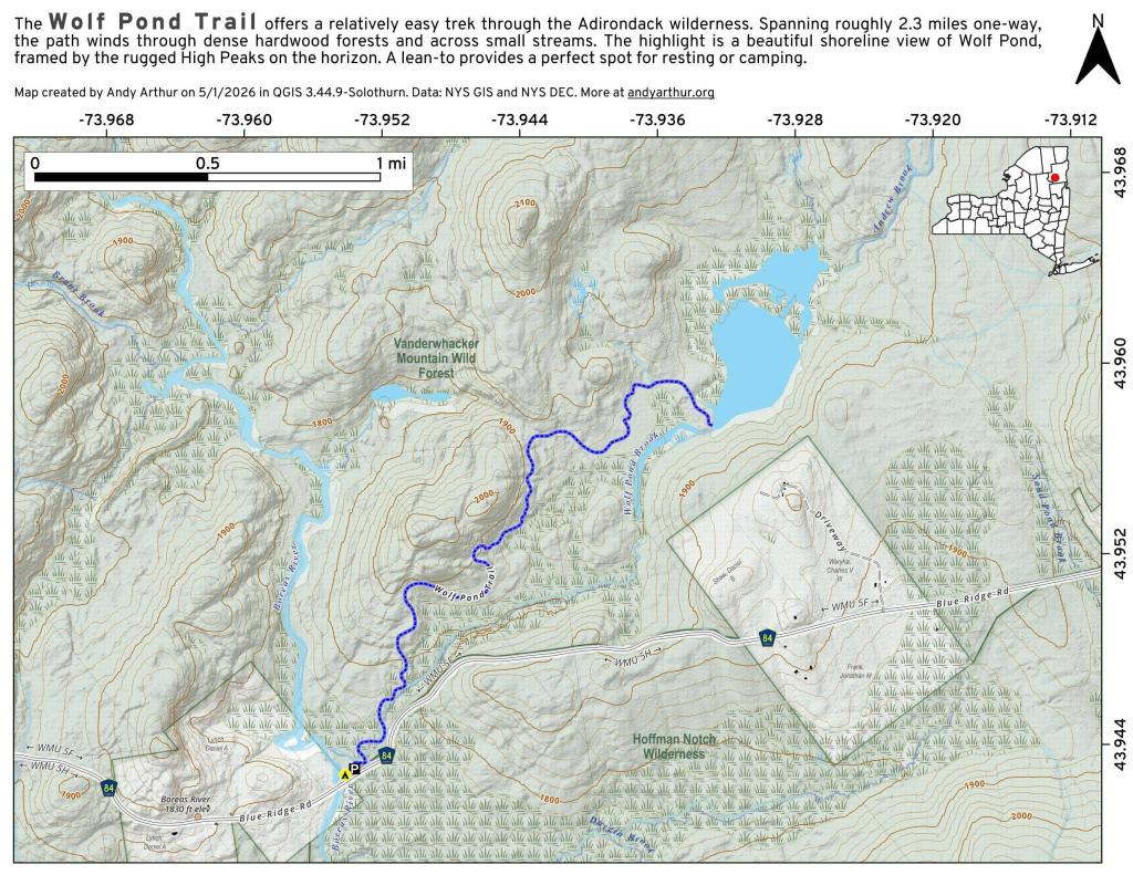
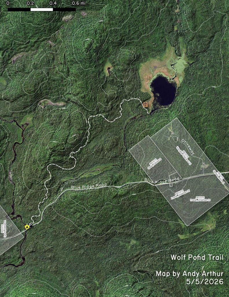
More about Vanderwhacker Mountain Wild Forest...
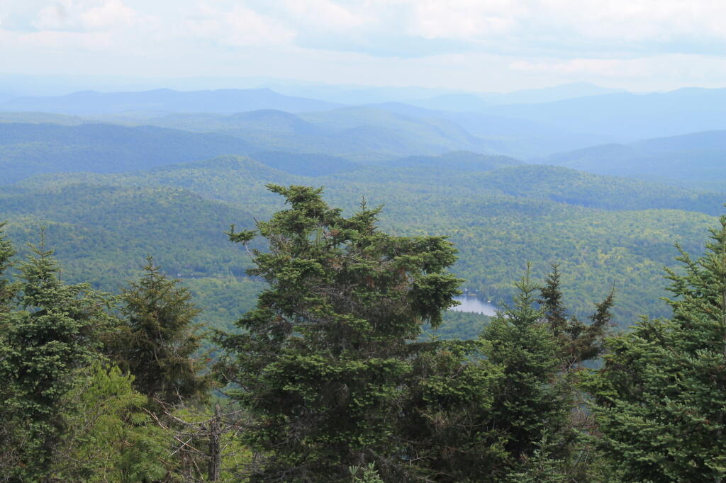
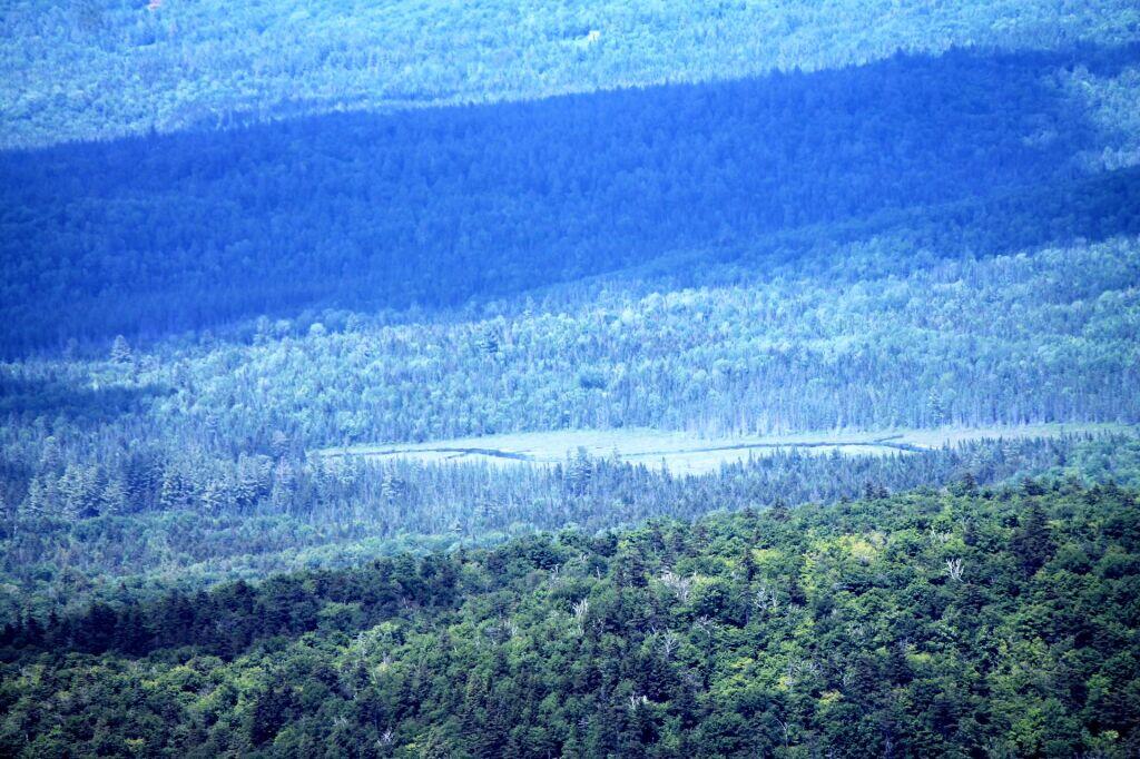
Vanderwhacker Mountain Wild Forest is a 91,854-acre public preserve in New York’s Adirondack Park. The diverse terrain features quiet lakes, vast wetlands, and rugged peaks. The highlight is the 3,386-foot Vanderwhacker Mountain, which features a restored fire tower offering panoramic views of the High Peaks. Visitors enjoy primitive camping, backcountry hiking, paddling, and snowmobiling. It provides a peaceful, less-crowded wilderness experience for outdoor enthusiasts seeking rugged Adirondack beauty.
Download the PDF Map Pack with All Maps from Vanderwhacker Mountain Wild Forest.