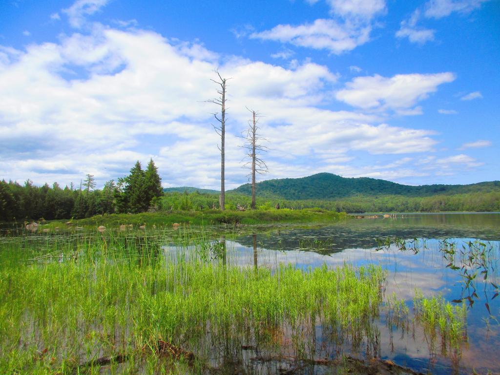
Wilcox Lake
Summer day at Wilcox Lake.
Saturday July 10, 2021 — Wilcox Lake — Huckleberry Mountain and Murphy Lake 🗺 — Wilcox Lake 🗺 — Wilcox Lake Via Harrisburg Road 🗺— PDF with All Maps 📚

Summer day at Wilcox Lake.
Saturday July 10, 2021 — Wilcox Lake — Huckleberry Mountain and Murphy Lake 🗺 — Wilcox Lake 🗺 — Wilcox Lake Via Harrisburg Road 🗺— PDF with All Maps 📚

Rushford Lake is a 585 acre man-made reservoir located in northwest Allegany County. The lake was built by Rochester Gas and Electric in the late 1920s for hydropower and then sold in 1981 to the Rushford Lake Recreational District, a governmental body created in 1981. The lake is drawn down about 40 feet each winter, which is why the shorelines are shown in the LiDAR hillshade.

I haven't camped up along Hope Falls Road in years, so it was nice to be back there.
Saturday July 10, 2021 — Wilcox Lake Wild Forest — Bartman Trail 🗺 — Cotter Brook Trail 🗺 — Coulumbe Creek Trail 🗺 — Harrisburg Roadside Camping 🗺 — Indian Pond Trail 🗺 — Oregon Trail 🗺 — Pine Orchard Trail 🗺 — Rome Wildlife Management Area 🗺 — Wilcox Lake - Willis Lake Trail 🗺 — Willis-Wilcox Lake Trail 🗺— PDF with All Maps 📚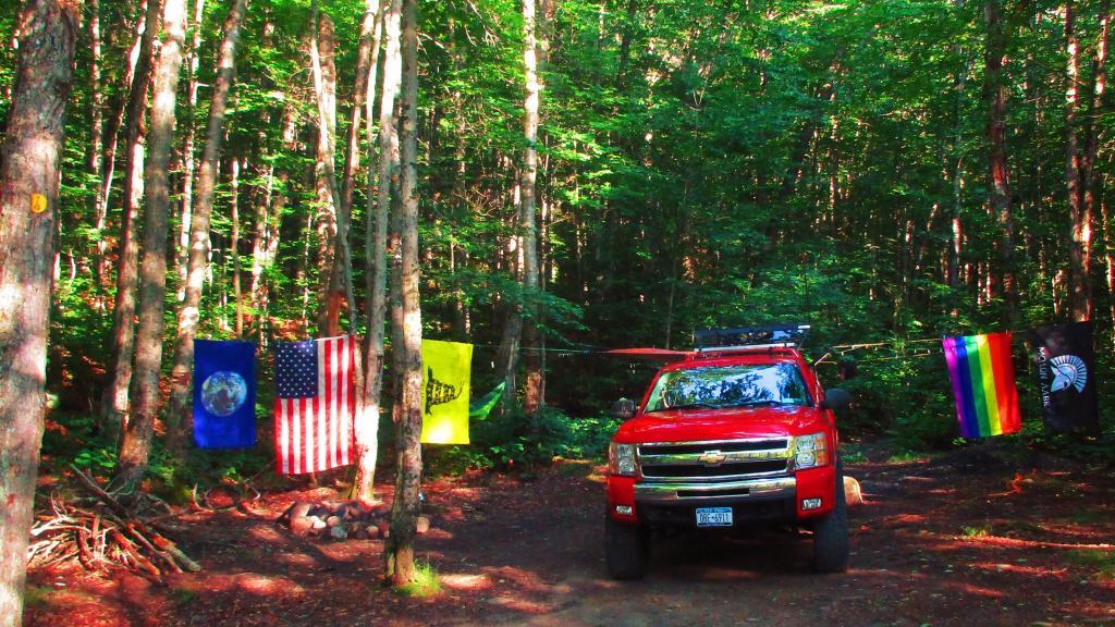

Tainter gates would be better if unpredictable heavy rains become more common during the navigation season and it’s necessary to adjust river levels on an emergency basis but bridge dams are better historically because they cause less problems with ice jams in the winter months as they typically have fewer piers. Tainter gates are generally more reliable. Bridge dams can’t be raised in an flooding emergency, causing flood waters to back up until the panels fail, although the design of bridge dams usually means during extreme flooding only the panels and maybe the panel frames are sacrificial.
