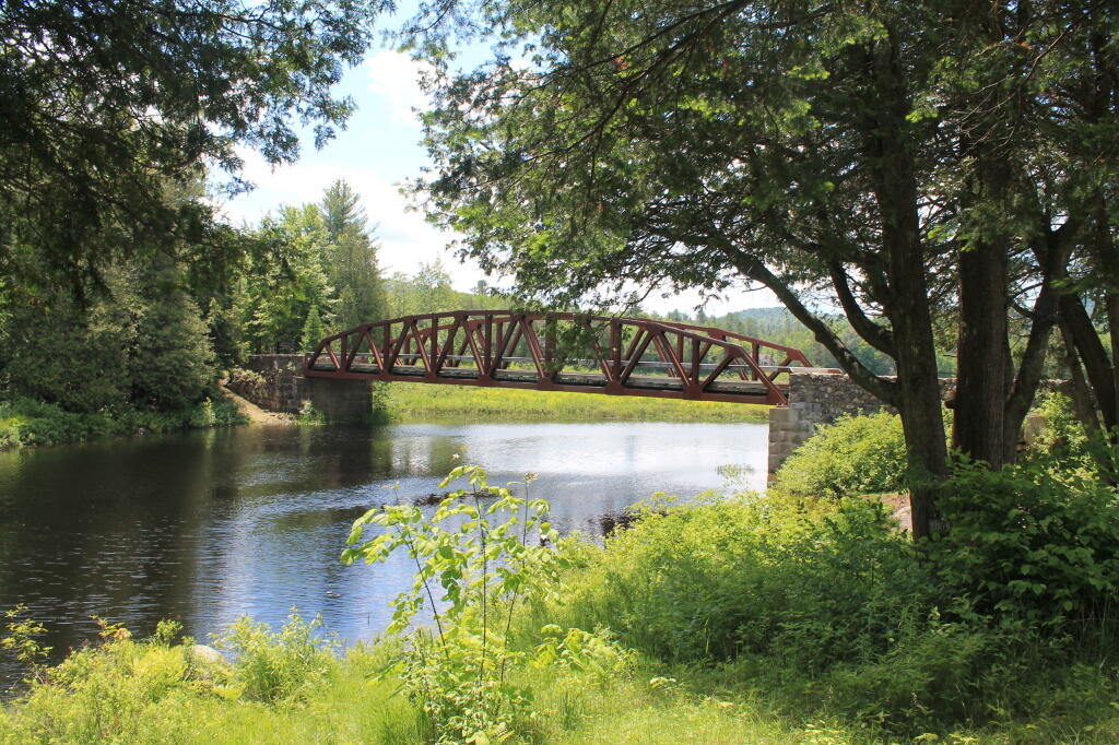
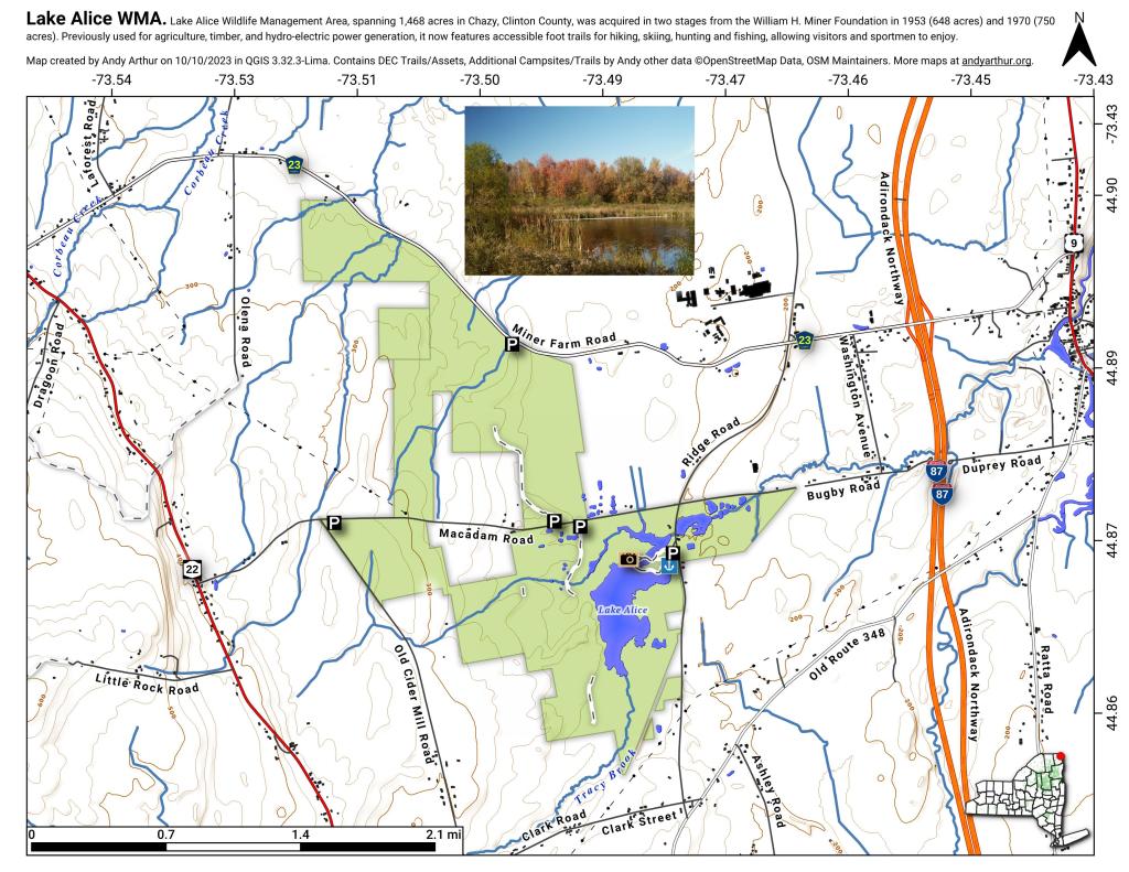
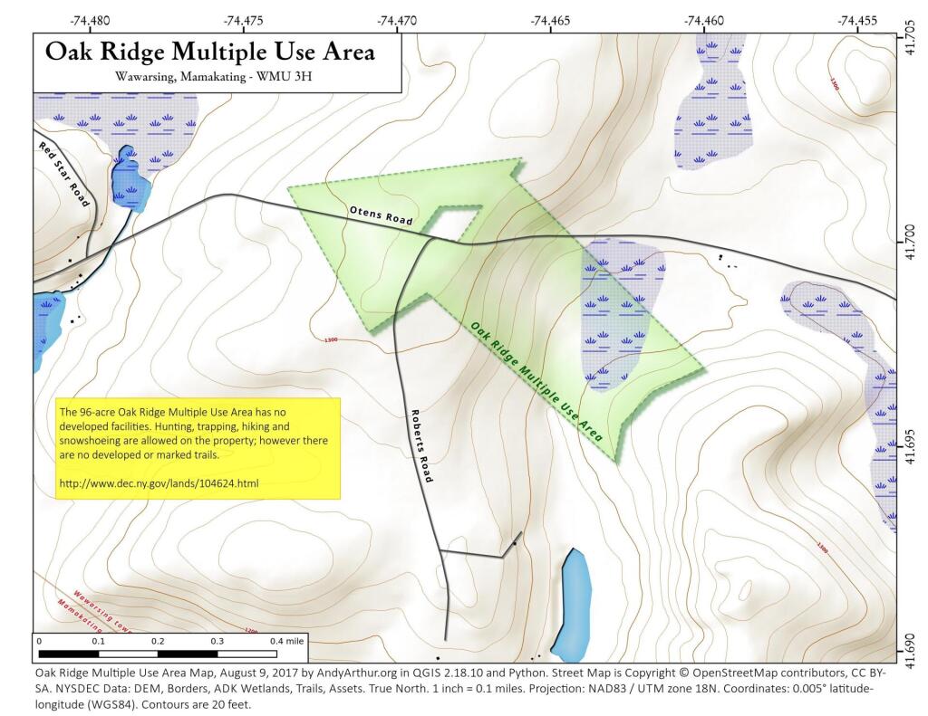
Camp Santanoni Bridge Andy | June 15, 2026 Sunday June 10, 2012 — Vanderwhacker Mountain Wild Forest — Big Pond Trail 🗺 — Boreas Railroad - Moose Club Way To Northwoods Club Road 🗺 — Boreas River 🗺 — Bullet Pond And Horseshoe Pond 🗺 — Roosevelt Truck Trail 🗺 — Stony Pond 🗺 — Vanderwhacker Firetower Trail 🗺 — Vanderwhacker Road Campsites 🗺 — Wolf Pond Trail 🗺 — Wolf Pond Trail Ortho 🗺— PDF with All Maps 📚