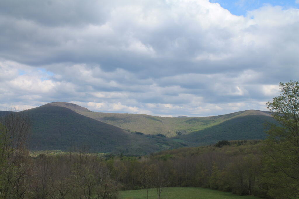
Whiteman Mountain and Cator Top Andy | April 30, 2026 Saturday May 17, 2014 — John Burroughs Memorial State Historic Site
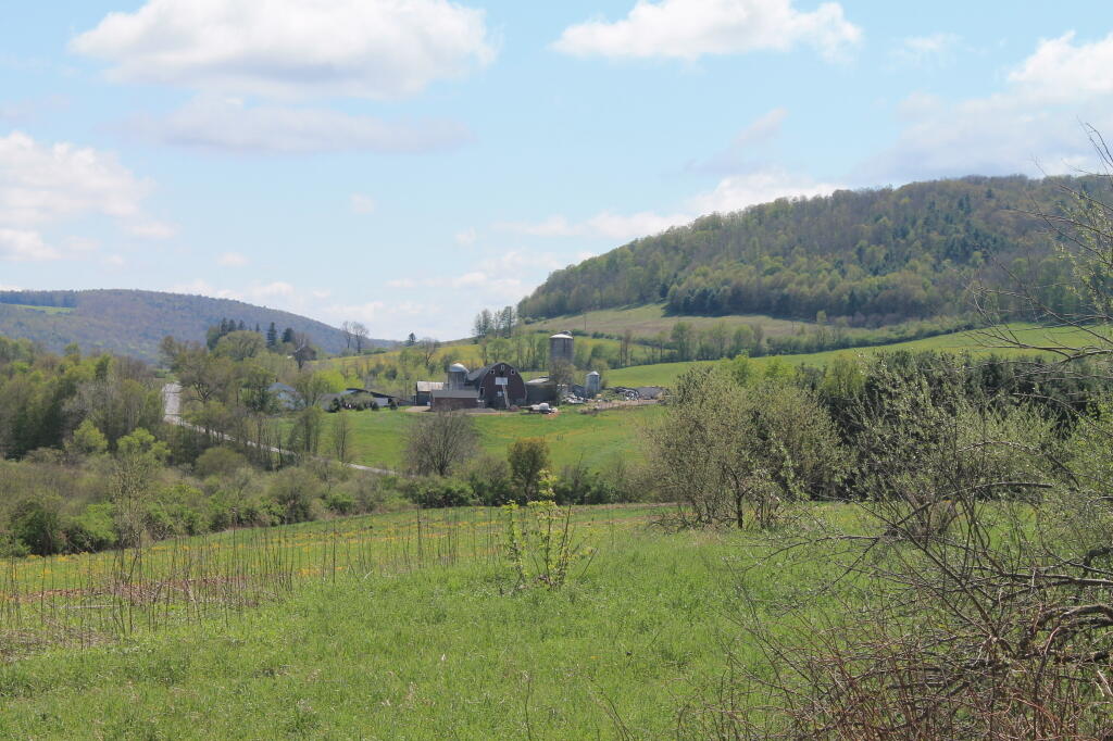
South-East from Farm Tower Andy | April 30, 2026 Saturday May 5, 2012 — Rogers Environmental Education Center
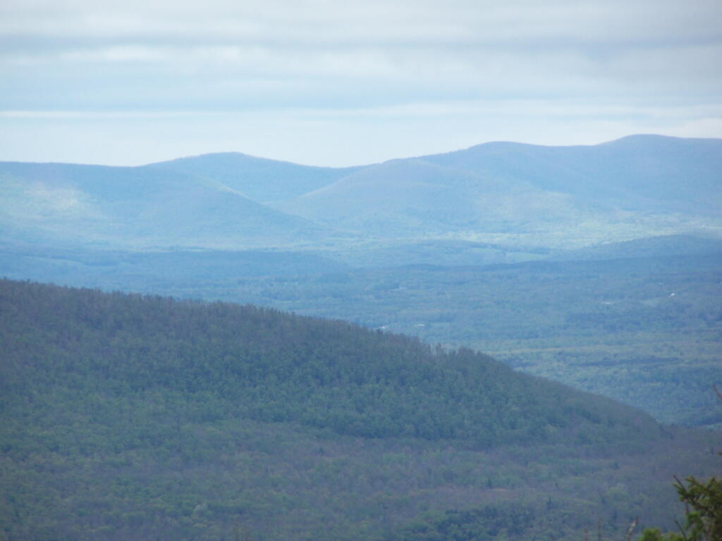
Mooresville Range Andy | April 30, 2026 Saturday May 8, 2010 — Blackhead Mountain — Blackhead Loop (Big Hollow Road) 🗺 — Blackhead Mountain Trail 🗺— PDF with All Maps 📚