Baitsholts Farm
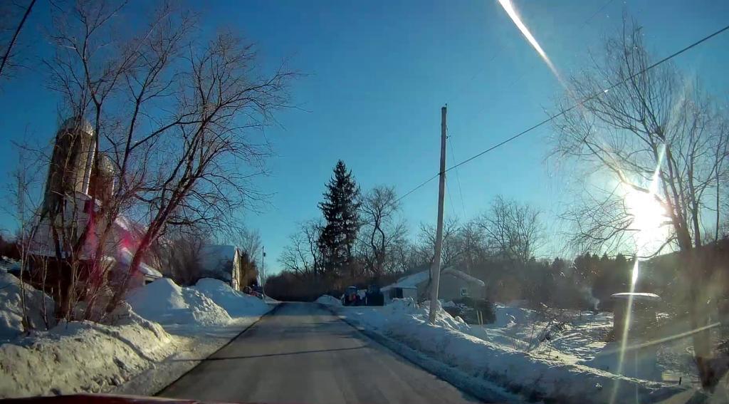
Back roads of Berne.
Sunday February 28, 2021 — Berne
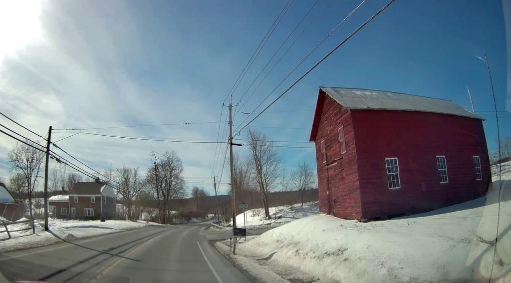
Back roads of Berne.
Sunday February 28, 2021 — Berne
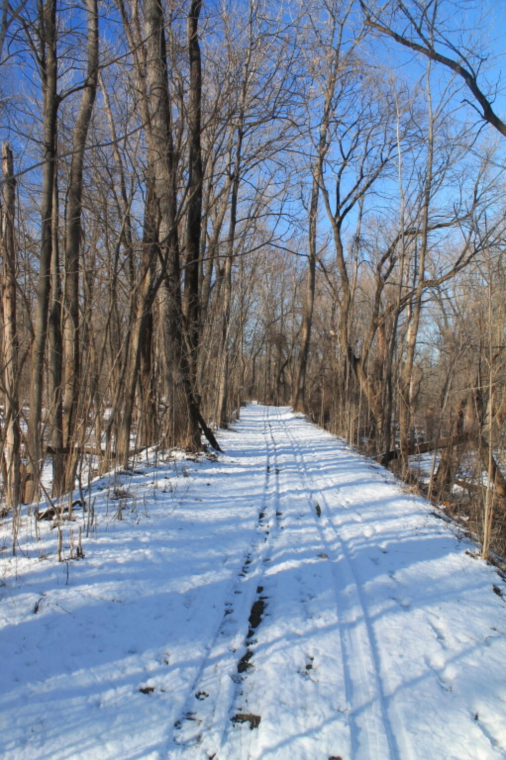

Stopping along the Normans Kill Falls and exploring the gorge, as traffic rumbles above.


![Untitled [Expires October 2 2024]](https://andyarthur.org//data/photo_011613_large.jpg)
