Day: February 19, 2026💾
📽️ Videos

Normans Kill Gorge LiDAR
This LIDAR hill shade shows the Normans Kill Gorge looking west with all of the many road beds and crossings that make up the South End of Albany.

Pull the Census Population for All Tracts in America
While you can’t directly do the call in tidycensus, you can do it quite easily with a purrr map() call like this:
map(state.abb, \(x) get_decennial('tract', state=x, variables = "P1_001N", year = 2020, geometry = T) ) |> bind_rows()
Towards High Point


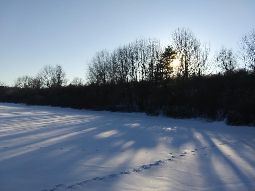
Afternoon ☀
A nice afternoon but already the sun is dropping.
Saturday February 6, 2021 — George V Vanderbilt Town Park