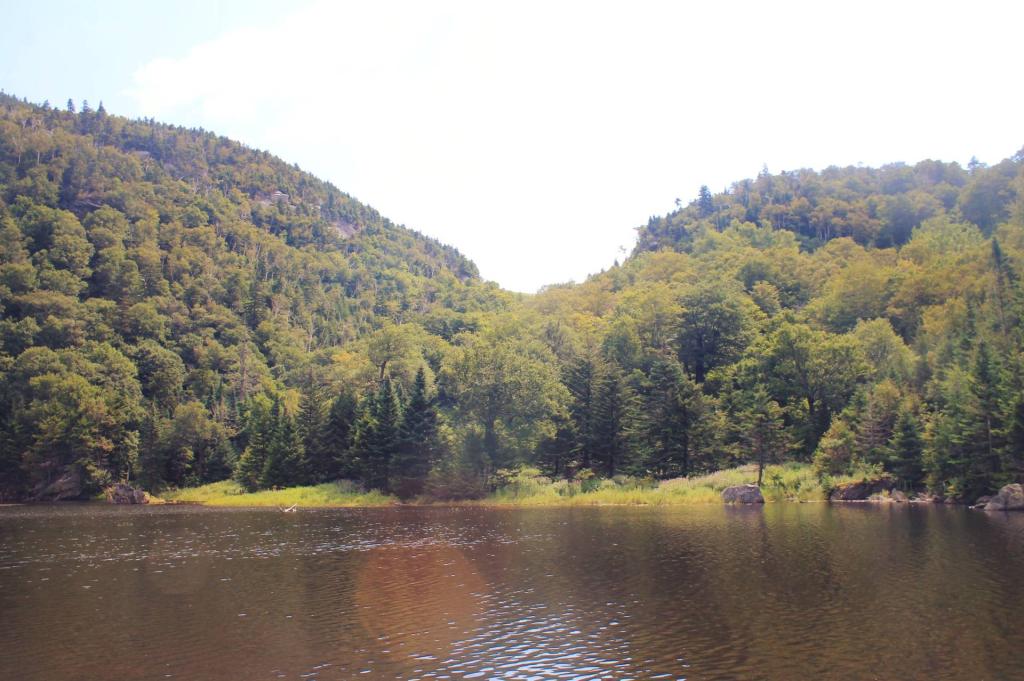
Chamberlain Gap Pond


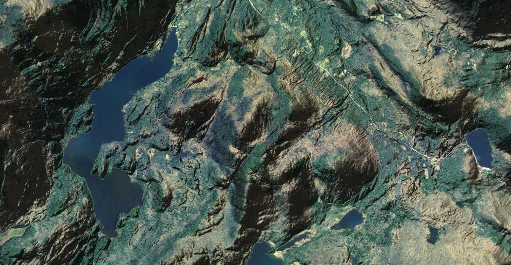
This orthophoto shows Garnet Lake, along with Mud Pond and part of Round Pond in the Adirondacks. On the extreme left is the cliffside of Ross Mountain that juts high above Garnet Lake.


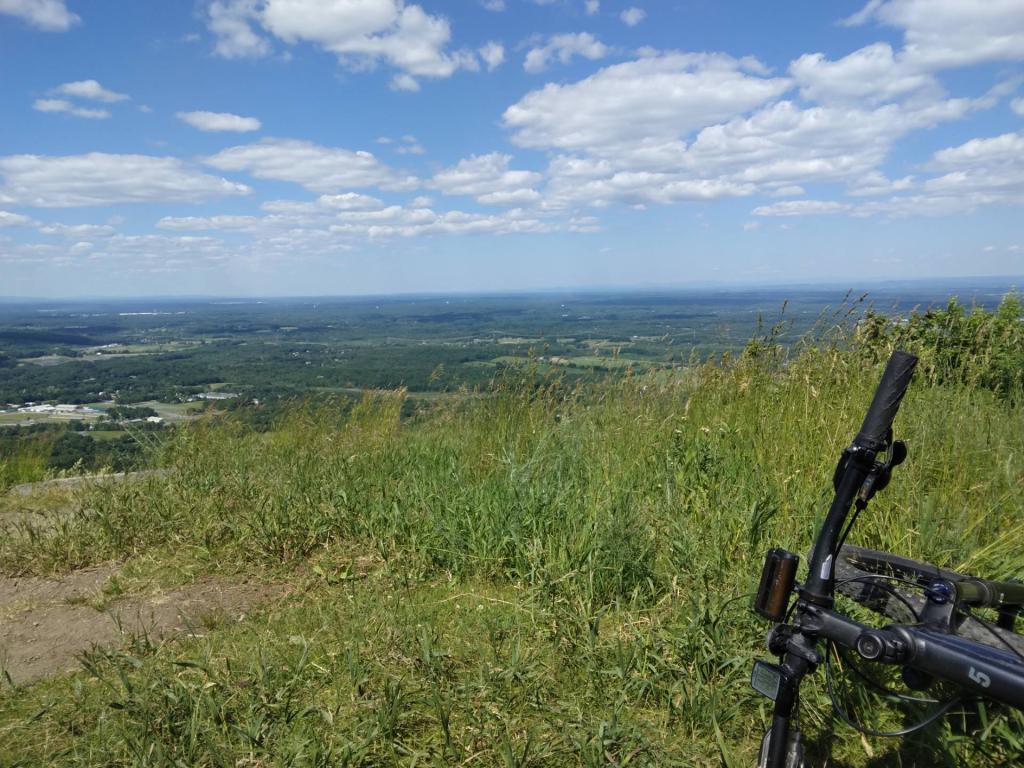
Brakes worked well enough to stop me safely lol!
Saturday June 15, 2024 — John Boyd Thacher State Park