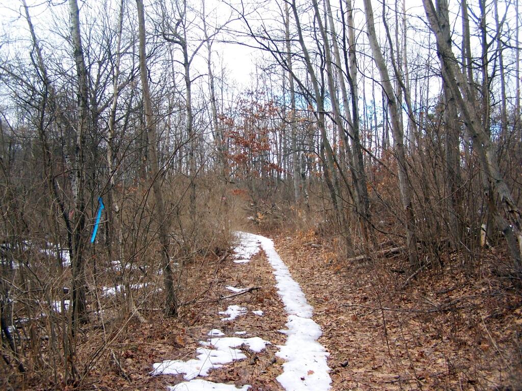
Centerville Road in the Forbidden Zone
As you can see, this portion of the former Centerville Road is a popular accessway for residents of Karner to the preserve. This former road, while an unmarked trail, is not explicatively signed as do not use.
Saturday March 19, 2011 — Albany Pine Bush