Turn Left


Corridor H ends a little ways outside of Davis, WV. Eventually it may go as far west as I-79 outside of Morganstown, further opening the area up to development and access.
— Notes — Alma Pond 🗺 — Dobbins Memorial State Forest 🗺 — Little John Wildlife Management Area 🗺 — Otter Lake 🗺 — South Hill State Forest (Oneida 23) 🗺 — Summer Hill State Forest 🗺 — West Parishville State Forest 🗺— PDF with All Maps 📚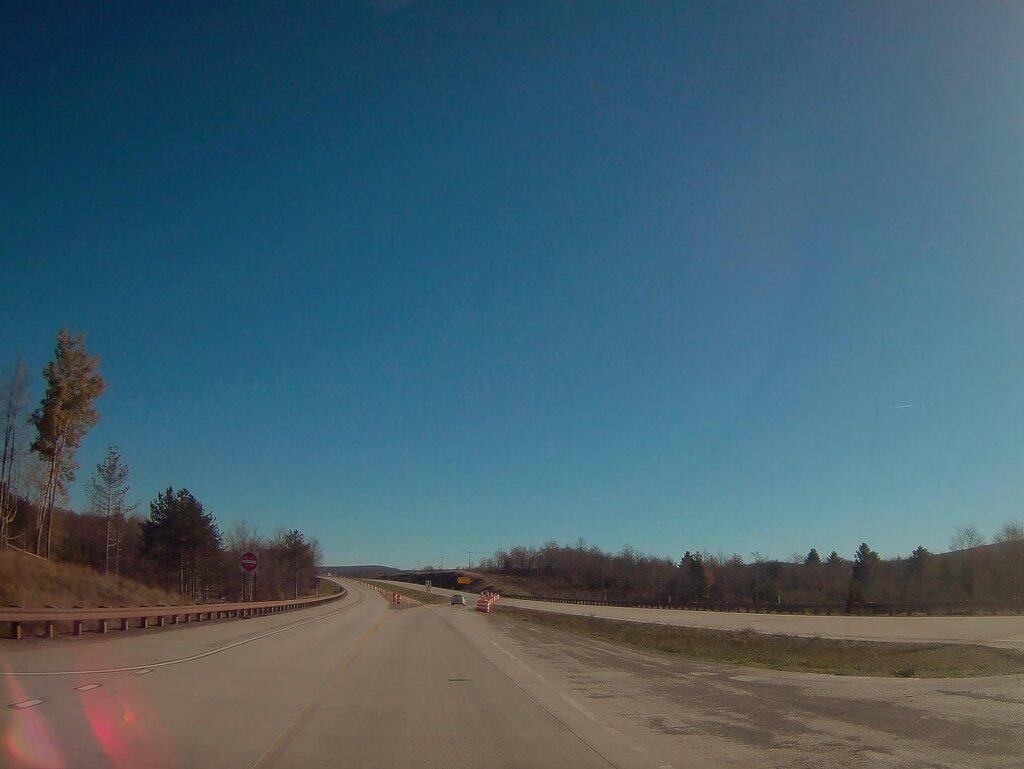

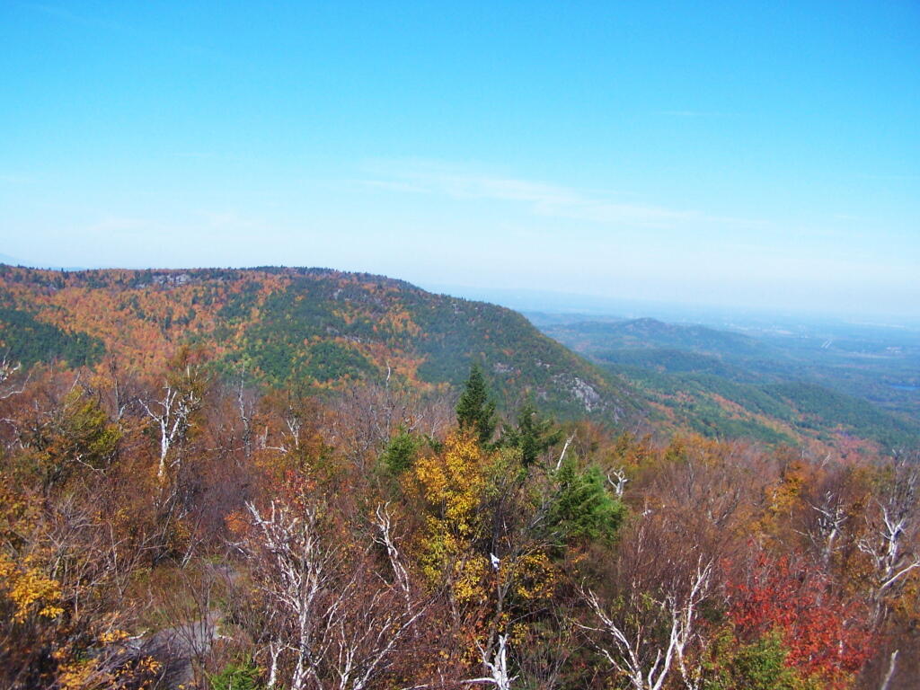
Last big mountain in the North-Eastern Adirondacks. The Champlain Valley and area around AuSable/Peru is to the east.
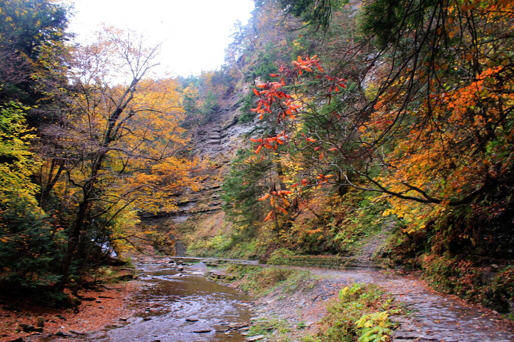
Saturday October 8, 2011 — Pok-O-Moonshine — Poke O Moonshine Fire Tower 🗺