Hills

The difference is quite impressive.
— Allegany State Park

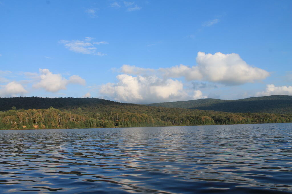
The earthen dam that makes up Mallet Pond is about 30 feet high. You wouldn't know it unless you look at it from a top the dam.
Saturday August 28, 2010 — Mallet Pond State Forest — Mallet Pond State Forest 🗺

There are 15 drive in campsites on this very dusty dirt road, that is heavily traveled, mostly by people heading to the Boy Scout Camp and the Saint Regis Canoe Area. This along Middle Pond.
Saturday August 14, 2010 — Floodwood Road — Green Pond 🗺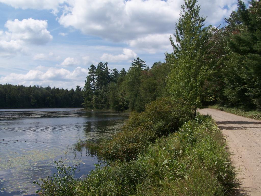

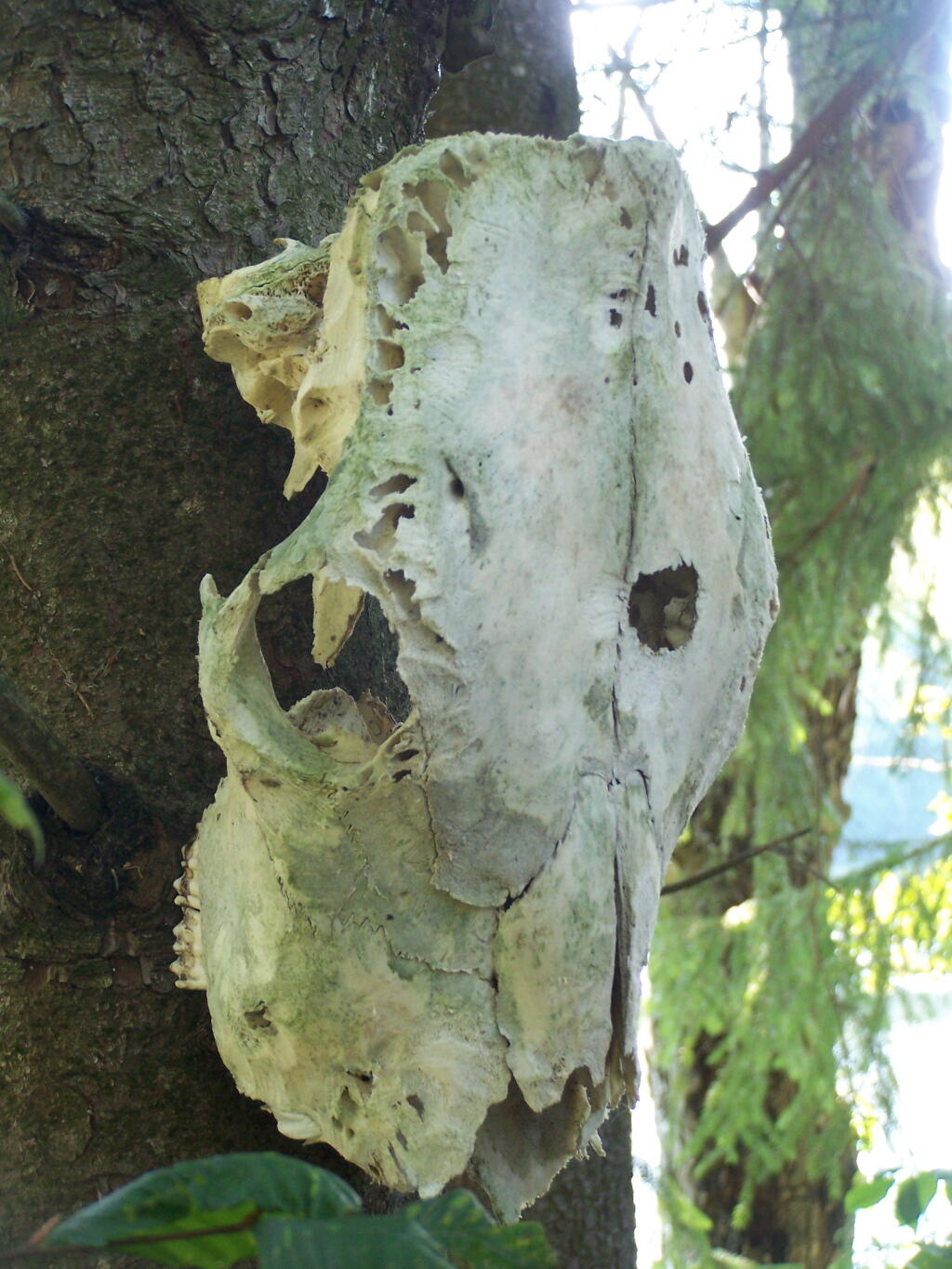
This cattle skull was hung up at the campsite on a tree. Cool! It appears to be from a dehorned cow, and the lower jaw is missing. I'm guessing it was brought on up by a SUNY Cobelskill Ag Student.
Saturday August 28, 2010 — Mallet Pond State Forest — Mallet Pond State Forest 🗺