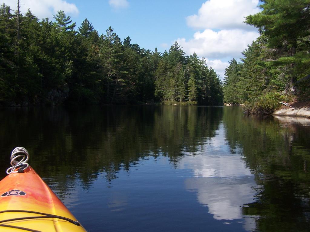
Solitude


Paddling up the "flooded" Bog River, in the lower portion of Bog River flow, right above the Lower Lows Dam. If this area was not flooded by dams, it would be rapids, unaccessible by canoe or kayak.
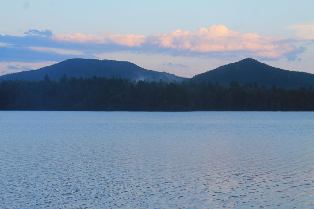
Friday August 13, 2010 — Hitchens Pond