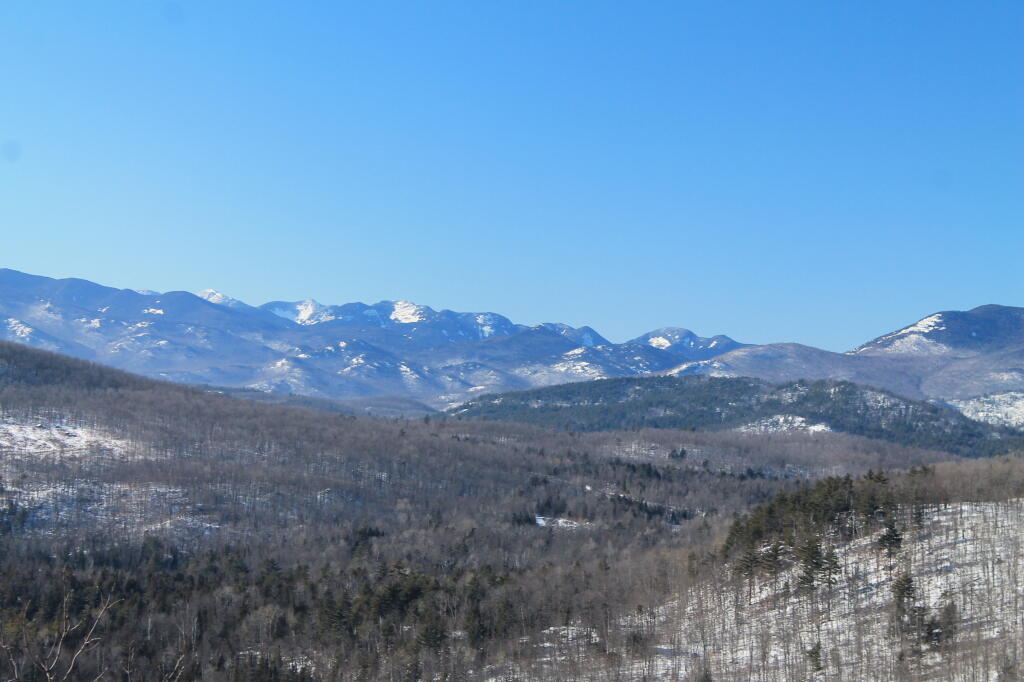
High Peaks




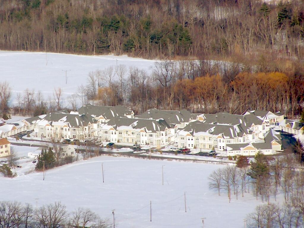
I took this same picture two years ago from High Point, looking down at these condos under construction. Completed, they look even more tacky -- if you want to live in a community with neighbors, don't live way out in the sticks, surrounded by farm land and the Altamont Fairgrounds.
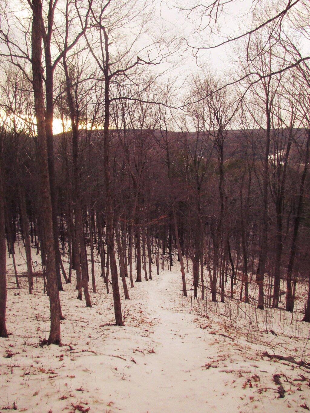
Sunday January 16, 2011 — John Boyd Thacher State Park