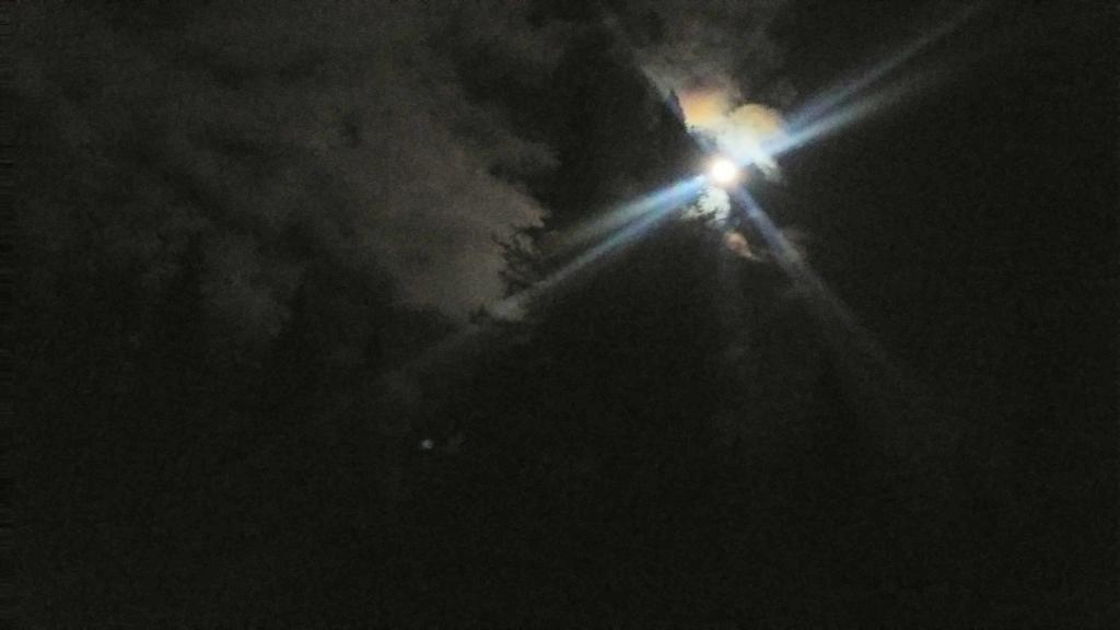
Lots of moonlight over the old growth Spruce

Pieces of Vermont Marble deposited on the top of this mountain.
Monday January 2, 2012 — Pine Cobble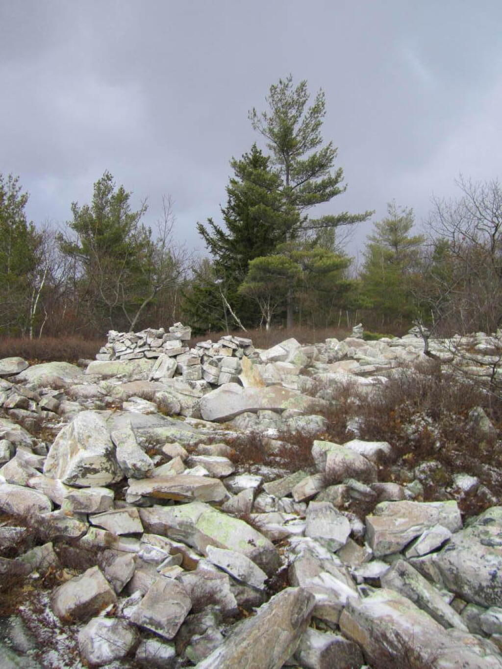

Do you live in a place that is hooked up to a sewer? This map shows the location of the outflows from every permitted sewage treatment in New York State., along with a detailed listing of the technologies used at each sewage treatment plant. Light blue are small plants, yellow and green are mid-size while red are very large sewage treatment plants.
Data Source: Current Descriptive Data of Municipal Wastewater Treatment Plants. https://data.ny.gov/Energy-Environment/Current-Descriptive-Data-of-Municipal-Wastewater-T/g5a2-qa6a
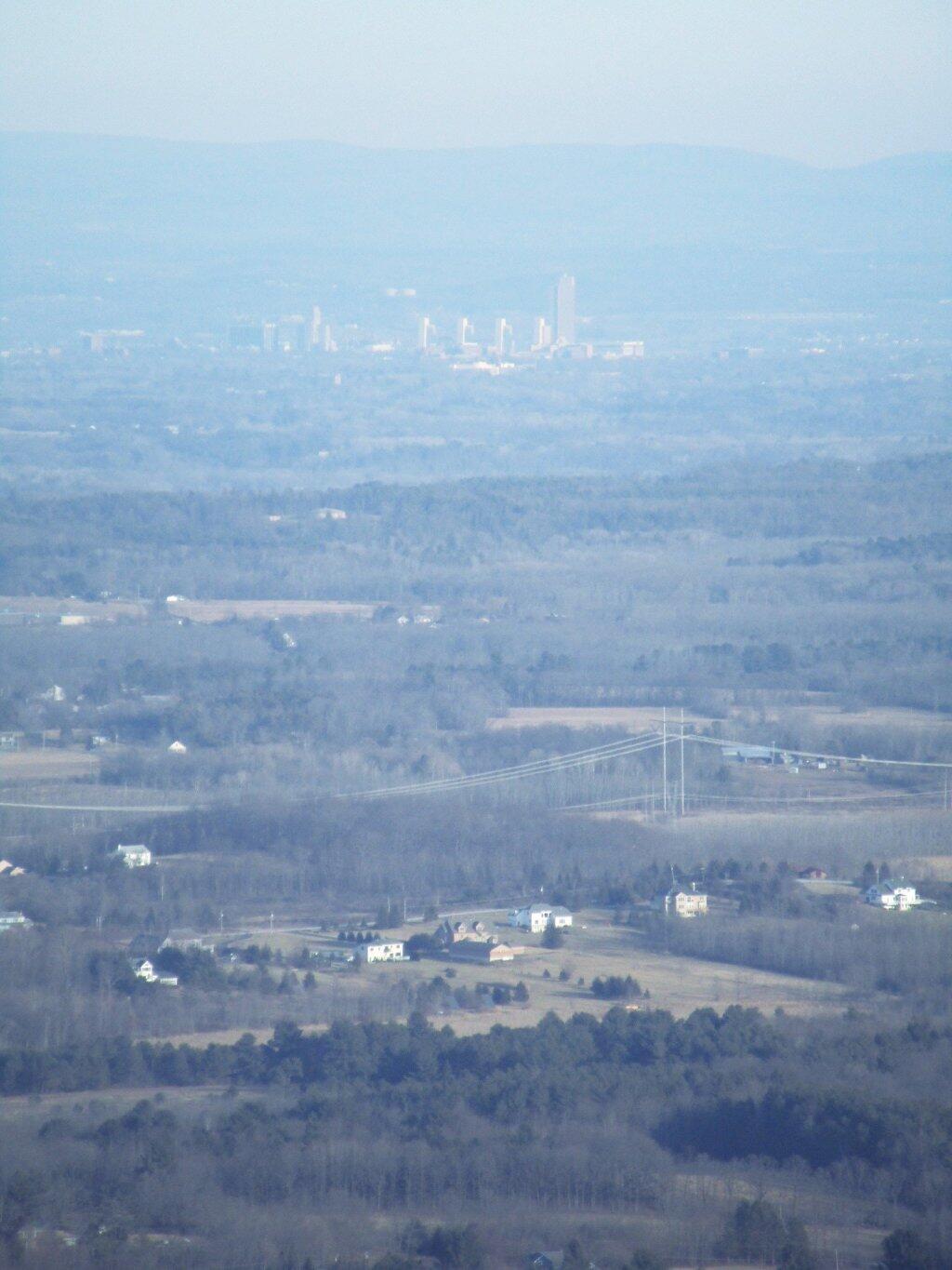
It was definitely a hazy afternoon on Martin Luther King Day. The state office buildings where almost totally buried in the haze.
Monday January 16, 2017 — John Boyd Thacher State Park