Last night at camp
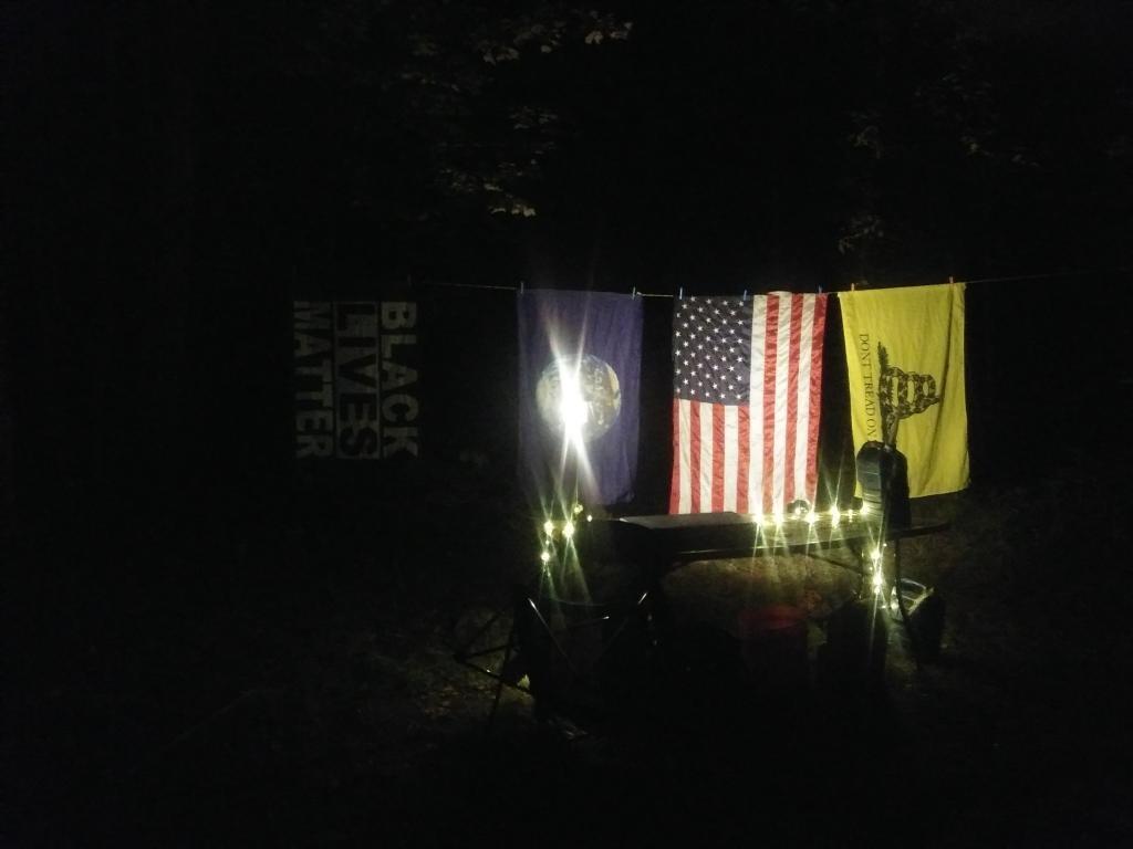
Some simple backlighting for the flags.
Thursday September 24, 2020 — Spectulator

Some simple backlighting for the flags.
Thursday September 24, 2020 — Spectulator
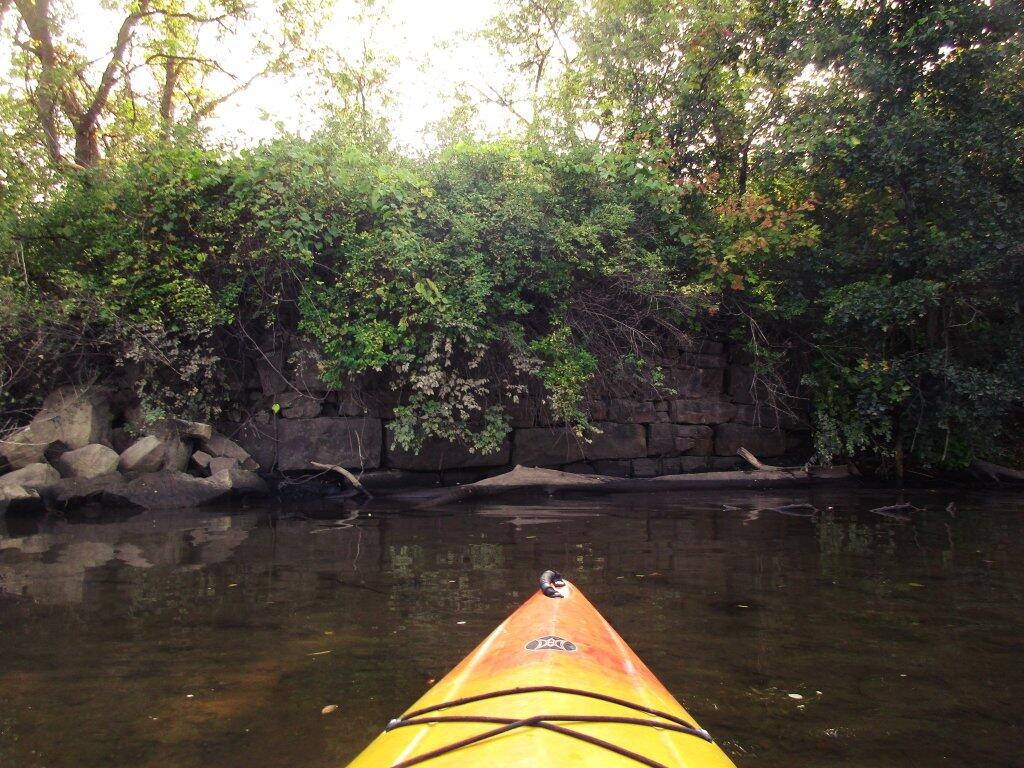

This was definitely quite neat while it lasted.
Thursday September 24, 2020 — Spectulator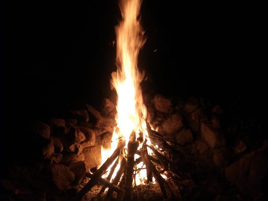

Certainly was kind of noisy but fun to watch from the virtual office.
Friday September 25, 2020 — Spectulator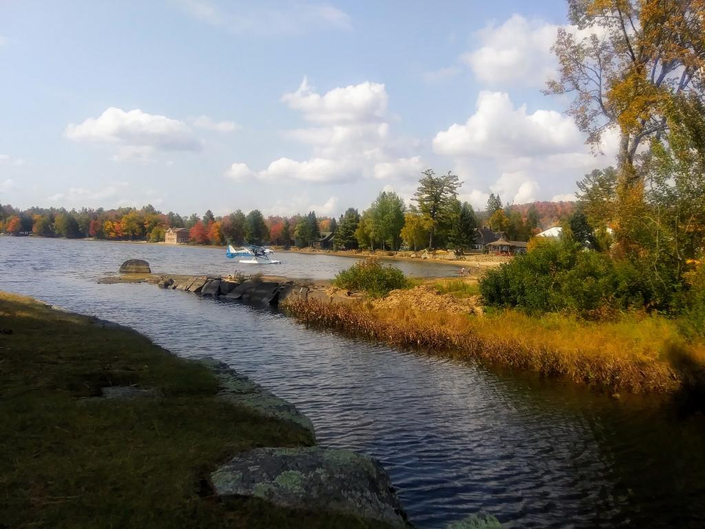

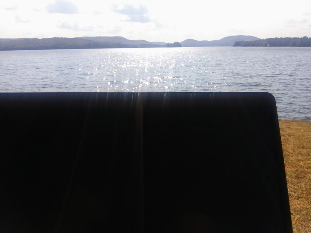
I do like working off the laptop and cellphone while I sit by the lake during this year of the pandemic. Probably will never happen again after this year.
Friday September 25, 2020 — Spectulator