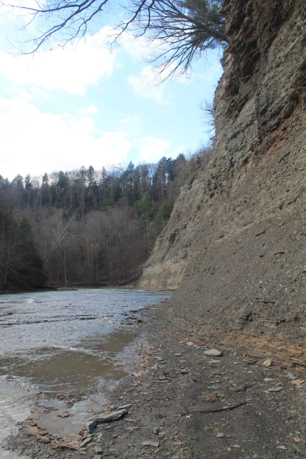
South Branch Gorge Wall 🖼️
Download a JPEG Image of the South Branch Gorge Wall.
South Branch Gorge Wall ...
Taken on Wednesday November 14, 2012 at Zoar Valley.
More about Zoar Valley...
"Zoar Valley" often refers inclusively to the larger valley of the Cattaraugus, but the state Multiple Use Area specifically encompasses an eight-mile section of the creek's Main Branch Canyon and three miles of the smaller South Branch. Canyon depths here are by far the greatest within the entire river corridor, ranging up to 380 feet in the South Branch and 480 feet along the Main Branch. Several nearly vertical rock faces approach 400 feet. Zoar Valley contains some of the last stands of old growth forest in Western New York.
Encompassing more than 2,939 acres in total, the Zoar Valley Multiple Use Area (MUA) is one of the most scenic, ecologically diverse and potentially sensitive environmental areas in Western New York. A favorite spot among local hikers and outdoor enthusiasts, Zoar Valley is known for the spectacular scenery created by its deep gorge, sheer cliffs, flowing waterfalls and dense forests.
http://www.dec.ny.gov/lands/36931.html
http://en.wikipedia.org/wiki/Zoar_Valley


