The Hilltowns Haven’t Seen That Much of a Population Boom

Conventional wisdom suggests that the Hilltowns of Albany County have seen a population growth in recent decades.

 Rainy Skies

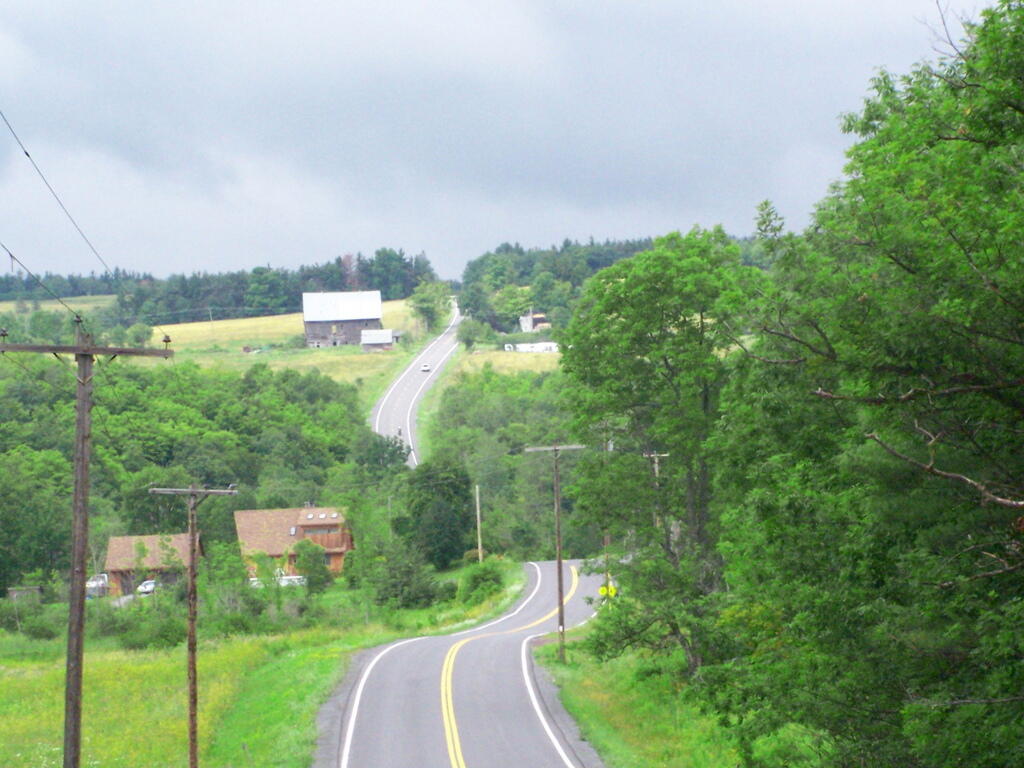
Indeed, you sometimes see new houses going up.

Catskills

And there certainly has been some growth since the boom of suburbanization — which followed 20 years latere after the abandonment of farms in 1920s and 1930s.

[nycchart id=”81832″]

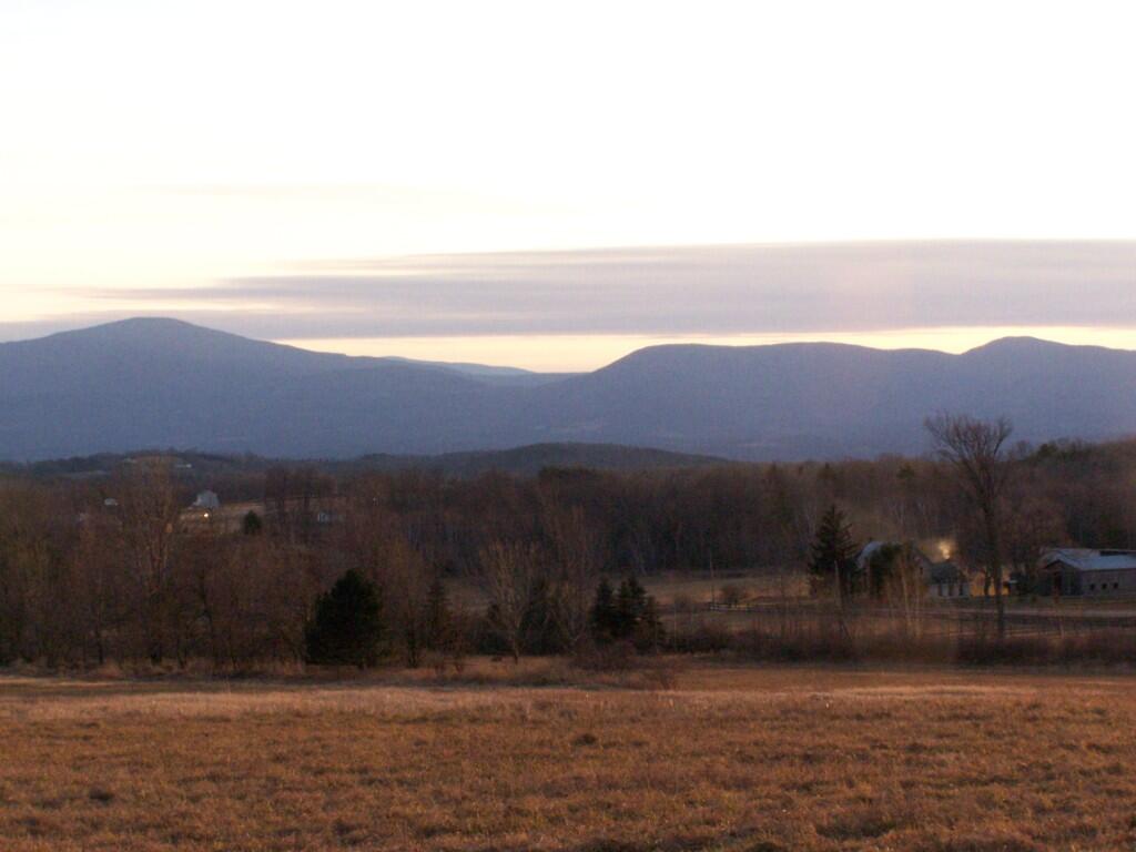
But generally the area has remained fairly rural.

Craziness at the Early Vote place

Preston Hollow

Map: Cooksburg
SVGZ Graphic: 2022 Governor's Race in Albany County
SVGZ Graphic: 2024 Albany County Presidential Voters
SVGZ Graphic: Age and Gender of Albany County Residents
SVGZ Graphic: Albany County Fire Departments
SVGZ Graphic: Albany County Land Cover
SVGZ Graphic: Albany County Non-Contigous Cartogram
SVGZ Graphic: Albany County Presidential Vote, through the Years
SVGZ Graphic: Colonie Town Supervisor Race - 2021
SVGZ Graphic: Counties with a Similiar Population Density to Albany County
SVGZ Graphic: Most Similiar Land Cover to Albany County
SVGZ Graphic: Population Gain and Loss in Albany, 2000 to 2020
SVGZ Graphic: Population of Albany County
SVGZ Graphic: Weighted Population of Albany County Towns
Terrain Map: Albany County New Buildings 2015-2019
Terrain Map: Capital Region Land Use
Terrain Map: Development In The Albany Area
Terrain Map: Heldebergs
Terrain Map: Hills and Hollows Eastern Heldebergs
Terrain Map: Hills and Hollows Western Heldebergs
Terrain Map: Lake Albany
Thematic Map: 2020 Presidential Election in Albany County
Thematic Map: 2024 National Land Cover Dataset - Albany County, New York
Thematic Map: Albany County - Soil Dranage Class
Thematic Map: Albany County NY Towns
Thematic Map: Albany County Population Density - 3D Rendering
Thematic Map: Albany County Watersheds NAIP Imagery
Thematic Map: Albany County, NY Sub-watersheds
Thematic Map: Albany-area Urbanization between 2001 and 2019
Thematic Map: Areas of Prime Farm Land in Albany County
Thematic Map: Elevation of Albany County
Thematic Map: Level 4 Ecoregions in Albany County.
Thematic Map: Log Homes of Albany County
Thematic Map: Median Year Building Built, Albany County
Thematic Map: Named Summits in Albany County, NY
Thematic Map: Nobody Lives Here - Zero Populaton Blocks in Albany County
Thematic Map: Normans Kill Watershed
Thematic Map: Populated Places in Albany County, New York
Thematic Map: Residential Rental Properties in the City of Albany
Thematic Map: Wetlands of Albany County
Photo: Green
Photo: Vly Creek Reservior
Photo: Frothingham Lake

Leave a Reply

Your email address will not be published. Required fields are marked *