Looking Back as I Climbed Route 6 🖼️
Download a JPEG Image of the Looking Back as I Climbed Route 6.
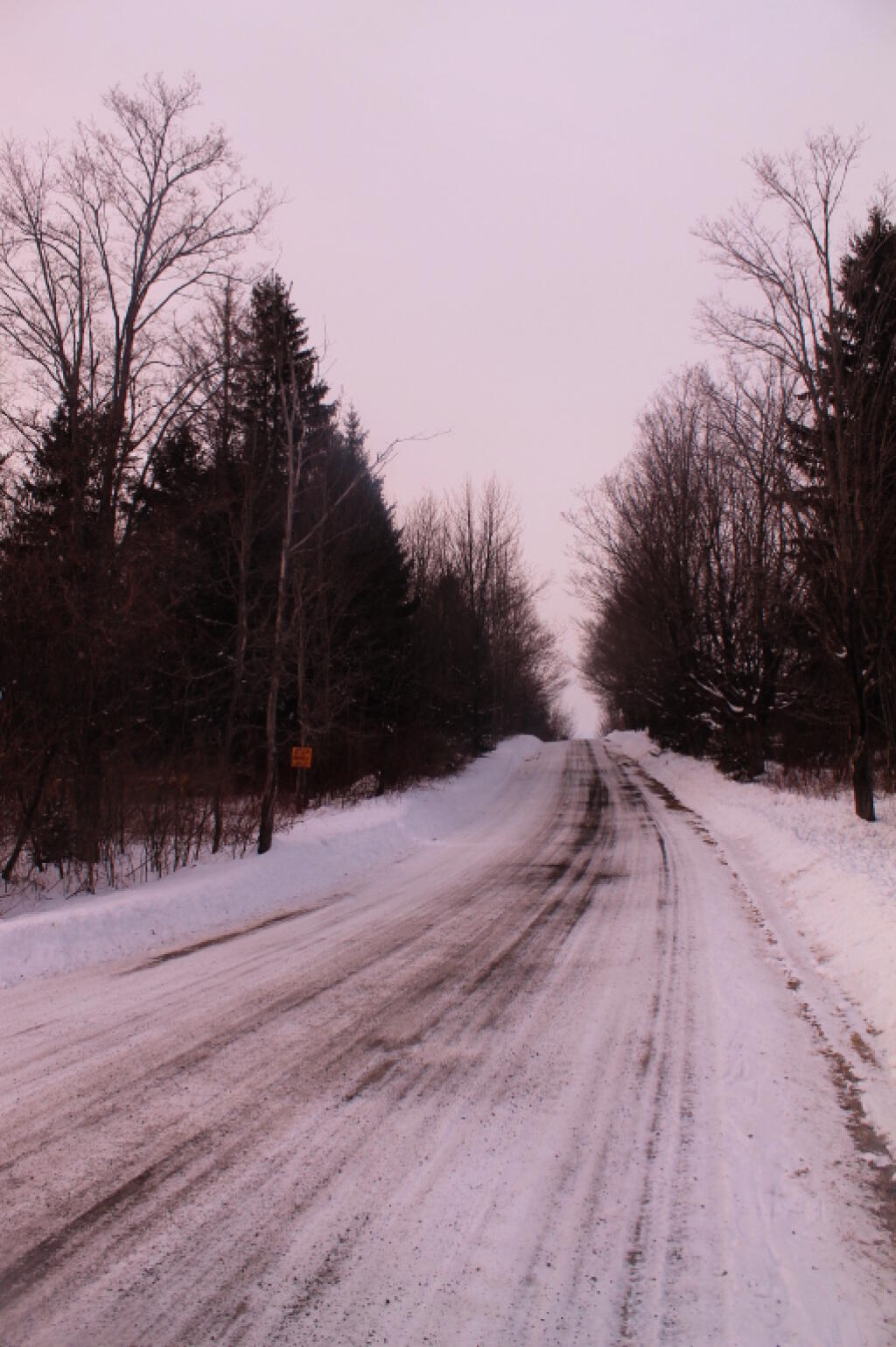
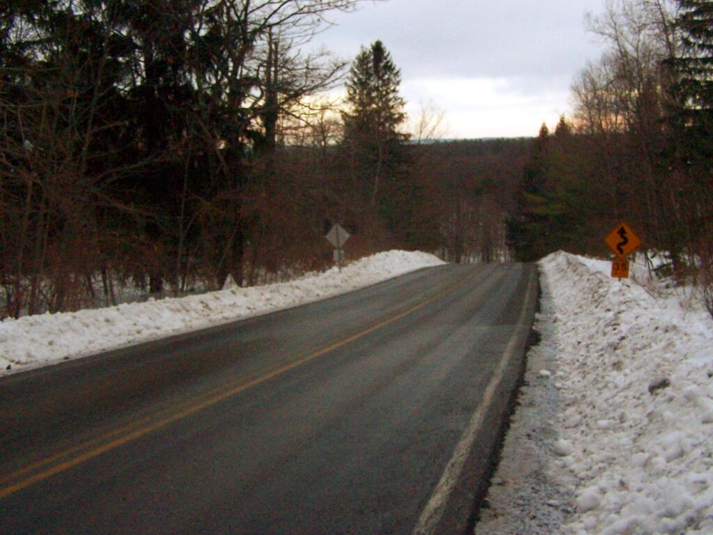
Looking Back as I Climbed Route 6 ...
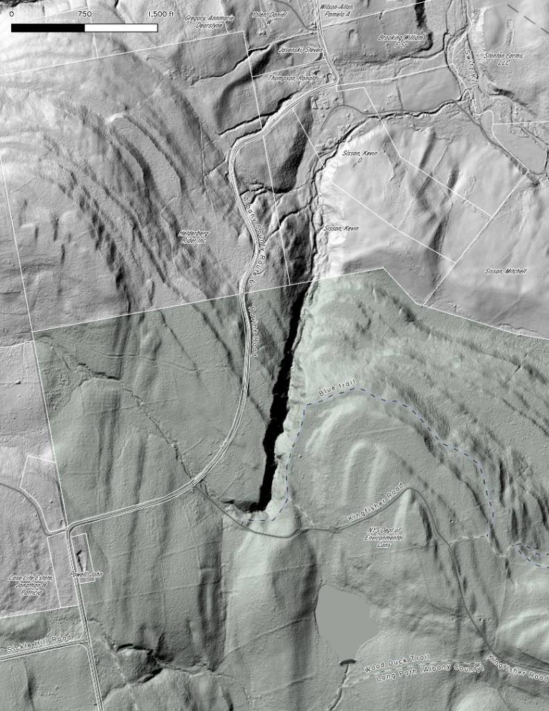
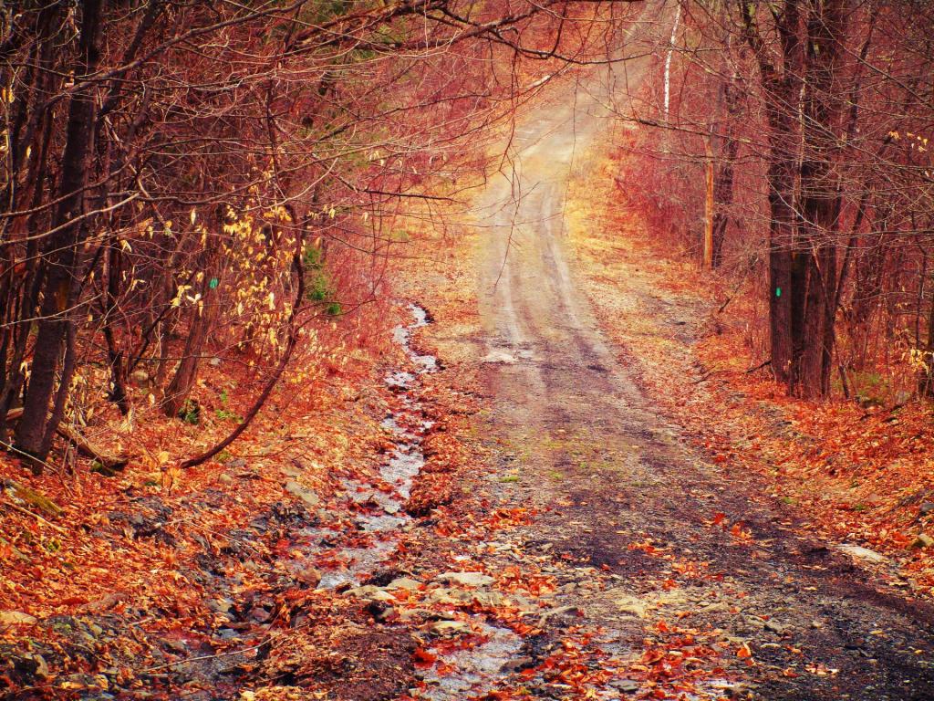
Ravine Road wasn't all that bad of a walk, as it was plowed. Beat having to go through all that deep snow. Ravine Road is steep, and while this isn't the steepest portion of it, I was parked some 400 feet above where I hiked to at The Gulf. Walking along this rural section of highway, I could smell the kerosene being burnt for heat on the trailer/hunting camp on the other side of the road and it just brought me home and reminded me how much I missed Rural Albany County.
Taken on Sunday February 6, 2011 at Partridge Run Game Management Area.

More about Partridge Run Game Management Area...
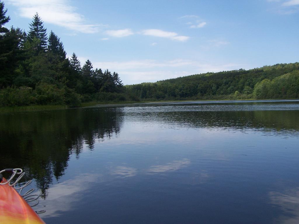
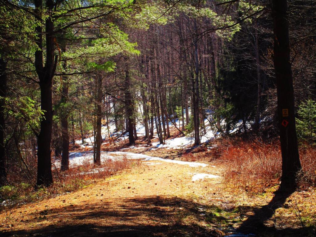
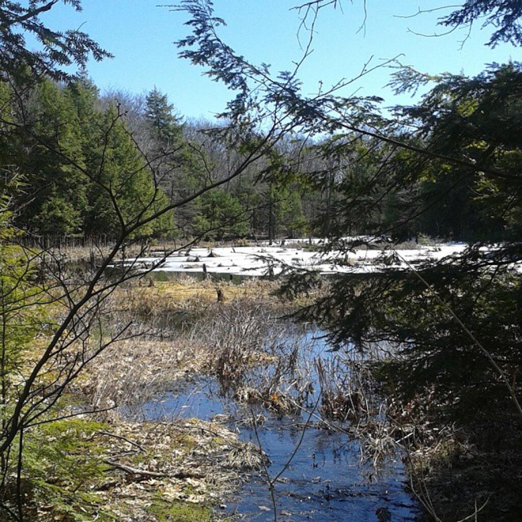
Partridge Run Wildlife Management Area (WMA) consists of about 4500 acres of upland and wetland habitat in Albany County. It is located in the Town of Berne. The majority of the current WMA was transferred to the New York State in 1962 by the federal government. The WMA can be access from County Rt. 13, County Rt. 6 and a number of town roads. Numerous parking areas are located throughout the WMA. This parcel of public land affords multiple uses for outdoor recreation including hunting, trapping, fishing, birding, hiking, snowmobiling, skiing, and horseback riding.
http://www.dec.ny.gov/outdoor/86068.html