The Other Part of Shultes Road 🖼️
Download a JPEG Image of the The Other Part of Shultes Road.
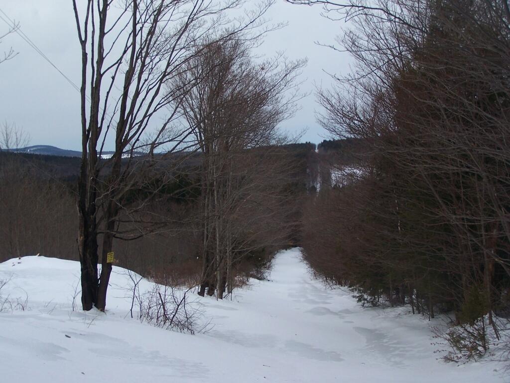
The Other Part of Shultes Road ...
Speaking of how well plowed Shultes Road was, until you got past the last house, and it was unplowed and completely untraveled by snowmobiles to pack the snow down. The snow was 4-6 feet deep, and tough going.
Taken on Sunday February 13, 2011 at Partridge Run Game Management Area.

More about Partridge Run Game Management Area...
Partridge Run Wildlife Management Area (WMA) consists of about 4500 acres of upland and wetland habitat in Albany County. It is located in the Town of Berne. The majority of the current WMA was transferred to the New York State in 1962 by the federal government. The WMA can be access from County Rt. 13, County Rt. 6 and a number of town roads. Numerous parking areas are located throughout the WMA. This parcel of public land affords multiple uses for outdoor recreation including hunting, trapping, fishing, birding, hiking, snowmobiling, skiing, and horseback riding.
http://www.dec.ny.gov/outdoor/86068.html


