Untitled 🖼️
Download a High Resolution JPEG Image of the Untitled or an Adobe Acrobat Printable PDF of the Untitled.
Untitled ...
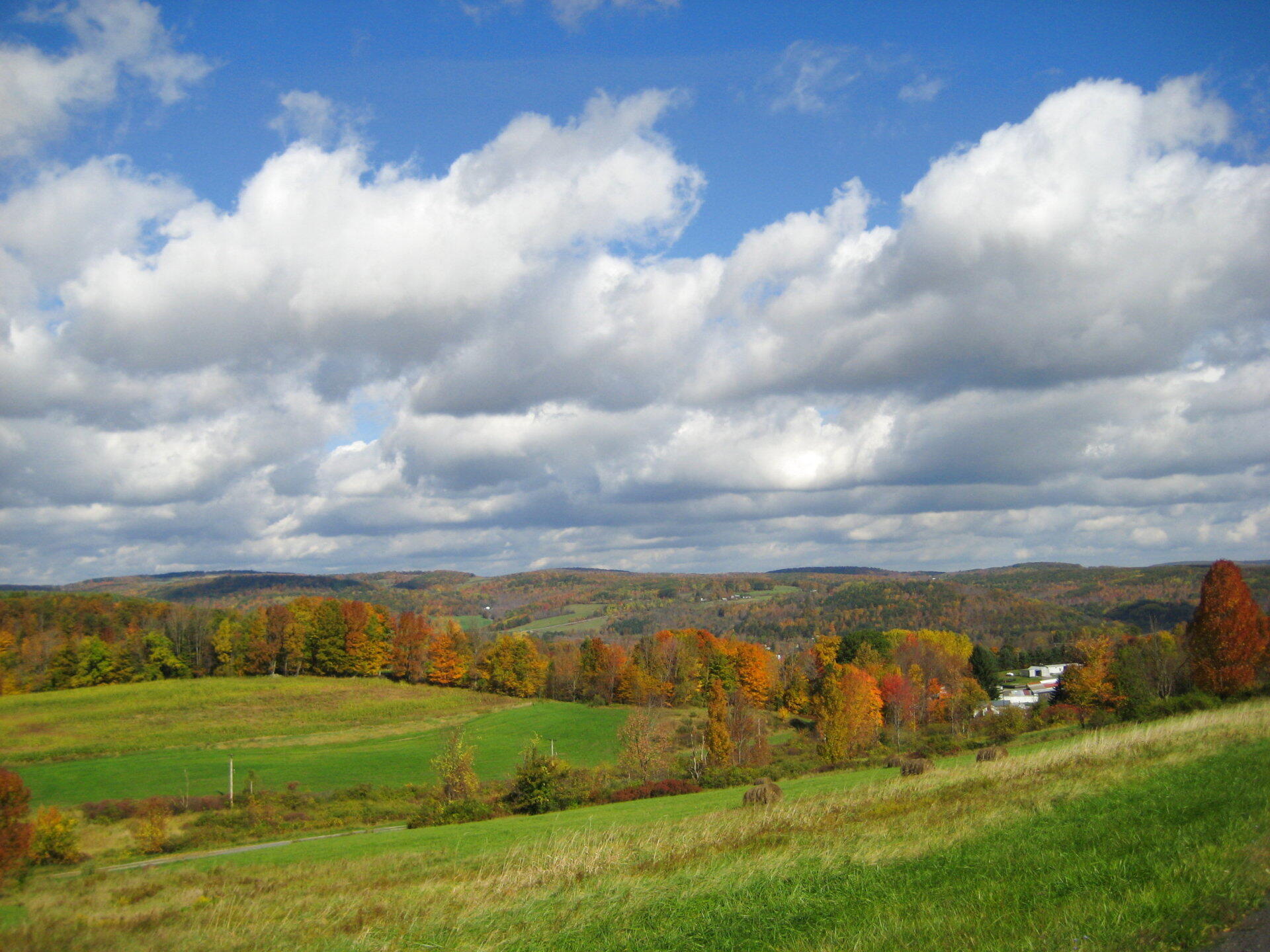
Taken on Sunday October 11, 2009 at Schoharie County.

More about Schoharie County...
Schoharie County is a county located in the U.S. state of New York. As of the 2010 census, the population was 32,749. The county seat is Schoharie.
A primarily rural county known for the fertile Schoharie Valley, it is also home to many state forests, including Burnt-Rossman State Forest.
http://en.wikipedia.org/wiki/Schoharie_County,_New_York
Download the PDF Map Pack with All Maps from Schoharie County.


