2016 Presidential Democratic Primary – Hillary Clinton Vote Margin
About 2016 Presidential Democratic Primary - Hillary Clinton Vote Margin ....
This interactive Google Map shows the vote margin for Hillary Clinton over Bernie Sanders in Albany County. Bernie Sanders won the county with about 52.2% of the vote, or a fairly comfortable 1,884 vote margin. Hillary Clinton's support was concentrated in urban, African American portions of the county, while Bernie Sanders had his strength in rural and outer suburbs, along with Downtown Albany and Delmar. Bernie Sander's coalition certainly was an interesting one.
Helpful Hint: While I suggest you look on blog for a downloadable PDF Map, you should be able to print or save this map by clicking the print button on the map above.
Data Sources
2016 Presidential Democratic Primary - Hillary Clinton Vote Margin - You can download the KMZ File used in creation of this map.
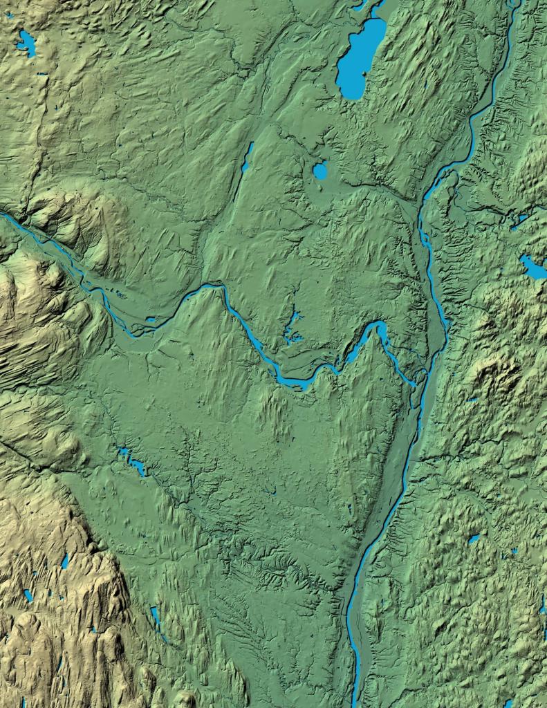
3DEP Elevation Hillshade. LIDAR and legacy USGS DRG Topo Derived hillshades used as a background. DEM - WMS Service: https://elevation.nationalmap.gov/arcgis/services/3DEPElevation/ImageServer/WMSServer, Layer: 3DEPElevation:Hillshade Gray
Full List of WMS and ArcMap Services - CSV Spreadsheet with all web map services currently used on the blog.
More about Albany County...
Albany County (/ˈɔːlbəniː/ awl-bə-nee) is a county located in the U.S. state of New York, and is part of the Albany-Schenectady-Troy Metropolitan Statistical Area. The name is from the title of the Duke of York and Albany, who became James II of England (James VII of Scotland). As of the 2010 census, the population was 304,204.[1] As originally established, Albany County had an indefinite amount of land, but has only 530 square miles (1,400 km2) as of March 3, 1888. The county seat is Albany, the state capital.
http://en.wikipedia.org/wiki/Albany_County,_New_York