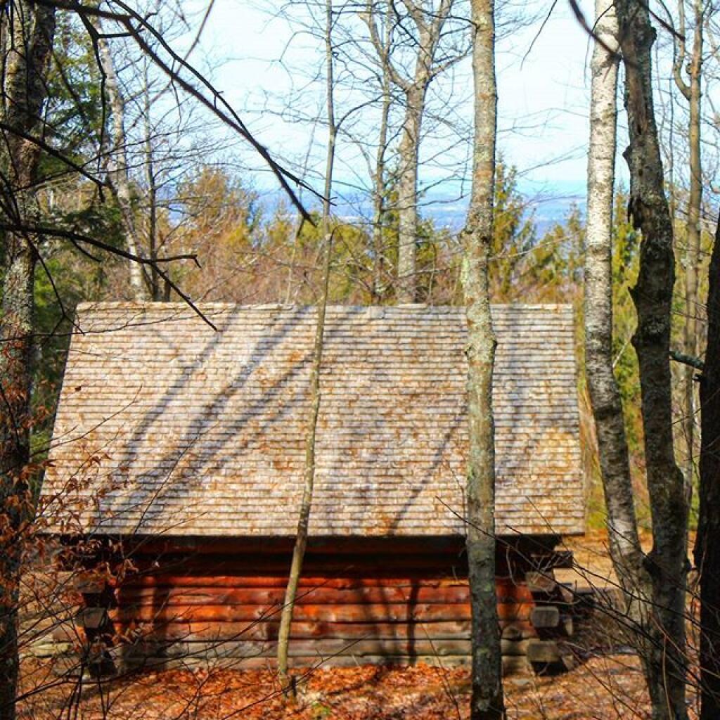
Cotton Hill Lean-to 🖼️
Download a JPEG Image of the Cotton Hill Lean-to.
Cotton Hill Lean-to ...
Taken on Thursday March 17, 2016 at Dutch Settlement State Forest.

More about Dutch Settlement State Forest...
Consisting of one of the highest hills above the Schoharie Valley, the 860-acre Dutch Settlement State Forest is crossed by the Long Path and has a lean-to, off of Treadlemire Road in Middleburgh. The village of Middleburgh is roughly 5 miles down Cotton Hill Road from here.
Cotton Hill State Forest is nearby Dutch Settlement State Forest and is commonly confused -- as the summit of Cotton Hill is in Dutch Settlement State Forest and not Cotton Hill State Forest, which was acquired first. Part of the long path runs along Cotton Hill State Forest.


