Warmth from Campfire 🖼️
Download a JPEG Image of the Warmth from Campfire.
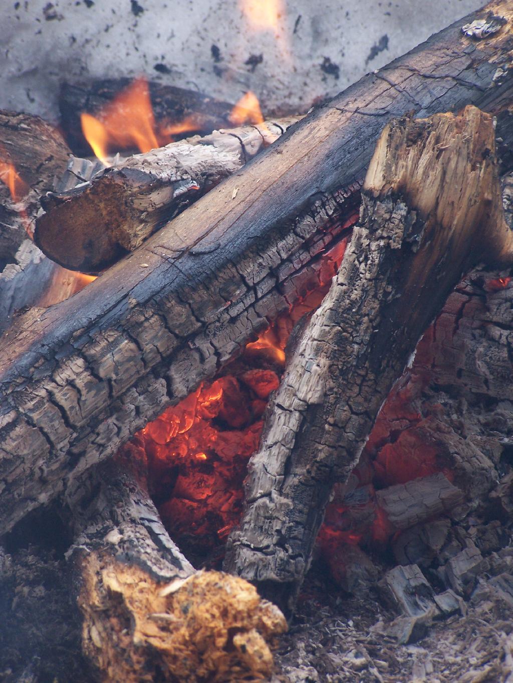
Warmth from Campfire ...
Not that I would need much of a fire until after darkness, I still wanted a big bed of coals, so that the melting snow wouldn't put things out.
Taken on Saturday March 20, 2010 at Dutch Settlement State Forest.

More about Dutch Settlement State Forest...
Consisting of one of the highest hills above the Schoharie Valley, the 860-acre Dutch Settlement State Forest is crossed by the Long Path and has a lean-to, off of Treadlemire Road in Middleburgh. The village of Middleburgh is roughly 5 miles down Cotton Hill Road from here.
Cotton Hill State Forest is nearby Dutch Settlement State Forest and is commonly confused -- as the summit of Cotton Hill is in Dutch Settlement State Forest and not Cotton Hill State Forest, which was acquired first. Part of the long path runs along Cotton Hill State Forest.


