Ascent of Stissing Mountain 🖼️
Download a JPEG Image of the Ascent of Stissing Mountain.
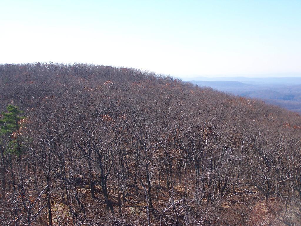
Ascent of Stissing Mountain ...
The fire tower is not located at the due top of the mountain, and despite being 90' high (compared to 60' on most towers), does not have good views for about 30 degrees in the south.
Taken on Sunday November 8, 2009 at Stissing Mountain.

More about Stissing Mountain...
Stissing Mountain Multiple Use Area consists of 590 acres in the Tows of Milan, Pine Plains, and Stanford in Dutchess County.
Nearby is the Stissing Fire Tower stands on one acre of ground, both of which are owned by Friends of Stissing Landmarks (FOSL), a not-for-profit organization created to save and preserve the tower for public enjoyment.
The shortest and easiest point of access is from Lake Road in Pine Plains, just down from the Thompson Pond Preserve entrance on the bend of the road. The ascent to the tower begins by crossing approximately 100 yards of Nature Conservancy property, after which the trails cross private property all the way to the tower.
http://hikethehudsonvalley.com/stissing-mountain/
http://www.nynjtc.org/hike/stissing-mountain


