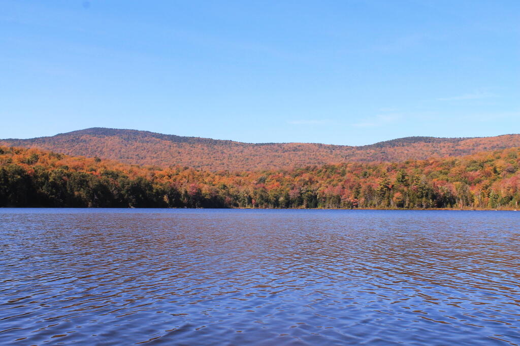
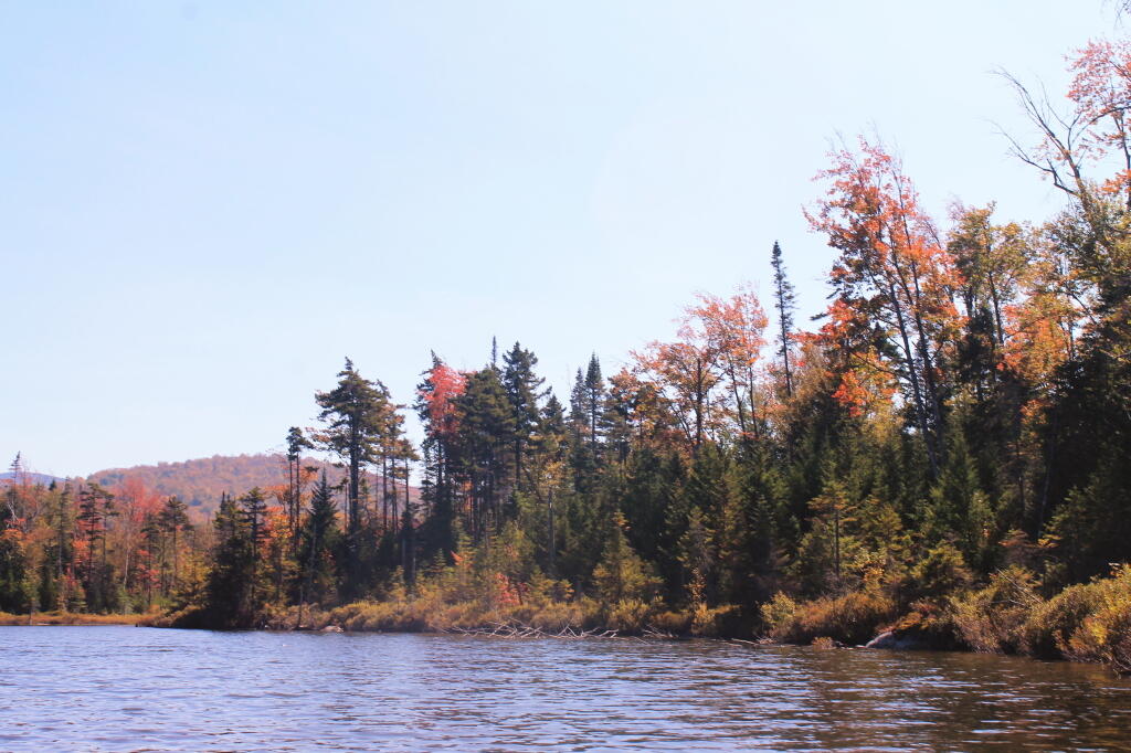
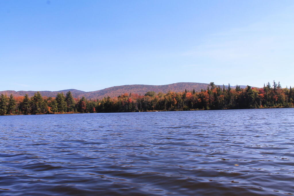
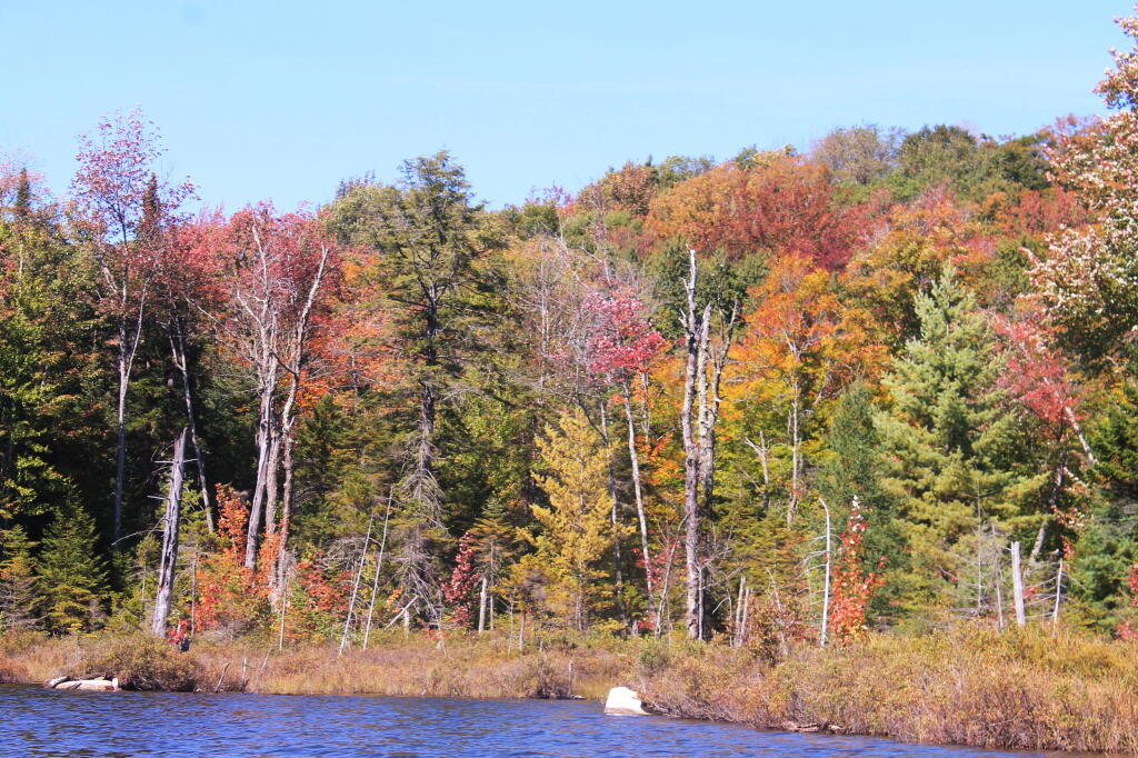
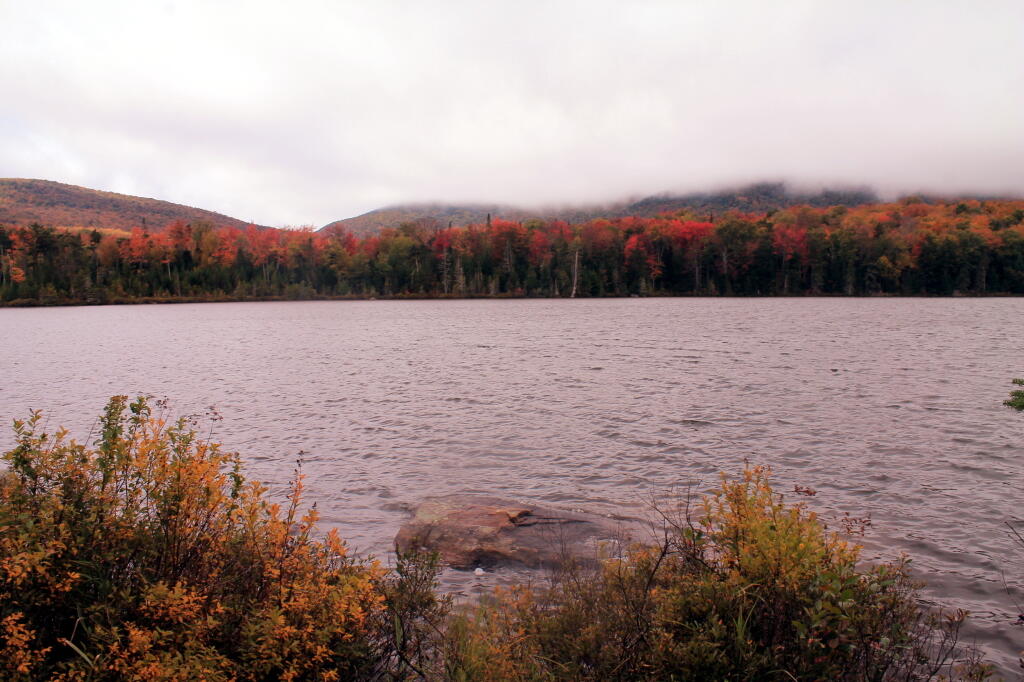
Reds Along Pond Edge 🖼️
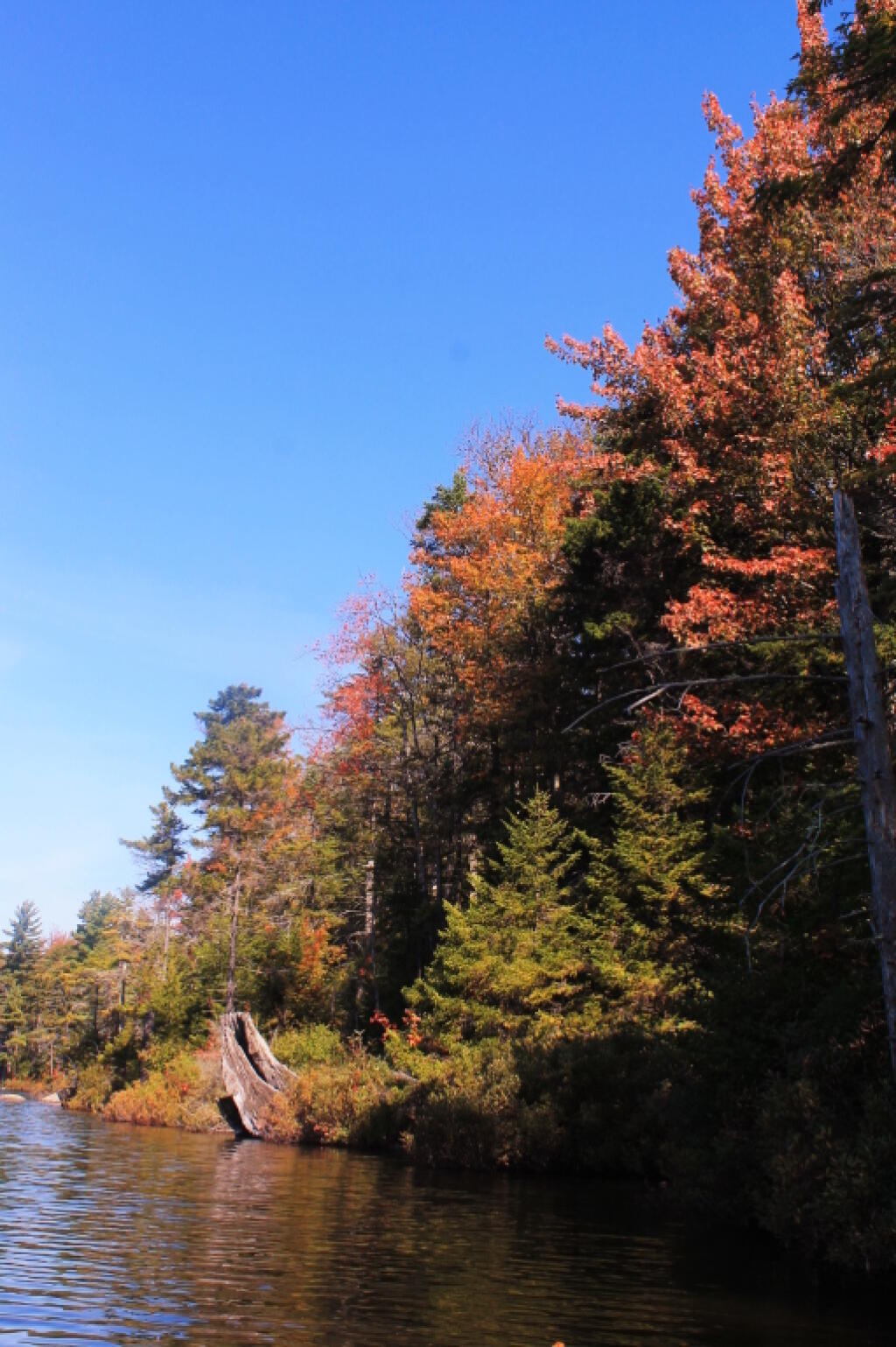
Download a JPEG Image of the Reds Along Pond Edge.
Reds Along Pond Edge ...
Taken on Friday September 20, 2013 at Wakely Pond.
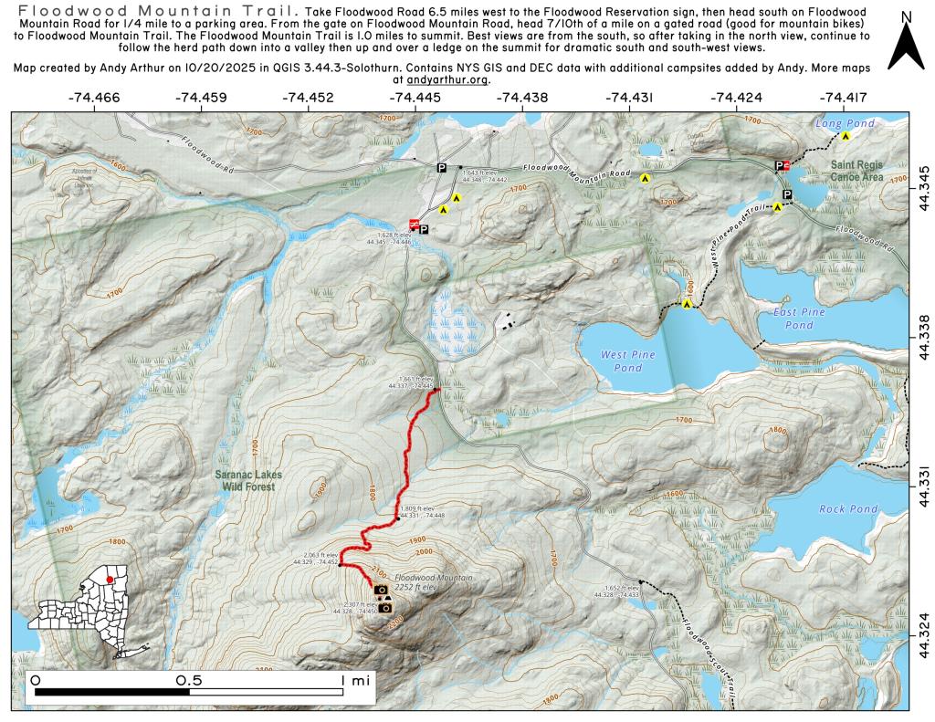
More about Wakely Pond...
Wakely Pond (37 acres) lies on the far eastern edge of the Moose River Plains, roughly 1.5 miles east of Wakely Dam/Cedar River Entrance on Cedar River Road.
Wakely Pond has a maximum depth
of nine feet and an estimated mean depth of five feet. Much of the pond bottom is muck with some sand and limited areas of bedrock.