Thru the Trees 🖼️
Download a JPEG Image of the Thru the Trees.
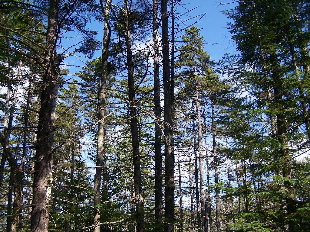
Thru the Trees ...
Along the quiet Unnamed Dirt Road, some views through the trees.
Taken on Friday August 13, 2010 at Horseshoe Lake.

More about Horseshoe Lake...
Horseshoe Lake in Franklin County, is located about 15 miles south west of Tupper Lake. There are 6 campsites along the lake, plus 4 others on roads nearby. Near the Hitchens Pond put-in for Lows Lake, a popular spot for camping and paddling.


