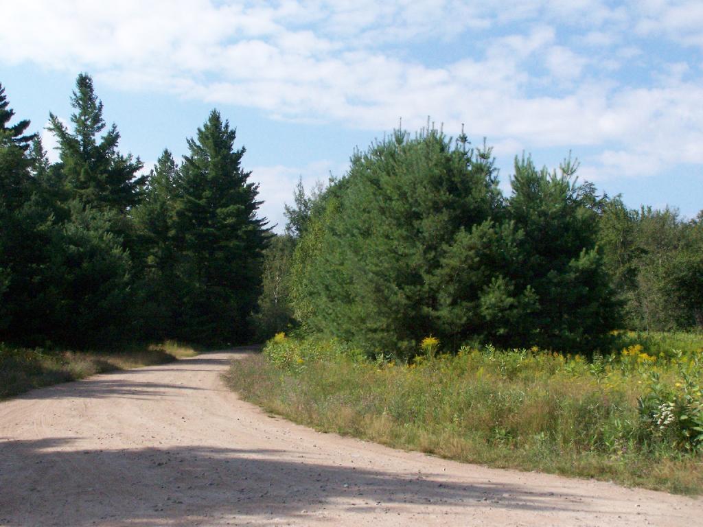
Gravel Road 🖼️
Download a JPEG Image of the Gravel Road.
Gravel Road ...
This is near that strange hairpin turn, and a boat launching area, where I went swimming in the morning.
Taken on Friday August 13, 2010 at Horseshoe Lake.

More about Horseshoe Lake...
Horseshoe Lake in Franklin County, is located about 15 miles south west of Tupper Lake. There are 6 campsites along the lake, plus 4 others on roads nearby. Near the Hitchens Pond put-in for Lows Lake, a popular spot for camping and paddling.


