Snowshoeing at Rensselaerville State Forest

About two weeks ago on Presidents Day I went out snowshoeing at Rensselaerville State Forest. Previously one of my favorite places to camp and explore, I haven’t spent a great deal of time up there lately.

Along Scutt Road

I parked off of CC Road. Going along Scutt Road you come to the point where it becomes plowed, and you can see Gensing Mountain (just north west of the Catskills) in the distance.

 Friday\'s Snow Squall

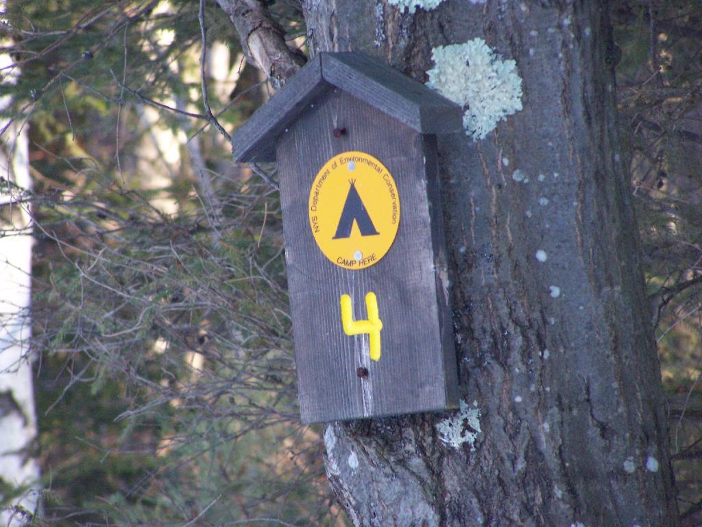
It used to be there was no designated campsites up there until 2007, when the state started posting four sites along main roads, along with “Camping By Permit Signs”. I used to camp off one of the truck trails in one or two places, and spent a great deal of the summer out there.

Campsite 4

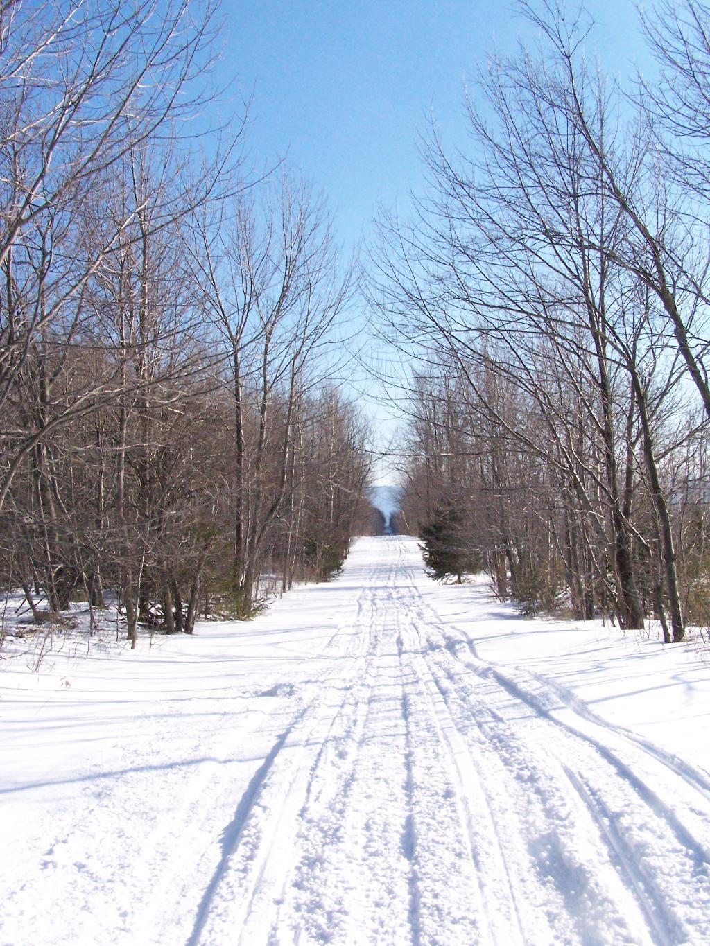
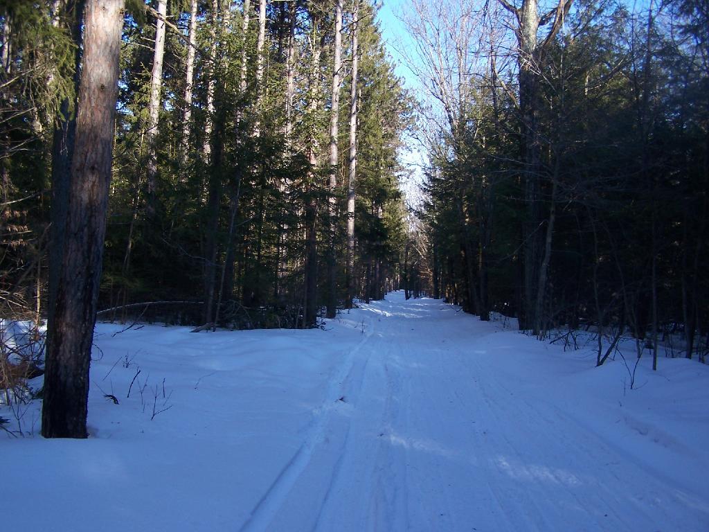
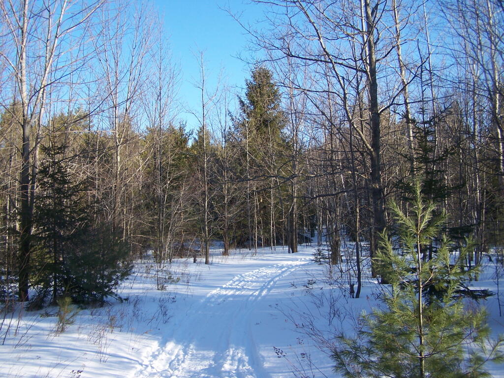
Snowshoeing along a truck trail. The truck trails up here are a lot of fun to drive in the summer, although they are bit overgrown and tight to drive, even with a compact pickup.

Along Truck Trail

Looking North Towards Dutton Ridge, you can see a clearing where Livingstonville is located.

Cotton Hill State Forest

Here is the section where the field is reverting back to woods. I used camp out back here a lot in the past.

Reverting Meadow

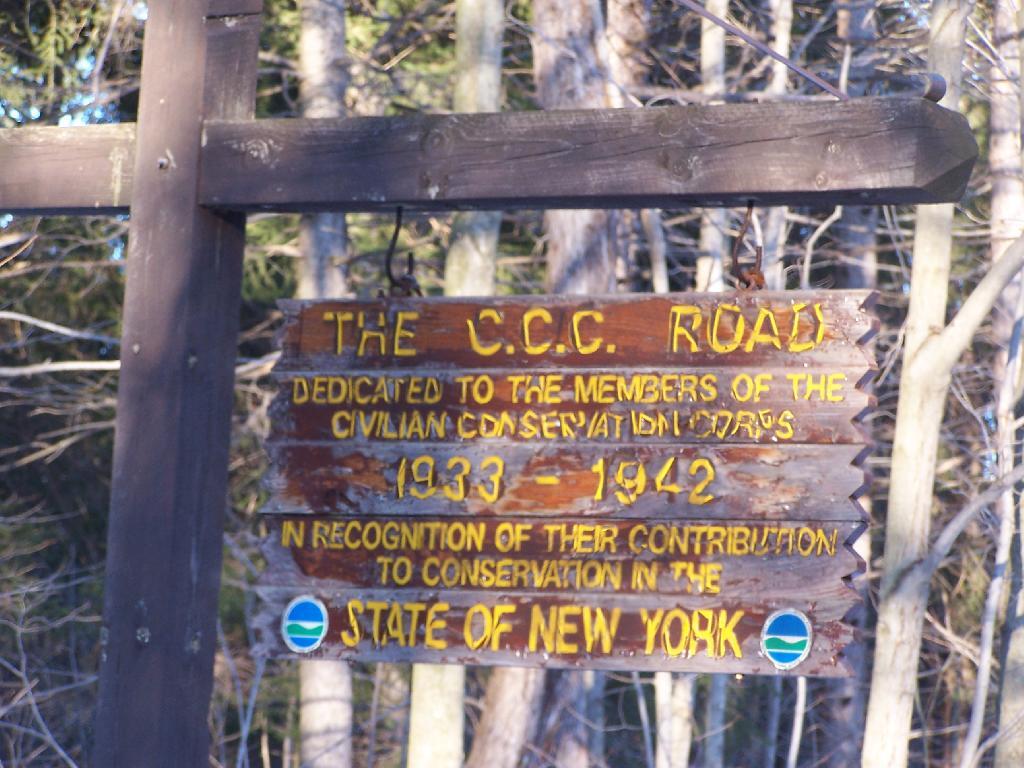
The C.C. Road sign recognizing the history of this preserve as an old CC Camp. The camp facilities where later developed into a youth treatment center, and now a training center for state park rangers, that currently is unused.

The CC Road

The map of the snowshoe hike.

Map: Cooksburg
SVGZ Graphic: 2022 Governor's Race in Albany County
SVGZ Graphic: 2024 Albany County Presidential Voters
SVGZ Graphic: Age and Gender of Albany County Residents
SVGZ Graphic: Albany County Fire Departments
SVGZ Graphic: Albany County Land Cover
SVGZ Graphic: Albany County Non-Contigous Cartogram
SVGZ Graphic: Albany County Presidential Vote, through the Years
SVGZ Graphic: Colonie Town Supervisor Race - 2021
SVGZ Graphic: Counties with a Similiar Population Density to Albany County
SVGZ Graphic: Most Similiar Land Cover to Albany County
SVGZ Graphic: Population Gain and Loss in Albany, 2000 to 2020
SVGZ Graphic: Population of Albany County
SVGZ Graphic: Weighted Population of Albany County Towns
Terrain Map: Albany County New Buildings 2015-2019
Terrain Map: Capital Region Land Use
Terrain Map: Development In The Albany Area
Terrain Map: Heldebergs
Terrain Map: Hills and Hollows Eastern Heldebergs
Terrain Map: Hills and Hollows Western Heldebergs
Terrain Map: Lake Albany
Thematic Map: 2020 Presidential Election in Albany County
Thematic Map: 2024 National Land Cover Dataset - Albany County, New York
Thematic Map: Albany County - Soil Dranage Class
Thematic Map: Albany County NY Towns
Thematic Map: Albany County Population Density - 3D Rendering
Thematic Map: Albany County Watersheds NAIP Imagery
Thematic Map: Albany County, NY Sub-watersheds
Thematic Map: Albany-area Urbanization between 2001 and 2019
Thematic Map: Areas of Prime Farm Land in Albany County
Thematic Map: Elevation of Albany County
Thematic Map: Level 4 Ecoregions in Albany County.
Thematic Map: Log Homes of Albany County
Thematic Map: Median Year Building Built, Albany County
Thematic Map: Named Summits in Albany County, NY
Thematic Map: Nobody Lives Here - Zero Populaton Blocks in Albany County
Thematic Map: Normans Kill Watershed
Thematic Map: Populated Places in Albany County, New York
Thematic Map: Residential Rental Properties in the City of Albany
Thematic Map: Wetlands of Albany County
Photo: Swamp
Photo: Green
Photo: Vly Creek Reservior
Photo: White
Photo: Summer
Photo: Frothingham Lake
Photo: Daisy

Leave a Reply

Your email address will not be published. Required fields are marked *